Interstate 10 (I‑10)
Interstate 10 (I‑10) is the southernmost transcontinental freeway in the United States. The highway runs 2,460 mi (3,959 km) from its western terminus at State Route 1 in Santa Monica, California, to its eastern terminus at Interstate 95 in Jacksonville, Florida. It connects eight states – California, Arizona, New Mexico, Texas, Louisiana, Mississippi, Alabama, and Florida – and major cities such as Los Angeles, Phoenix, Las Cruces, El Paso, San Antonio, Houston, Baton Rouge, New Orleans, Mobile, Pensacola, Tallahassee, and Jacksonville. The route was part of the Interstate Highway System planned in 1956, was formally designated I‑10 in 1957, and the final section (Deck Park Tunnel in Phoenix) opened in 1990.
Naming and numbering
-
Southernmost major east‑west route – numbers divisible by five are principal transcontinental interstates; I‑10 is the southernmost such route.
-
California names – The state legislature has bestowed several memorial names on portions of I‑10. Between Palm Springs and Coachella the freeway is the Sonny Bono Memorial Freeway (named in 2001); a short stretch near Indio is the Doctor June McCarroll Memorial Freeway (2000); the section east of Chiriaco Summit is the Veterans Memorial Freeway. The entire California segment was previously designated as the Christopher Columbus Transcontinental Highway (1976) and is also designated as a Pearl Harbor Memorial Highway.
-
Lane striping – In 1917 nurse Dr. June McCarroll painted a white line down the middle of a desert road near Indio (later part of US 99/I‑10). Her campaign led the California Highway Commission to adopt centerline striping in 1924, and the state honored her by naming a section of I‑10 after her.
Historical development
Early roads and designation
Before the interstate era, the route was part of the US 99, US 60 and US 70 corridors. California began planning a freeway overlay for these U.S. routes in 1955 and the Federal Aid Highway Act of 1956 authorized the nationwide Interstate network. By 1958 the new route was signed as Interstate 10 in California, and the 1964 state highway renumbering removed the overlapping U.S. route numbers.
Construction milestones
-
California – The Ramona Boulevard freeway (Los Angeles) built 1933‑1935 became an early section of I‑10. In January 1994 the Northridge earthquake collapsed two overpasses of the Santa Monica Freeway (I‑10). Emergency repairs cost around $30 million; thanks to round‑the‑clock construction and incentive payments, the freeway reopened just 84 days after the quake.
-
Arizona – Much of the highway through Phoenix (the Papago/Maricopa Freeway) was built depressed and covered with the Deck Park Tunnel. The tunnel opened on 10 August 1990, and its completion connected 2,460 mi of freeway, finishing the transcontinental I‑10.
-
Texas – The Katy Freeway west of Houston underwent a $2.8 billion widening completed in 2011; with main lanes, access roads and managed lanes, the corridor reaches 26 lanes, making it the widest freeway in North America. However, induced demand led to travel times increasing by 30–55 percent after the widening.
-
Louisiana – The Atchafalaya Basin Bridge, built 1971‑1973, carries I‑10 across Louisiana’s swamps. The parallel bridges stretch 96,095 ft (18 mi), making them one of the longest bridges in the U.S. and the second longest on the Interstate system. At Baton Rouge, the cantilever Horace Wilkinson Bridge (opened 1968) conveys six lanes of I‑10 over the Mississippi River; its superstructure length is 4,550 ft with a 175‑ft clearance.
-
Alabama – I‑10 crosses Mobile Bay via the George Wallace Tunnel and Jubilee Parkway. The Wallace Tunnel, built by sinking prefabricated sections, is a dual four‑lane tunnel 3,000 ft long with 16‑ft clearance and opened in 1973. East of the tunnel, the Jubilee Parkway (completed 1978) consists of twin viaducts, each two lanes wide; together they carry four lanes across 7.5 mi of Mobile Bay.
Role and characteristics in California’s Coachella Valley
Geography and routing
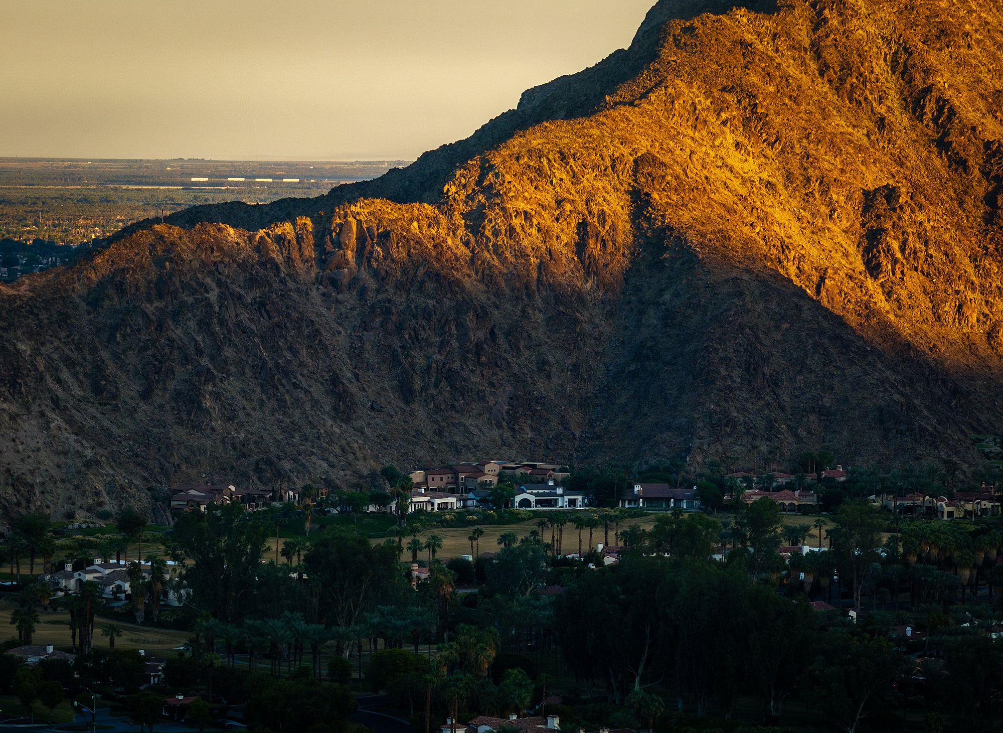
As I‑10 enters the Coachella Valley from the west, it descends from the San Gorgonio Pass and bypasses Palm Springs and Cathedral City. The freeway skirts the northern edges of Rancho Mirage, Palm Desert and La Quinta before reaching Indio and Coachella, where it intersects with State Route 86. East of Coachella the highway ascends past Chiriaco Summit into the Colorado Desert.
Economic importance
A Coachella Valley Association of Governments emergency plan notes that Interstate 10 is the major commercial corridor between Phoenix, Arizona and Los Angeles, California. Trucks carrying goods between Southern California’s ports and markets in the Southwest and Midwest rely on the freeway. Within the valley, I‑10 is eight lanes wide between SR‑60 and Monterey Street, six lanes from Monterey Street to Dillon Road and four lanes to Box Canyon Road, reflecting the transition from urbanized western sections to rural desert east of Indio. Alternative east–west routes such as SR‑111, SR‑86 and local arterials parallel the freeway but mainly serve local traffic.
Memorial names and historical connections
-
Sonny Bono Memorial Freeway – honors singer‑turned‑Palm Springs mayor and U.S. Representative Sonny Bono; designated from just west of the SR‑111 cutoff near Palm Springs to east of Coachella.
-
Dr. June McCarroll Memorial Freeway – commemorates the nurse who pioneered painted center lines; located near Indio between the Jefferson Street/Indio Boulevard interchange and SR‑86.
-
Veterans Memorial Freeway – honors military veterans on the desert grade east of Chiriaco Summit.
Infrastructure improvements
Rapid growth in the eastern Coachella Valley led to major interchange upgrades:
-
Jefferson Street Interchange – Completed in 2017 at a cost of $80.9 million, the project replaced an outdated interchange with a six‑lane bridge and modernized ramps, alleviating congestion for about 16,500 vehicles daily. It formed part of the long‑range I‑10 Coachella Valley Corridor Improvement Project.
-
Bob Hope Drive Interchange – Opened in 2011 near Rancho Mirage and Thousand Palms, this $25.5 million project built a new eight‑lane overpass connecting Bob Hope Drive across I‑10, improving access to local resorts and reducing congestion.
These projects, along with plans to improve the Monroe and Jackson Street interchanges, show how I‑10 infrastructure is continually adapted to meet regional growth.
Cultural and tourism role
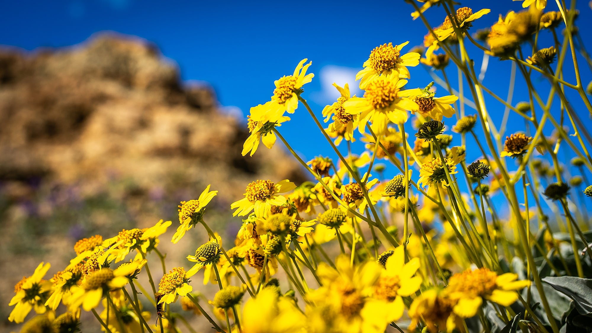
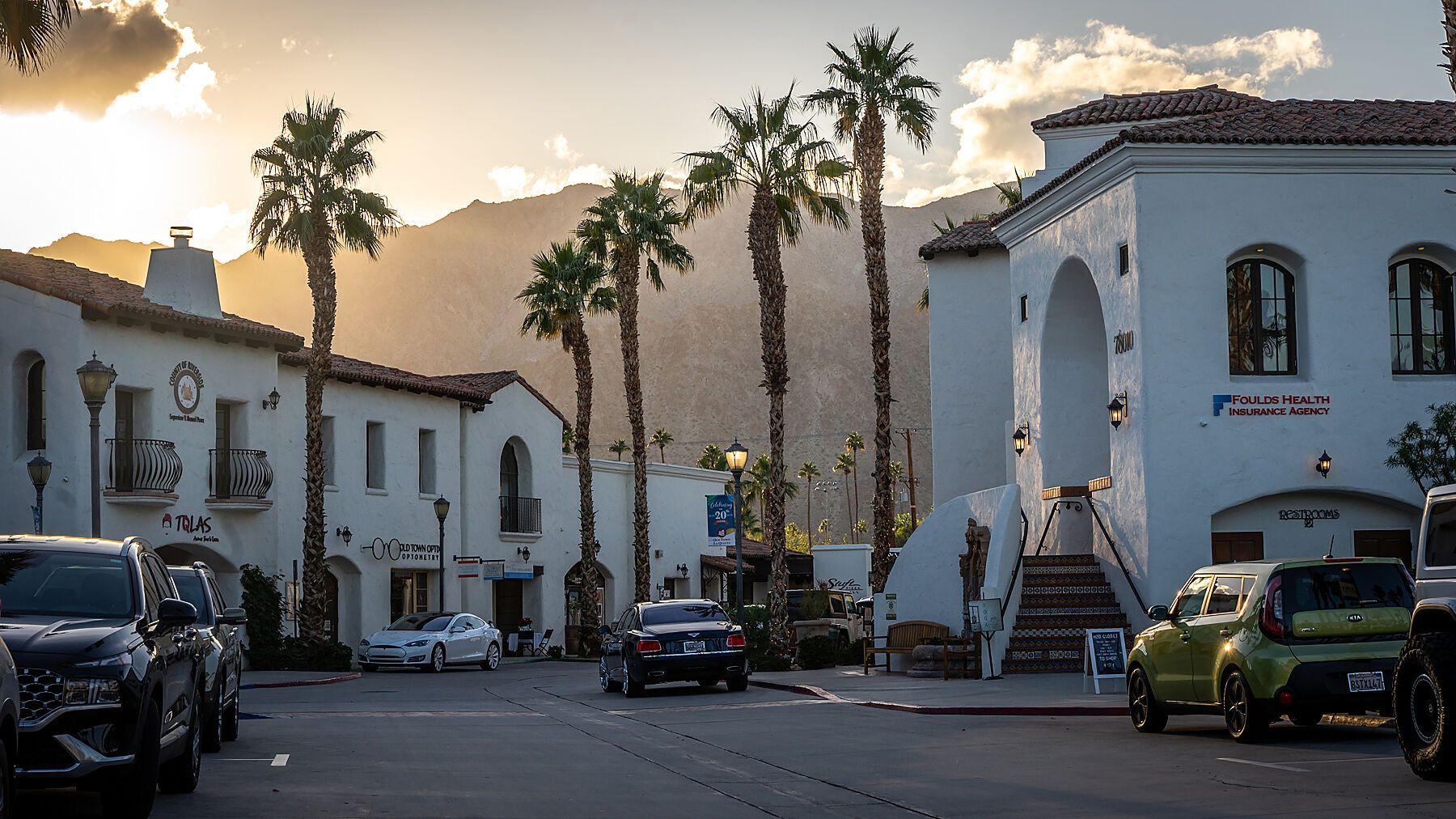
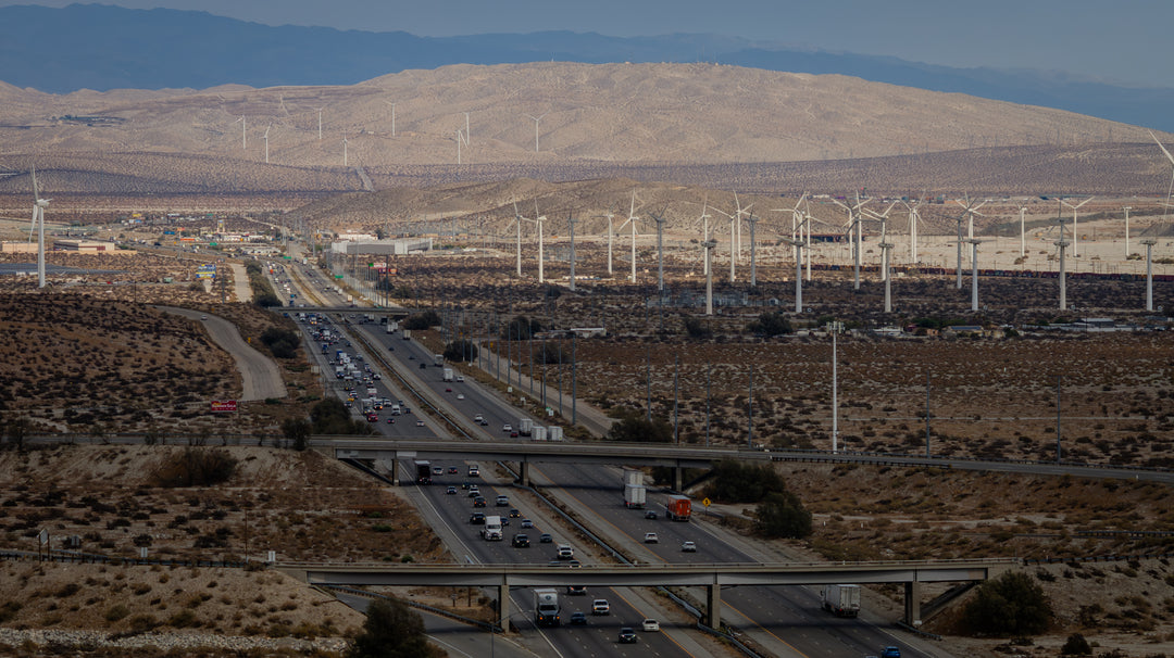
The Coachella Valley is famed for its music festivals, golf resorts and national parks. I‑10 provides the primary access route for visitors travelling from Los Angeles and Phoenix to events in Indio and La Quinta and to recreational destinations such as Joshua Tree National Park (via SR‑62). Its desert vistas also attract photographers and road‑trip enthusiasts; the highway passes wind farms near Palm Springs and vast date‑palm groves around Indio.
Notable structures along the route (outside California)
| Structure | State | Key facts |
|---|---|---|
| Atchafalaya Basin Bridge | Louisiana | Pair of parallel bridges (stringer design) carrying I‑10 over the Atchafalaya Basin; total length 96,095 ft (18 mi); opened 1973. |
| Horace Wilkinson Bridge (Mississippi River bridge) | Louisiana | Cantilever bridge carrying six lanes of I‑10 across the Mississippi River at Baton Rouge; overall length 14,150 ft with 175‑ft clearance; opened 1968. |
| George Wallace Tunnel | Alabama | Dual four‑lane tunnel under the Mobile River; 3,000 ft long with 16‑ft clearance; built by sinking prefabricated sections; opened 9 Feb 1973. |
| Jubilee Parkway (Bayway) | Alabama | Twin viaducts across Mobile Bay; each bridge two lanes wide; total length 7.5 mi; completed 1978. |
| Deck Park Tunnel | Arizona | Tunnel in Phoenix created by 19 adjacent bridge structures; opening on 10 Aug 1990 completed the last missing section of I‑10. |
| Katy Freeway (Houston) | Texas | Section of I‑10 widened to 26 lanes (six main lanes, four access lanes and managed lanes) at a cost of $2.8 billion. The expansion, finished in 2011, left it the widest freeway in North America, yet travel times subsequently increased 30–55 percent due to induced demand. |
Why I‑10 matters
Interstate 10 is both a transportation artery and a cultural icon. It carries millions of motorists, linking major metropolitan areas, military bases, agricultural hubs and ports across the southern U.S. Its ability to handle long‑distance trucking makes it essential for interstate commerce. Its scenic stretches – from the deserts of California and Arizona to Louisiana’s swamps and Florida’s beaches – make it a favorite for road‑trip travelers. In California’s Coachella Valley, I‑10 is more than a freeway; it is the lifeline that connects desert communities to the outside world and supports tourism, agriculture and the daily lives of residents.