


















Town & culture
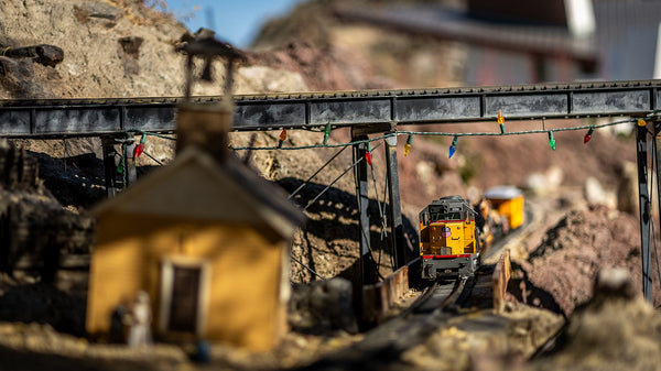
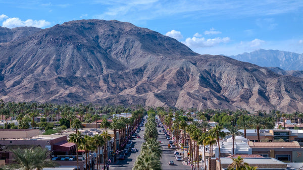
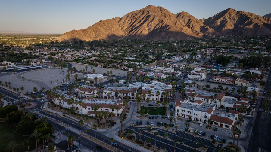
Old Town La Quinta
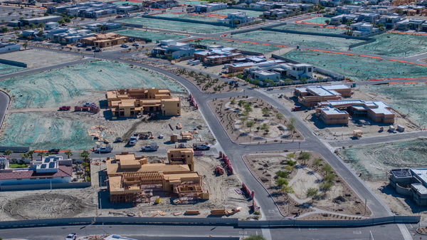
A walkable district of shops, restaurants and gathering spaces. Explore the streets, architecture and village story.
Fresh from the journal
Fresh from the journal
Fresh from the journal
Fresh from the journal
Fresh from the journal
Fresh from the journal
Fresh from the journal
Fresh from the journal
Fresh from the journal
 Start hereGet to know CotinoHomes, amenities and the details that shape life in the community.
Explore next
01Explore the interactive mapFind model homes, parks, amenities and your way around. 02Visit the model homesPlan your visit and see which homes you can tour. 03Explore the floor plansCompare home collections, builders and layouts. 04Read the home buying guideUnderstand the homes, lifestyle and ownership details. 05Understand the Artisan ClubMembership, amenities and access explained. 06Visit Cotino BayThe public waterfront, beach, dining and shops. 07Follow the developmentTrack progress on homes, Cotino Bay and the Artisan Club.Regional parkLa Quinta
Explore a 710-acre La Quinta park with a reservoir, camping, fishing, equestrian sites, shoreline walking, wildlife, and mountain views.
Your practical guide to fishing, camping, family afternoons, birds and mountain scenery.
Lake Cahuilla is where a La Quinta outing can slow down: bring a chair, watch the water, frame the mountains through your camera, or settle into camp. This is a public county regional park with paid admission. Choose your visit around what you actually want to do, then check the details that can change before leaving home.
Open the plan that fits your day. These are suggested itineraries, not scheduled park programs.
Look around before unpacking. Pick a comfortable base, locate the nearest restroom, and keep the walk short enough that everyone enjoys the return. Bring lunch rather than making supplies part of the adventure. Leave extra time for photographs and a quiet stretch watching birds. If the group includes young children or someone with limited mobility, prioritize an easy route between parking, seating and facilities.
Buy your state license first, check stocking information, pack sealed bait, and leave time for an entrance inspection. Ask staff where fishing is currently permitted and which areas are open. Set up with room to cast safely, especially around families. Choose a comfortable stopping time before heat or wind spoils the outing; bring a chair and enough food that catching fish is a bonus rather than a requirement.
Save your booking confirmation and park contact information offline. Complete grocery shopping and fuel stops first. On arrival, check your site and hookups before unloading, establish shade, and put loose gear away before evening wind. Ask staff about the current fire rules and gate procedure. Leave departure morning for packing and checking the campsite rather than trying to squeeze in every activity.
Bring binoculars or a longer lens and spend more time standing still than chasing a subject. Scan open water, then shoreline vegetation and nearby perches. Make a wide photograph for the setting and a tighter one for the detail. Keep anglers' casting space clear and give wildlife room to move. Return at different times and seasons to build a more interesting record.
Do not assume a later campground gate schedule means later day-use access. The official page lists a 6 a.m. opening, but its seasonal gate FAQ and general hours conflict. Call (760) 564-4712 for your date, particularly for summer visits or late camp arrivals.
Check the hourly forecast as well as the daily high: the temperature when you arrive and when you leave may be very different. Decide how much exposed walking or sitting your group will enjoy. Pack water within easy reach, a hat and sun protection; secure lightweight chairs, tents and loose items. On an uncomfortable day, shorten the visit or choose another day.
Accessibility: paved links connect accessible parking with day-use shelters/restrooms; shoreline terrain varies. Call about the exact route your group needs. The park reports no store or Wi-Fi, so bring supplies and save essential information before arriving.
Use this estimator for a standard day-use visit or a campsite subtotal. Fishing admission is shown as a range because the published fee list does not explicitly explain whether the fishing charge includes day-use admission. Confirm the total with staff. This tool does not make a booking.
Excludes state licenses, booking charges, pets, extra vehicles, pool fees, fishing during camp stays, equipment and holiday/event surcharges. Campsite range is not an availability quote. Only enter people who are fishing in the fishing fields; age 13–15 uses the park adult fee band but generally does not require a state license.
RivCoParks offers individual day-use and vehicle passes, a 12-day fishing book, and Salutes options for qualifying military members and veterans. An individual day-use pass does not include fishing. The fishing book can be used at Lake Cahuilla, Lake Skinner or Rancho Jurupa. Compare the current price with your likely visits and confirm exclusions before purchasing; a park pass does not replace a required state fishing license.
Anglers age 16 and older generally need a valid California sport fishing license. It is separate from the park's fishing charge and is not sold at Lake Cahuilla. CDFW offers short-term and 365-day options; the published 2026 one-day license is $21.09. Choose the correct date. Review current freshwater regulations for species limits and any additional validation, including requirements for using a second rod.
Lake Cahuilla has hosted both trout and catfish fishing derbies. Ask the park about its current fishery and most recent stocking before choosing tackle. In CDFW's schedule, search for Cahuilla and Riverside County; scheduled plants can change with conditions, and that list should not be treated as a complete record of county stocking. A stocking date cannot tell you whether fish will bite on your visit.
Lake Cahuilla's quagga-prevention handout requires bait in unopened, unused containers and bait buckets clean and dry for inspection. Waders and float tubes are prohibited. It also directs anglers to dispose of bait in trash before leaving and rinse equipment that contacted the water. Review the full handout rather than carrying used bait or wet equipment from another lake.
Read the official gear and bait requirements
A useful setup: rod and tackle, spare line, pliers, a chair, sealed bait, clean bucket, drinking water, sun protection, and a way to take your litter home. Keep hooks and discarded line away from children and wildlife. Before keeping fish, identify the species and check the applicable rules and CDFW's fish-consumption advisory links.
Options include hookup, water-only, dry and equestrian camping. Facilities include restrooms, showers and a dump station. Quiet hours are 10 p.m.–6 a.m.; the published maximum is six occupants and two vehicles per site, with a 14-day stay limit within 28 days. Confirm your booking's conditions and exact hookups.
| Your setup | What to confirm before reserving |
|---|---|
| RV or trailer | Site length, electrical service, water/sewer connections, leveling needs and room to park your tow vehicle. |
| Tent | Ground surface, shade at your arrival time, proximity to restrooms and how exposed the site feels. |
| Dry camping | Your water and power plan, waste disposal, food cooling and lighting after sunset. |
| Equestrian stay | Horse accommodations, trailer fit and currently permitted riding routes. Book the appropriate area. |
The booking portal is the best place to check site availability and the price for your dates. Compare the site map with your priorities instead of selecting solely from a scenic photograph. Ask which shaded sites are suitable for your equipment. For a busy holiday or festival period, confirm special pricing and cancellation terms before paying.
Park improvements celebrated in November 2025 included a repaired pool, pickleball, basketball and sand volleyball courts, an amphitheater and fishing-area shelters. These additions give a mixed group more to do than sit beside the water. Bring the ball or paddles you intend to use and ask about access or reservations for your date.
The pool is separate from the lake. The current park notice says it is closed for fall/winter. Confirm its seasonal schedule, admission and attire requirements before planning a pool day. A visible pool is not proof that it is operating.
For a family picnic, choose a comfortable base first, keep food contained and plan a simple activity for each age group. For a large gathering, contact the park about shelter reservations, capacity and event requirements rather than assuming a table can hold the whole party.
Plan a short out-and-back look around before committing to a longer walk. The park FAQ directs walking and biking to park roads; this guide does not promise a continuous, accessible 2.5-mile shoreline loop. Mark's earlier field notes describe rocky, uneven stretches on the north side. Let the actual surface and current signs determine your route.
The nearby mountain trail network is a separate outing, with more exposure and different access considerations. Use the La Quinta Cove hiking guide to compare routes; do not assume a hike from the Cove includes park admission or convenient access to every lakeside facility. Choose your turnaround before setting out.
Mark's existing Lake Cahuilla observations include Pied-billed and Western Grebes, Black Phoebe, Vermilion Flycatcher, Great Blue Heron, American White Pelican, Green Heron and Double-crested Cormorant. Use this as a starting list, not a promise that every species will appear.
Look for swimming birds across the water, patient hunters near the edge, and flycatchers returning to a favorite perch. Avoid walking directly toward a bird to get a closer frame. A quiet wait often gives you a more natural image. Keep your composition varied: water and mountain layers, shoreline detail, and the activities that explain the park's character.
These two elevated views were photographed by Mark Miller on September 30, 2026. They show the broader setting; they are not a route map or an indication that all visible land is open to visitors.

Explore the bird field guide · Open My DOI to save places and record discoveries
Tap items as you pack. This checklist lasts for the current page visit; it is separate from your My DOI saves.
Use this interactive overview to orient yourself, then use the official campground map and entrance signs for specific facilities. Directions should take you to the park entrance rather than a nearby neighborhood.
Keep pets leashed within six feet and clean up after them. Drones are prohibited. Use designated fire rings only, obey current restrictions, and leave wildlife undisturbed. The nearby sheriff's gun range can produce noise; consider that when choosing an outing centered on quiet.
The park is part of a working water landscape as well as a recreation destination. Riverside County has leased the recreation facility from CVWD and the U.S. Bureau of Reclamation since 1971; agreements approved in December 2024 extended its operation for 30 years. That shared responsibility helps explain why protecting the water and preventing invasive mussels matter here.
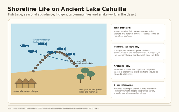
Today's park lake should not be confused with the vast prehistoric lake of the same name. Explore Ancient Lake Cahuilla for that larger geological story and the Cahuilla homelands for the region's deeper human context.
No. Plan your water-view outing from land. The separate pool operates seasonally; check its status before making swimming the purpose of your visit.
Prepare your license if required, sealed bait and clean equipment before arriving. Ask about current fishing access and stocking. Bring supplies rather than counting on a bait shop.
A reservation gives you a clearer plan. Check availability, site fit and total charges for your dates; contact staff about same-day options rather than assuming an empty-looking space is available.
Yes, if you enjoy a picnic, birds, photography or mountain scenery. Start with a short visit and let the conditions and your group's comfort determine how long you stay.
Park notices, the forecast, gate access, current activity or pool availability, and any holiday/event pricing. A familiar place can still require a different plan on your next visit.
Guide revised September 30, 2026. Original photography and existing field observations: Mark Miller. Suggested itineraries and packing advice are DOI recommendations. Seasonal hours and some official campsite totals conflict, so this guide avoids promising a specific total inventory or late access. Confirm time-sensitive details directly with the park.
Watch the related video with chapters: Lake Cahuilla Veterans Regional Park: Video Tour.

La Quinta, California
Put this place in context. Explore La Quinta’s neighborhoods, mountain trails, local history and everyday life, then use the city map to see how it all connects.
Explore the full La Quinta collection
Old Town La Quinta · Photography by Mark Miller
Get your bearings
La Quinta changes as you move through it: the Cove meets the desert, Old Town brings shops and gathering places together, and southern neighborhoods open onto golf courses and mountain views. Explore the photographs, place each destination on the map and find the side of the city that interests you.
The visual directory
Choose an interest, search the places and select a photograph to explore. Use Locate to see a destination on the city map.
Showing 72 of 72 places
Town & culture
A walkable district of shops, restaurants and gathering spaces. Explore the streets, architecture and village story.
Golf & resorts
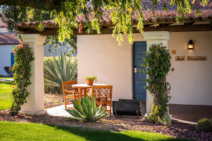
Casitas, courtyards and the mountain setting of La Quinta’s historic resort. Explore its story, dining and golf connections.

Communities
Explore La Quinta Cove’s mountain-framed streets, distinctive homes and desert scenery through original photography, neighborhood stories and AI-generated interpretations of its early years.
Residential neighborhood · respect private property

Trails & parks
Begin at the Cove and explore a network of desert routes beneath the Santa Rosa Mountains. Read the trail guide before choosing your route.
Trails & parks
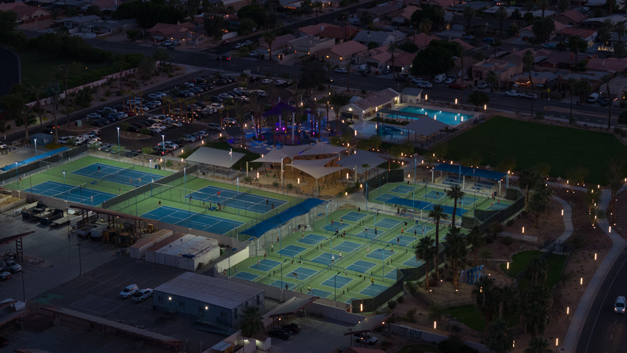
A community recreation hub with courts, swimming facilities, play areas and mountain scenery. Check the activity you want before heading out.

Golf & resorts
Explore the fairways and setting of this public golf course, with links to its history and visual course guide.

Golf & resorts
Mountain-framed public golf with a separate resort-development story. Explore the course, then follow the tracker for the wider project.
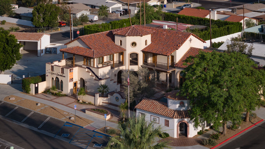
Town & culture
Local history, cultural exhibitions and community programs. Start here for a deeper understanding of the city.
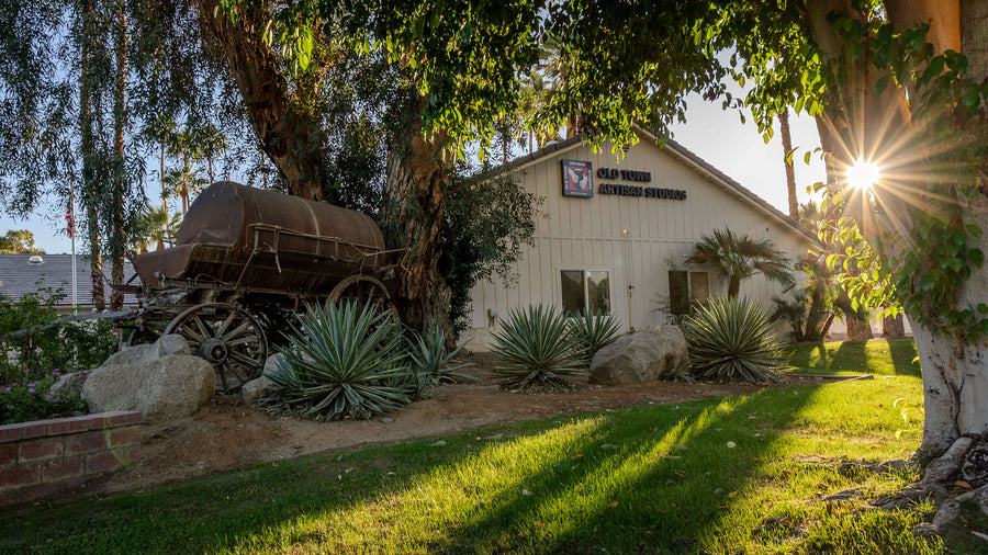
Town & culture
A nonprofit arts center offering creative experiences and community programs. Check current classes and events before visiting.
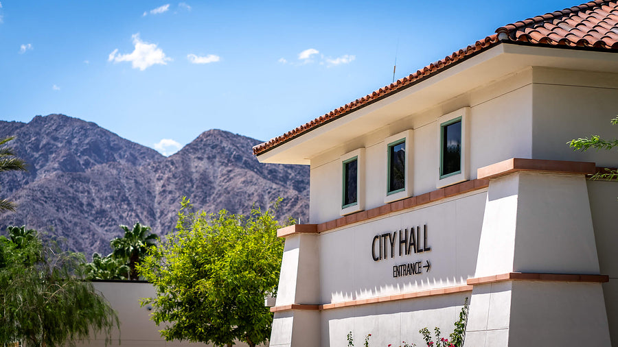
Trails & parks
Landscaped paths, public art and civic gathering places around City Hall, the library and wellness center.

Trails & parks
A dedicated skate and action-sports setting in La Quinta. Review current sessions, equipment and entry requirements.

Trails & parks
A landmark in south La Quinta’s landscape. Read the place guide and distinguish the mountain from the separate development project.

Trails & parks
The rugged backdrop to La Quinta and the valley’s southern edge. Explore the landscape before choosing a designated trail.

Trails & parks
A strenuous out-and-back climb from La Quinta Cove to a secluded palm oasis. Plan for the full return journey and check current trail conditions.
Trail · check current access and rules

Trails & parks
A demanding mountain route from La Quinta Cove, with a long loop or a shorter out-and-back option. Review distance, navigation and conditions before starting.
Trail · check current access and rules
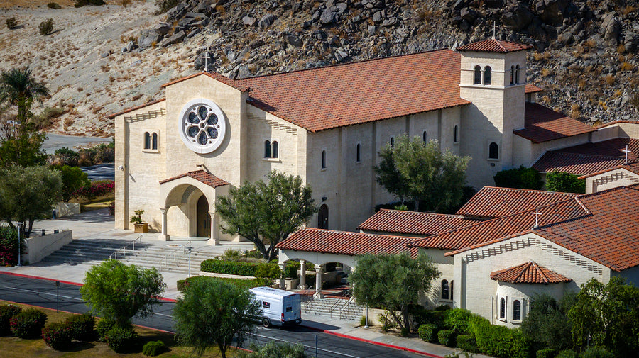
Town & culture
A distinctive church and active parish against the mountain backdrop. Explore its architecture and local history.
 Portrait
People & history
Explore Linda Evans’s public-service story and her connection to La Quinta’s civic life.

Roads & connections
The valley’s familiar commercial corridor. Explore its history and role in connecting local destinations.
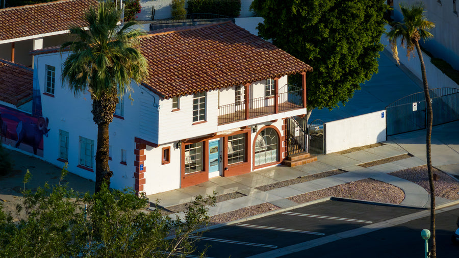
Town & culture
An early commercial site connected to the development of the Cove. Discover the history behind the village landmark.

Town & culture
A dining destination at Trilogy La Quinta. Explore the setting, then confirm current dining hours and reservations.

Roads & connections
The freeway that connects the Coachella Valley with the wider region. Read its history and geographic context.
 Portrait
People & history
Meet the entrepreneur behind La Quinta’s original resort and the desert retreat that influenced the city.
 Portrait
People & history
Follow the filmmaker’s connection to La Quinta Resort and the creative life of a desert hideaway.

Golf & resorts
Pete Dye’s Dunes Course brings a different style of golf to the resort area. Explore the layout and confirm current tee times.

Communities
A private golf community shaped by rugged terrain and a dramatic mountain setting. Explore the homes and community guide.
Private community · arranged access

Communities
A private golf and residential community in south La Quinta. Get perspective on its setting before researching individual homes.
Private community · arranged access

Communities
A private club community with a ranch history and mountain-framed fairways. Explore its setting and buyer resources.
Private community · arranged access

Communities
A gated residential community with estate-style homes and a shared recreation campus in south La Quinta.
Private community · arranged access

Communities
A 55+ community near the mountains with homes, recreation and a public golf course. Explore the community before narrowing your search.
Residential community · access varies

Communities
The residential setting around PGA WEST’s private Arnold Palmer course. Explore the homes, fairways and community context.
Private community · arranged access
 Portrait
People & history
Discover the golf architect whose designs helped shape La Quinta’s courses and the wider valley’s golf identity.
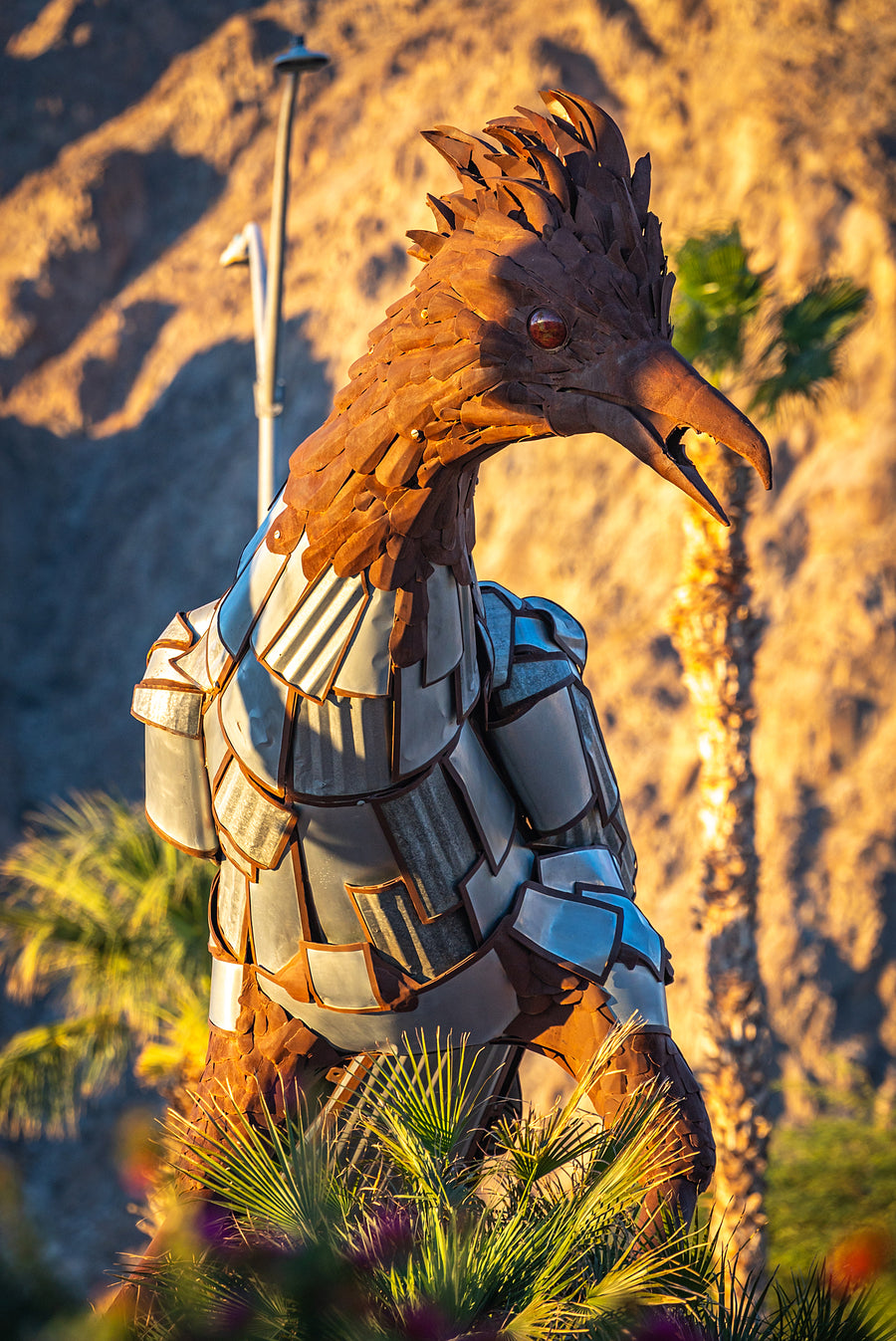
Town & culture
A large-scale public artwork with a festival-to-city story. Read its history and view it from a safe, lawful location.

Communities
A small residential and private-golf community in southeastern La Quinta. Explore its setting and dedicated home-buying guide.
Private community · arranged access

Hotels & stays
A suite hotel a short walk from Old Town La Quinta, with breakfast included, an outdoor pool, Terra Bistro and spa services.
Hotel / resort · confirm visitor privileges

Communities
A gated community along the Dunes Course, with tiled-roof homes, shared pools and spas, and a mountain setting near Old Town La Quinta.
Private community · arranged access

Communities
Explore a historic private golf club and its surrounding neighborhoods through aerial photos, golf heritage, membership details and home-buying notes.
Private community · arranged access

Dining & markets
Pizza and a broad bar-and-grill menu in Old Town La Quinta and The Shops at Palm Desert. Featured photo: La Quinta.
Business · check opening hours

Town & culture
The resort founder’s 1927 home, seen through original photographs, architecture and historic records. The resort describes it as a private residence.
Private residence · resort location only; ask staff about access

Explore La Quinta
A local stop for groceries, household essentials and fuel along Highway 111. Explore Costco La Quinta through Mark Miller’s aerial photographs of the warehouse, gas station and surrounding desert setting.

Communities
A gated neighborhood of spacious single-story homes, private backyards and established landscaping near Jefferson Street and Avenue 50.
Residential community · access varies

Communities
A small collection of contemporary single-story homes at Avenue 60 and Madison, with private pools, three distinct floor plans, and original aerial photography by Mark Miller.
Residential community · access varies

Communities
Explore Signature’s homes, resident clubhouse and golf setting through six original aerial photographs, with the Santa Rosa Mountains beyond.
Residential community · access varies

Communities
Explore the Nicklaus Residential entrance, its golf-and-lake setting and the homeownership distinctions within PGA WEST, photographed by Mark Miller.
Residential community · access varies

Dining & markets
Explore PGA West’s Private Clubhouse and Sports Club through original photography, with tennis, pickleball, swimming, fitness, dining and clear membership context.

Explore La Quinta
Public dining at the PGA West Tournament Clubhouse, with a golf-course setting, indoor dining and a terrace overlooking the Nicklaus Tournament Course.

Communities
A closer look at the Stadium area of PGA West: lakeside homes, desert golf and Pete Dye’s celebrated island green, photographed from above in La Quinta.
Residential community · access varies

Communities
Explore the Nicklaus Tournament area of PGA West, with original aerial views of its lakes, golf-side homes and relationship to the Tournament Clubhouse.
Residential community · access varies

Communities
Single-level homes, private pools and landscaped corridors north of Avenue 58.
Residential community · access varies

Communities
A compact gated street of tile-roof homes just north of Avenue 58.
Residential community · access varies

Communities
Contemporary homes, walled pool courtyards and a palm-lined central landscape.
Residential community · access varies

Communities
Custom homes and varied architecture along South Valley Lane and Vista Lazo.
Residential community · access varies

Communities
A short gated residential street alongside Madison Street in southern La Quinta.
Residential community · access varies

Communities
Single-story homes below Coral Mountain, south of Avenue 58.
Residential community · access varies

Explore La Quinta
Explore IID’s La Quinta office and Customer Service Center on Avenue 58 through original aerial photographs, local context and practical electric-service resources.

Communities
Detached homes, fairway patios and broad golf views in south La Quinta, with original aerial photography and a closer look at Legends’ place within PGA WEST.
Residential community · access varies

Communities
Explore Andalusia at Coral Mountain through Mark Miller’s original aerial photos of homes, lakes, golf and club amenities in South La Quinta.
Residential community · access varies

Communities
See The Hideaway in La Quinta through Mark Miller’s aerial photos of lakes, golf fairways, residential streets and distinctive desert homes.
Residential community · access varies

Communities
Explore PGA WEST’s Greg Norman setting in La Quinta with original aerial photos by Mark Miller: desert golf, lakes, homes and mountain views.
Residential community · access varies

Communities
Discover Monterra at PGA WEST in La Quinta through Mark Miller’s original aerial photography of the neighborhood, homes and nearby golf landscape.
Residential community · access varies

Communities
See The Residence Club at PGA WEST through Mark Miller’s original aerial photos of villas, landscaped grounds and the shared recreation setting.
Residential community · access varies

Communities
Explore Summerwell La Quinta through Mark Miller’s original aerial photos of rental homes, residential streets, the clubhouse and pool setting.
Residential community · access varies

Communities
View The Estates at La Quinta through original aerial photographs of its residential streets, spacious private grounds and individual desert homes.
Residential community · access varies

Communities
A gated South La Quinta neighborhood with courtyard homes, landscaped walking routes and private outdoor spaces near Avenue 52 and Monroe Street.
Residential community · access varies

Communities
Mediterranean-inspired homes, private courtyards and outdoor living in a compact gated neighborhood beside The Madison Club in South La Quinta.
Residential community · access varies

Communities
An established gated neighborhood and newer Enclave homes along Monroe Street, just north of Piazza Serena, with a residential desert setting.
Residential community · access varies

Communities
Single-story homes, courtyards and private outdoor spaces in a gated South La Quinta neighborhood at Monroe Street and Avenue 58.
Residential community · access varies

Communities
Explore the PGA WEST Weiskopf setting in South La Quinta through Mark Miller’s original aerial photography of lake edges, fairways and golf-side homes.
Residential community · access varies

Communities
Explore Puerta Azul in La Quinta through Mark Miller’s original aerial photographs of its architecture, shared recreation spaces and neighborhood setting.
Residential community · access varies

Communities
Original aerial photographs of Diamante by CrestWood, La Quinta, with neighborhood context and local resources.
Residential community · access varies

Communities
Original aerial photographs of La Cantera, La Quinta, with neighborhood context and local resources.
Residential community · access varies

Communities
Original aerial photographs of La Quinta Polo Estates, with neighborhood context and local resources.
Residential community · access varies
Try a shorter name or return to all guides.
Put it in perspective
Explore La Quinta with DOI’s own interactive map. Choose a place to see its guide, switch to satellite imagery, or open the full map to explore farther.
Use two fingers to move the map on touch screens. On a computer, hold Ctrl or Command while scrolling to zoom. You can also use the zoom buttons.

A different pace
The Cove trails, Lake Cahuilla and neighborhood parks offer different ways to spend time outside. Start with the setting, then choose an outing that fits the weather and your plans.
Lake Cahuilla is a regional park with its own operating rules. Trail access and recreation facilities elsewhere in La Quinta are separate.
Explore the full city mapMake it your own
Choose an interest for a starting plan, with links to the guides and current information you need.
Explore the shops, dining and architecture, then choose the places that interest you.
Explore Old TownVisit the museum’s current information and connect the modern city with its past.
Explore the museumLook at current arts programs, classes and events at Old Town Artisan Studios.
Discover the arts centerCheck opening times, current exhibitions and any class reservations before heading out.
Compare the trail options and terrain before deciding how far to go.
Read the Cove trail guideExplore Lake Cahuilla’s setting, then check official admission and activity information.
Explore Lake CahuillaDiscover Fritz Burns Park’s courts, recreation spaces and mountain backdrop.
Explore Fritz Burns ParkThese are separate options. Choose according to weather, terrain, time and current access.
Use the visual Trilogy golf guide to get familiar with its holes and mountain setting.
Open the golf course guideExplore the public golf destination and its dramatic position beneath the mountains.
Explore SilverRockLearn the resort’s history and confirm the dining or activity reservation that fits your plans.
Explore La Quinta ResortPublic, resort and private courses have different booking and access arrangements. Confirm your exact course and entrance.
Start with the La Quinta buyer guide and compare the settings of its neighborhoods.
Read the city buyer guideUse Bloom to connect available homes with the communities and locations you prefer.
Search La Quinta homesOrganize your priorities and observations before visiting properties with Mark.
Open the home-touring guideCompare the community as well as the property. Confirm the current details that affect the specific home you are considering.
Understand La Quinta through original photography: compare its areas, locate hotels and medical services, and connect the village, mountains, shopping, and freeway routes.
Read the storyA relaxed one-day itinerary from La Quinta Cove to Old Town, with brunch, local history, public art, and dinner—plus day-of-week and hot-weather alternatives.
Read the storyPlan your La Quinta Art Celebration visit: upcoming dates, tickets, parking, art, food, history, and a relaxed day in Old Town La Quinta.
Read the story Regional guide · La Quinta contextCompare 18 hikes across the Coachella Valley, Palm Springs, nearby preserves and Joshua Tree, with an interactive trail map, parking details and shorter alternatives.
Read the story Regional guide · La Quinta contextFour places I recommend for recreational drop-in pickleball in the Coachella Valley, with honest morning-versus-night guidance, free and paid options, skill-level pods, and tips from...
Read the story Regional guide · La Quinta contextFind scenic views near Palm Springs and across the Coachella Valley without a big hike. Compare eight stops, original photographs, parking, paths and walking effort.
Read the storySeven places for an everyday walk in the Coachella Valley, from flat park circuits and zoo paths to El Paseo and downtown Palm Springs.
Read the story Regional guide · La Quinta contextFind a course that fits your game, your day and your trip. Compare 44 Coachella Valley golf profiles by location, course character, access, maintenance and...
Read the storyDiscover how Great Blue Herons combine patient watching, slow steps and sudden strikes, with Mark Miller’s Lake Cahuilla photographs and an interactive hunting guide.
Read the storyLook beyond the yellow flowers: a palo verde’s green branches help it capture sunlight when leaves are sparse. Explore the tree through Mark Miller’s La...
Read the storyFive different ways to make dinner an occasion—and a practical guide to choosing the right one.
Read the storyExplore how American White Pelicans scoop, drain and swallow their food, with Mark Miller’s Lake Cahuilla photography and an interactive feeding guide.
Read the storyWhy does the Loggerhead Shrike impale prey? Explore the lookout perch, hooked bill and thorn in an interactive guide illustrated with Mark Miller’s photographs.
Read the storyHow I evaluate photographs through six qualities, with a 57/60 self-assessment of my Chiron Burl portrait, an artist statement, and a scorecard you can try.
Read the storyLocal history
A resort, a desert neighborhood and a vanished club explain how La Quinta took shape.
Local history
Start with the resort that gave the city its name and helped establish its reputation.
Read the storyLocal history
See how an ambitious subdivision became the neighborhood below the Santa Rosa Mountains.
Read the storyLocal history
Discover the social club behind the Cove’s early promise, even though the building is gone.
Read the storyBefore golf courses and subdivisions, Point Happy was a landscape of date palms, Arabian horses, and ranch families who helped shape La Quinta.
Read the storyThe documented history of Marshall Ranch in La Quinta—from Marshall’s Cove and Hacienda del Gato to the land preserved within Tradition Golf Club.
Read the storyHow a Gary Panks course became a national television stage, survived fractured ownership and a 27-month closure, and returned under homeowner ownership.
Read the storyUnderstand Old Town La Quinta’s Main Street development, the surrounding historic Village, restaurant locations, and the difference between property owners and business operators.
Read the storyHow a parish born in borrowed spaces became a La Quinta landmark shaped by Assisi, Hollywood, local art, and more than fifty years of growth.
Read the storyA family pizza recipe, a growing franchise and two desert restaurants: follow Stuft Pizza’s story from Cerritos in 1976 to La Quinta and Palm Desert.
Read the storyThrough Mark’s camera
Get to know the city’s neighborhoods, then come along for a scooter ride through La Quinta.
City overview and home buying
Scooter ride and local life
From visiting to living
The Cove, a golf community and a 55+ neighborhood can offer very different daily experiences. Learn the area before narrowing your search, compare homes on Bloom and plan your tours with Mark.
Compare its neighborhoods and the questions that matter before touring homes.
Read the La Quinta buyer guideCompare your optionsSee how the two cities differ in setting, communities and everyday life.
Open the city comparisonFollow what is changingSeparate the existing golf destination from the wider resort-development story.
Read the SilverRock trackerNovember 2 aerial photographs document earthwork, equipment and temporary facilities at Coral Mountain Desert Club. Follow the dated photo record, approvals and next milestones.
Read the storyHow electrical capacity, hotel and housing plans, SilverRock and public access are shaping La Quinta's next phase of growth.
Read the storyTrack Travertine in south La Quinta with verified milestones, current project status, annotated aerial views and Mark Miller’s September 30, 2026 photographs.
Read the storyMountain views, everyday drives and the quieter rhythm of life in south La Quinta.
Read the storyCompare established Capistrano homes and the later Enclave collection, with original photos, plan references, ownership questions and monthly connected MLS data.
Read the storyStudy Carmela courtyard homes, building chapters, the central green space and private outdoor living, with original photos and a monthly connected market report.
Read the storyTwo-story homes, private patios, shared amenities, and what to compare before buying in this gated south La Quinta community.
Read the storyExplore Duna La Quinta homes, HOA responsibilities and golf access with Mark Miller’s original photos and an interactive three-year MLS Market Explorer.
Read the storyLarge homes, private lots, HOA amenities, and the tradeoffs between established resales and Toll Brothers’ new enclave in La Quinta.
Read the storyExplore La Quinta Country Club homes with Mark Miller’s original photos, ownership guidance and a three-year MLS Market Explorer by property type and enclave.
Read the storyExplore La Quinta Cove’s distinctive homes, no-HOA lifestyle, mountain views, hiking access, Old Town proximity, and practical home-buying considerations.
Read the storyCompare La Quinta Fairways homes, courtyards, guest suites, private pools and ownership costs with seven original photos and a three-year MLS Market Explorer.
Read the storyCompare Lake La Quinta homes, lake and dock rights, layouts and ownership costs with original photos, video and a three-year MLS Market Explorer.
Read the storyExplore Mountain View Country Club homes and The Village, social and golf membership questions, ten original photos and a three-year MLS Market Explorer.
Read the storyUnderstand the Legends neighborhood, compare Pasadera and Ventana plan references, and separate the golf setting, ownership costs and monthly market evidence.
Read the storyCompare residential areas, HOA responsibilities, club access, rental rules, and the ownership budget behind a PGA WEST home.
Read the storyCompare Palm Royale condos, layouts, HOA costs, golf and rental questions with original photos and a three-year MLS Market Explorer.
Read the storyArchitectural homes, scenic lakes, private outdoor living, and the costs and floor plan details that shape ownership in South La Quinta.
Read the storyCompare established homes and the later Bella collection, private yards, ownership costs and South La Quinta location, with a connected monthly Market Explorer.
Read the storyExplore Puerta Azul homes, floor plans, HOA costs, amenities, rental rules, location, and recent La Quinta market data for buyers.
Read the storyCompare Rancho La Quinta homes, casitas, ownership costs and club membership with Mark Miller’s original photographs and a three-year MLS Market Explorer.
Read the storyStudy courtyard homes, lot positions, private outdoor space and ownership costs near Avenue 52, with original photos and a connected monthly Market Explorer.
Read the storyStudy Renaissance at La Quinta with original aerial photos, a fresh two-year MLS review, current HOA references, private-pool and home checks, rental rules and a...
Read the storyCompare The Citrus homes, guest casitas, private pools, HOA and club choices with 11 original photos and a reviewed three-year MLS Market Explorer.
Read the storyExplore the home types, private golf, renovated club facilities, and ownership choices that shape life in South La Quinta.
Read the storyA focused guide to The Palms homes, location, HOA costs, private golf membership, lot differences, and MLS resale evidence.
Read the storyExplore The Quarry’s custom homes, private golf, mountain setting, historical MLS results, and the details that matter when buying in South La Quinta.
Read the storyArnold Palmer golf, custom homes, mountain settings, and the membership and ownership choices that shape life in South La Quinta.
Read the storyExplore Trilogy La Quinta homes, floor plans, HOA costs, amenities, golf, location, and buying considerations. Find current pricing and detailed comparisons in the linked market-trends...
Read the storyCompare Heritage Palms and Trilogy La Quinta by home prices, HOA costs, casitas, golf, amenities and location, with interactive comparisons and live Community Explorer cards.
Read the storyCompare neighborhoods, golf, resident benefits, routes and ownership costs—with community cards and connected market prices.
Read the storyCompare wind, freeway access, neighborhoods and country-club choices—with community cards and connected market data.
Read the storyCompare Madison Club and The Hideaway by homes, golf and club lifestyle—then explore 2003–2026 MLS trends with interactive period, property-type and size controls.
Read the storyCompare Rancho La Quinta and Mountain View Country Club with MLS sales, home layouts, HOA and social costs, golf membership and buyer tradeoffs.
Read the storyCompare Trilogy La Quinta vs. Del Webb Rancho Mirage: golf, newer homes, The Outlook, HOA costs, CFD taxes, video tours, photos and closed-sale data.
Read the storyCompare Trilogy La Quinta and Sun City Palm Desert: homes, golf, community scale, HOA cost structure, daily routines and shared MLS sales evidence.
Read the storyCompare Trilogy La Quinta vs. Sun City Shadow Hills: home styles, golf, HOA costs, location, video tours, photo galleries and matching MLS sales filters.
Read the storyCompare Trilogy La Quinta and Trilogy Polo Club: 55+ rules, homes, golf, amenities, HOA and Club costs, location, market evidence, and buyer fit.
Read the storyFrom the original Drummond development to Sunrise’s continuing buildout: Andalusia’s history, home collections and six new aerial photographs from November 2, 2026.
Read the story Regional guide · La Quinta contextCompare six Coachella Valley neighborhoods through private yards, shared pools, condominium living and club connections, illustrated with Mark Miller’s photographs.
Read the storyA closer look at custom estates, villas, clubhouse suites, Tom Fazio golf, private-club living, and Madison’s July 2026 market snapshot.
Read the storyAn on-course conversation about restoring consistency, growing the game, and what Trilogy’s golf experience means for residents and public players.
Read the storyHow I help buyers compare homes in the same community: understanding natural light, privacy, lot position, floor-plan details, condition and the costs behind each choice.
Read the storyDiscover how Shea Homes created Trilogy La Quinta, from its original planning and infrastructure to the golf, clubs, and homes that shaped the community.
Read the storyCompare Trilogy La Quinta floor plans through office privacy, guest bathrooms, golf-cart access, courtyards and Mark Miller’s firsthand observations.
Read the storyStone Creek Ranch and Griffin Ranch can enter the same La Quinta home search for a straightforward reason: both offer substantial detached homes, private outdoor...
Read the storyThe Estates at La Quinta is a residential pocket along Mountain View Lane, west of Monroe Street, where the grounds are a major part of...
Read the storyMonterra at PGA WEST combines a small residential enclave with substantial single-level homes, private pools and covered outdoor rooms. Its setting within the Greg Norman...
Read the storyA few useful answers
Start with DOI’s place guides, trail information and ideas for today and this week to plan your time in La Quinta.
Old Town and the nearby museum are useful starting points for the city’s shops, culture and history. The Cove offers a different perspective at the mountain edge. Use the map to connect these areas with the resort, parks and communities farther south.
They are connected parts of the city with different roles. Old Town is a shopping, dining and gathering district. The Cove is a residential neighborhood extending toward the Santa Rosa Mountains and its trail network. Choose the destination that matches your plans.
Access differs by course. Public and resort courses use their own booking systems, while private clubs require authorized access. A home in a golf community does not automatically include golf privileges. Confirm the specific course, reservation and entrance before visiting.
Use the route or park guide to understand the terrain and access, then check current weather and official notices. Desert trails can be exposed and uneven. Lake Cahuilla has its own admission and activity rules; a map pin does not confirm that every facility is available.
Start with the neighborhood’s location, home types, amenities and day-to-day surroundings. Use the city and community guides to build perspective, explore current listings on Bloom and arrange authorized tours with Mark. Community rules, costs and club access need property-specific review.
The surrounding area

Compare La Quinta neighborhoods, layouts, association and club costs with Mark Miller’s photos, videos, city map, relocation advice and dedicated market report.

How electrical capacity, hotel and housing plans, SilverRock and public access are shaping La Quinta's next phase of growth.

Three trails begin where La Quinta Cove meets the Santa Rosa Mountains. Learn where to park, which route fits your day, when to hike...


