
















Mountain rangeValley-wide
Santa Rosa Mountains
Explore the Santa Rosa Mountains through Mark Miller’s photography, interactive geology and habitat illustrations, Cahuilla history, bighorn sheep conservation and practical ways to visit.


At a glance
- Setting
- Southwestern Coachella Valley
- Range system
- Peninsular Ranges
- High country
- Toro Peak · about 8,700 ft
- Habitats
- Desert, woodland & forest
- Explore
- Canyons, trails & scenic drives
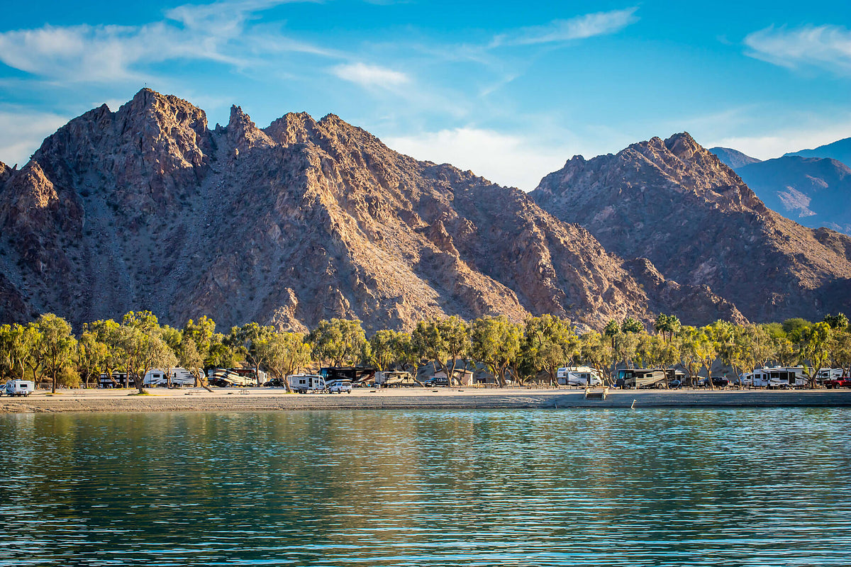
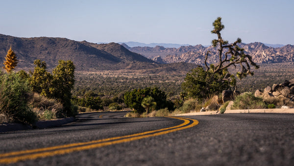
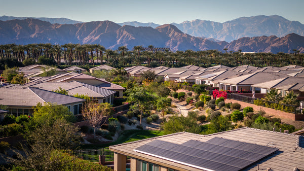
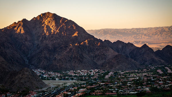
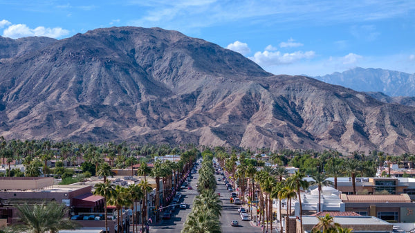
The Santa Rosa Mountains give the southern Coachella Valley much of its character: craggy slopes behind La Quinta, canyons above Palm Desert and a high country that feels far removed from the desert floor. Mark Miller’s photographs invite a closer look at the rock, water, wildlife and human history behind that familiar skyline.
- Understand the land: separate the story of ancient rock from the forces shaping today’s mountains.
- Explore the living landscape: move from desert scrub toward woodland and higher forest.
- Choose your way in: compare a short walk, Cove hiking, a scenic drive and backcountry travel.
Find the Santa Rosas in the valley
The Santa Rosa Mountains form part of the Peninsular Ranges along the southwestern side of the Coachella Valley. From the valley, their foothills can feel almost within reach; the higher interior is a much larger landscape. [1]
Santa Rosa Mountains
Rocky desert foothills, deep canyons and higher mountain habitats. Toro Peak reaches roughly 8,700 feet; summit access needs its own check. [12]
San Jacinto Mountains
A separate range within the same National Monument. The Palm Springs Aerial Tramway accesses San Jacinto, rather than the Santa Rosa Mountains. [1]
National Monument
Established in 2000 and jointly managed by BLM and the Forest Service. Its roughly 280,000-acre boundary spans both ranges and several jurisdictions. [1]
The Monument’s often-quoted 10,834-foot maximum refers to San Jacinto, not to a Santa Rosa summit. Range, wilderness and monument boundaries describe different things.
Locate the range on the regional map →
How rock became a mountain landscape
There is no single birthday for an entire mountain range. Forming the bedrock, moving the crust and exposing the rock happen on different timescales. Select a process below to follow that distinction.
Original educational illustrations by Desert Oasis Insider. Conceptual and not to scale; they are not surveyed geological cross-sections or route maps.
Read the mountains through Mark’s lens
Select a numbered feature to change the explanation. Select the photograph itself to open the full-screen gallery.
From desert slopes to higher forest
Elevation changes the setting, but water, exposure and terrain also matter. Explore three broad habitat settings below. These are illustrative groupings, not fixed elevation bands.
Water makes the exceptions
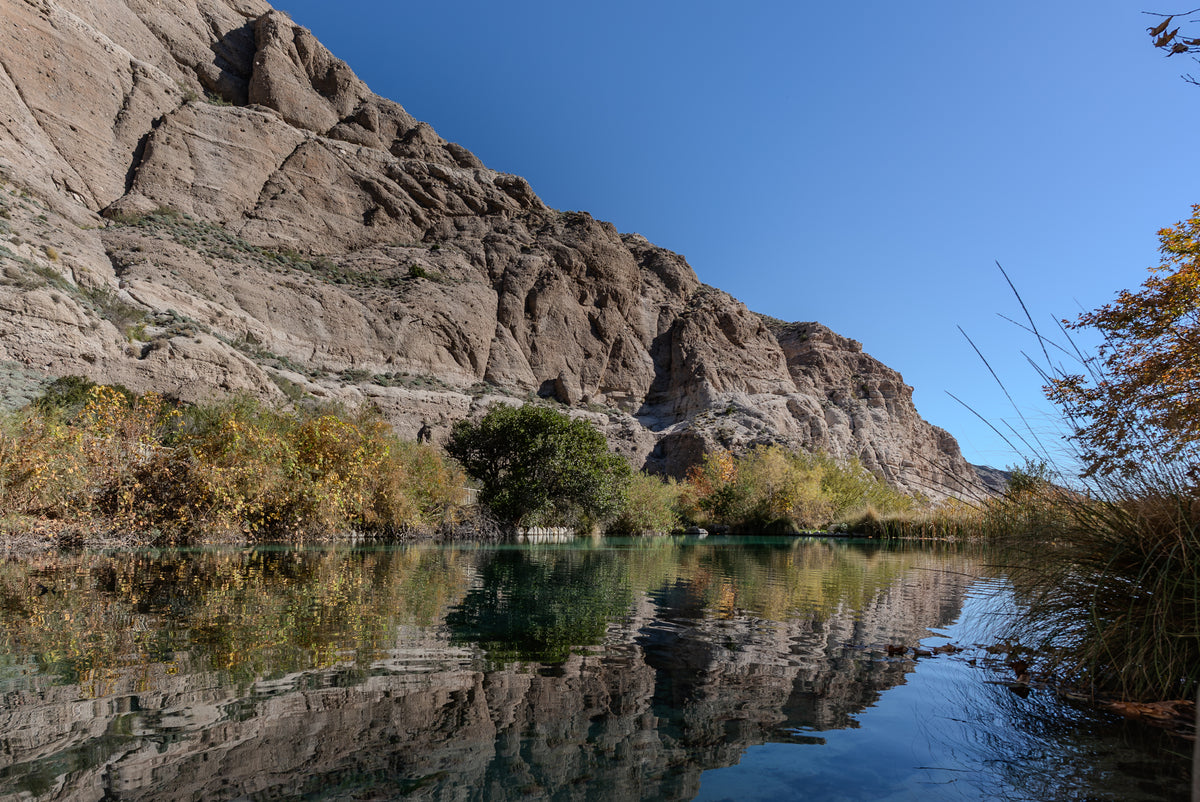
Springs, streams and protected drainages can create greener pockets in a dry mountain landscape. Bear Creek Oasis is one example within the Santa Rosa Wilderness. An oasis is a habitat to protect, and should never be treated as a guaranteed drinking-water supply. [6]
Why the foothills matter to bighorn sheep
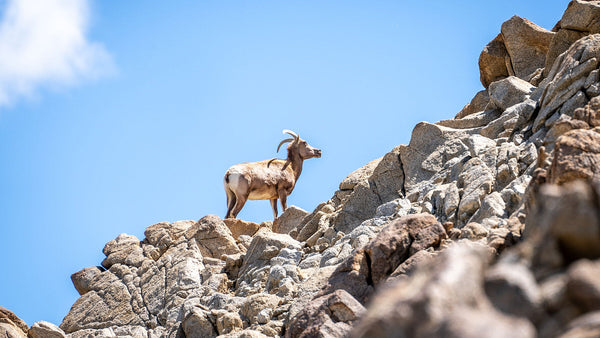
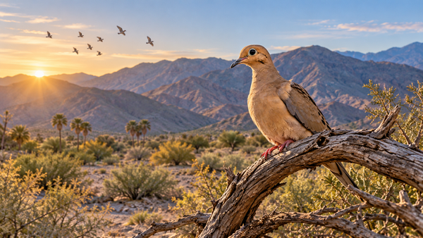
Peninsular bighorn sheep are a distinct population of desert bighorn sheep, federally listed as endangered in 1998. Their habitat includes lower, east-facing slopes, generally below 4,600 feet. Steep, open terrain helps them escape predators and raise lambs; food and water are equally important. [5]
Development and fragmentation can disconnect that habitat, while recreation can cause disturbance. Observe with binoculars or a longer lens, give animals space, and avoid blocking their movement or access to water. A sighting is a privilege, never a promise. [5]
Learn to recognize bighorn sheep →
A living Cahuilla homeland
The mountains are also a cultural landscape. The Santa Rosa Band of Cahuilla Indians describes ancestral connections across Toro Peak, Coyote Canyon, Garner Valley and the present reservation. Its history recounts seasonal movement between lower desert canyons and cooler mountain elevations. [12]
The Tribe’s account also describes gathering acorns, pinyon nuts, agave and yucca, and the continuing work to pass basketweaving traditions to new generations. Learning this story directly from the Tribe gives the landscape more meaning than treating it as scenery alone. [12]
Respect tribal ownership and cultural places. Read the Santa Rosa Band’s own cultural history; leave objects and sites undisturbed.
Choose your way to explore
Begin with the experience you want, then check the specific route. A convenient trailhead does not make every destination beyond it an easy outing.
Plan for the place, not just the view
- Match the season to elevation. BLM identifies November–April as the usual lower-trail season and May–October for higher trails. Actual forecasts, heat, snow and closures govern the day’s decision. [11]
- Carry a route and a return plan. Cell reception is unreliable in parts of the Monument. Take an offline map and leave your itinerary with someone. [11]
- Carry your water. Do not plan around a spring being available. Choose a conservative turnaround that leaves enough water and daylight for the return.
- Check the rules for the actual land. Dogs and bicycles are restricted on many routes; bicycles are prohibited in designated wilderness. [11]
- Honor seasonal closures. CDFW lists Carrizo Canyon Ecological Reserve as closed January 1–September 30 to protect this sensitive area. Its notice is specific to that reserve, not a blanket closure of the range. [13]
Access notes checked September 29, 2026. Confirm current agency notices before each outing; hours, routes and restrictions can change.
See the mountain setting on film
Use the “Through Mark’s Camera” film section above the guide to watch the Santa Rosa Mountains, Coral Mountain and SilverRock Resort. These films add context to the places and perspectives shown in the photo gallery.
Watch Coral Mountain
Watch SilverRock Resort
Frequently asked questions
Are the Santa Rosa Mountains and San Jacinto Mountains the same range?
No. They share a National Monument designation, but are distinct ranges. The Palm Springs Aerial Tramway goes into the San Jacinto Mountains. [1]
How old are the Santa Rosa Mountains?
The answer depends on whether you mean the bedrock or the landscape. Much of the crystalline rock has a Cretaceous or older history, while uplift, tilting and erosion have continued to reshape the terrain. A single “formed X million years ago” date hides that distinction. [1, 2]
Can I bring my dog?
Check the exact route. CVCC prohibits dogs on La Quinta Cove mountain trails, and BLM prohibits them on most Monument trails. The Ed Hastey Garden Trail is a specific exception allowing leashed dogs. [7, 8, 11]
What is a good first visit?
For a first introduction, consider the Visitor Center garden or a carefully chosen Randall Henderson loop. For mountain hiking, compare the Cove routes before choosing a destination. Match the outing to the weather, your experience and your available time.
Can I drive to Toro Peak or assume all mountain land is public?
No. The Santa Rosa Band identifies Toro Peak among its reservation parcels and operates communications facilities there. Public-land boundaries, road access and permission to enter a summit are separate questions. Check current access, respect gates and obtain permission where needed. [12]
Sources & further exploration
- BLM — National Monument overview, geology and designation
- USGS — Crustal-scale tilting of the central Salton block (Dorsey & Langenheim, 2015)
- USGS — Southern Santa Rosa Mountains and Borrego Badlands geologic map (2023)
- US Forest Service — Land Management Plan, Santa Rosa Wilderness environmental description
- US Fish & Wildlife Service — Peninsular bighorn sheep
- BLM — Santa Rosa Wilderness habitats and canyons
- BLM — Palms to Pines Byway, Ed Hastey Garden and Randall Henderson trails
- CVCC — La Quinta Cove trails and dog restrictions
- CVCC — Regional environmental setting and trail descriptions (2007; historical route context)
- City of La Quinta — Bear Creek walking path
- BLM — Monument recreation, safety and trail rules
- Santa Rosa Band of Cahuilla Indians — Culture, ancestral lands and Toro Peak
- California Department of Fish and Wildlife — Carrizo Canyon Ecological Reserve
Photographic interpretation and composition suggestions are Desert Oasis Insider’s editorial observations. The diagrams are conceptual. Agency and tribal sources govern current access and land ownership.