

















Why Cathedral City Exists: From Subdivision to City
A well, a highway and the long path from townsite to cityhood.

A free barbecue and a bus ride are an unusual place to begin a city’s story. Yet that is how the Cathedral City Historical Society describes the invitation to prospective lot buyers on January 1, 1927.
The developers had land to sell, a well and a name borrowed from a nearby canyon. What they did not yet have was an incorporated city. That came more than half a century later.
Cathedral City grew through those two different processes: people building a community, then residents establishing a municipal government to serve it.
- The original subdivision effort began in 1925; lots were offered in 1927.
- Water, highway commerce and successive neighborhoods helped turn a townsite into a lasting community.
- Incorporation on November 16, 1981 created the municipal government, not the beginning of local human history.
Before the subdivision: a homeland, not empty land
The 1920s development story begins within a much longer Cahuilla history. The Agua Caliente Band of Cahuilla Indians identifies Cathedral City, Palm Springs and Rancho Mirage as cities spanning the boundaries of its reservation. Tribal land and government remain part of the region today. [1]
That distinction matters when looking at early photographs. An undeveloped hillside or an open stretch of desert is not evidence of a place without people, use or history. “Before the city” means before this particular subdivision and municipal government—not before human life here.
For the wider land story, read the Agua Caliente women who helped reshape Palm Springs’ future.
A canyon gives the town its name
Cathedral City took its name from Cathedral Canyon, rather than from a church building in the town. Local tradition connects the canyon’s name with surveyor Henry Washington and rock formations resembling a cathedral. The Historical Society separates that tradition from a firmer cartographic reference: the canyon name appears on the 1904 USGS Indio Special map. [2]
There is no need to assign a precise year to a remark whose retelling varies. The useful connection is the landscape: a canyon name was carried into a real-estate development and eventually became the name of a city.

1925: a plan with water behind it
According to historian Bob Hillery’s account published by the Historical Society, Glen Plumley approached George Allen and Jack Grove about buying land from the Southern Pacific Land Company. M. V. Van Fleet joined the group. Their purchase involved the eastern half of Section 33, Township 4 South, Range 5 East. [2]
The group subdivided the property, drilled a well and added a storage tank and distribution line. Those practical improvements made the development more than a name on a sales brochure. Land could be divided on paper; a place to live also needed a water supply. [2, 3]
The city’s historical planning account describes small, sometimes irregular lots and relatively narrow streets, with housing intended for buyers of modest means. This was a different starting point from the private resort and country-club developments that later became so prominent across the valley. [4]
1927: an invitation to come and look
The Historical Society dates the lot offering to New Year’s Day 1927 and describes free transportation from Palm Springs and a barbecue for potential buyers. These details make the sales pitch tangible: visit the land, spend time there and imagine a future home. [3]
Names from the development appear in the early street story. The Society connects Plumley, Allen, Grove and Van Fleet with streets in the subdivision, while the main highway was called Broadway. [2]
Today, the familiar route is Highway 111, or East Palm Canyon Drive. The city’s account links the highway’s 1927 improvement with roadside motels and restaurants. Passing travelers supplied another reason for buildings and businesses to gather here. [4]
Watch the town take shape
Select a period to follow the change from subdivided land to a community and then a city. The illustration highlights a different part of the story at each stage.
ONE PLACE, DIFFERENT STAGES
A subdivision is only the beginning
Land is purchased and divided. A well, storage tank and water line support the plan for a community.
Original schematic. Buildings, lot shapes and their positions are symbolic, not surveyed boundaries or period architecture. The 1981 civic symbol represents incorporation, not the construction date of today’s City Hall. Sources: [2–6].
A roadside town becomes a place to live
Roadside commerce and entertainment helped make Cathedral City recognizable. Its 1930s gambling venues attracted visitors, a story explored separately in the Dunes Club article. But casinos alone do not explain a town becoming a lasting community. [4]
The city’s planning history describes growth during the 1940s and early 1950s, including housing for people connected with nearby military installations during World War II. By the mid-1950s, residential development had spread toward the Cove, along the highway and north toward Ramon Road. [4]
Social life also developed beyond the image of a resort stop. The Historical Society documents LGBTQ gathering places before incorporation, including Joani’s Place in the late 1950s. That history includes both community formation and harassment; it should not be reduced to a claim that acceptance was universal. [5]
Homes, workplaces, businesses and meeting places gave residents reasons to stay. The place that a visitor passed through was also the place someone else returned to at the end of the day.
1981: a community chooses cityhood
Cathedral City incorporated on November 16, 1981. Its first municipal ordinances and City Council records date to that day. This is the legal city’s starting point, distinct from the subdivision’s 1925 beginnings and the 1927 lot offering. [6]
The Historical Society describes incorporation as a step toward local self-determination and municipal services, including police and fire protection. Before incorporation, the community was governed through Riverside County. Creating a city gave it a municipal government of its own. [7]
That is why both “founded in 1925” and “incorporated in 1981” can appear in accounts without referring to the same event. The first concerns the development of a townsite; the second concerns how the community would govern itself.
Reading Cathedral City today

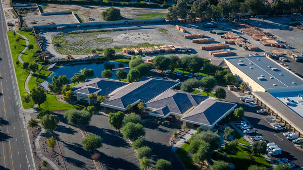
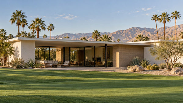
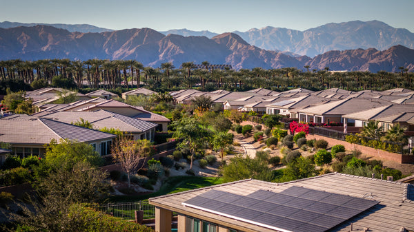
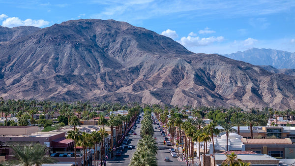
Cathedral City today extends far beyond its first townsite. My photograph shows one later residential setting, with a different street layout and relationship between homes, landscaping and open space. It is a reminder that a city contains developments from different periods, rather than one plan repeated everywhere.
Read the older highway corridor as a route that supported commerce. Read the residential areas as places shaped by successive waves of housing. Then separate those physical layers from the later decision to incorporate. They are connected, but they are not interchangeable.
For present-day neighborhood context, continue to the Cathedral City home buying and relocation guide. To follow the road beyond the city, explore the history of Highway 111.
Frequently asked questions
Was Cathedral City founded in 1925 or 1981?
The dates refer to different events. The subdivision effort began in 1925, lots were offered in 1927, and Cathedral City incorporated as a municipality on November 16, 1981.
Why is it called Cathedral City?
The town took its name from Cathedral Canyon. Local tradition links that canyon name with rock formations resembling a cathedral; the Historical Society identifies the name on the 1904 USGS Indio Special map.
What was Broadway in early Cathedral City?
Broadway was the local name for the main highway through the developing town. Today that corridor is associated with Highway 111 and East Palm Canyon Drive.
Who organized the original subdivision?
The Historical Society names Glen Plumley, George Allen, Jack Grove and M. V. Van Fleet. The city’s account uses John Grove and Glenn Plumley. Both accounts identify the same four-person development group.
Did incorporation begin the community’s history?
No. An established community preceded municipal incorporation by decades, and Cahuilla history extends much further back. Incorporation created the city government rather than the first human presence or first neighborhood.
Sources and visual notes
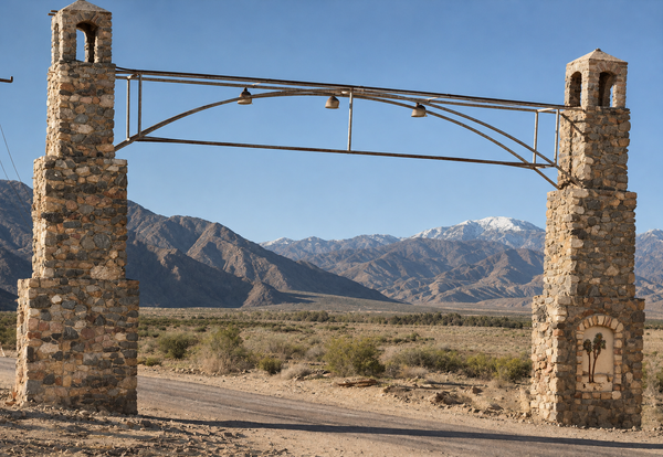
Sources reviewed November 8, 2026. The source historic photographs are courtesy of the Cathedral City Historical Society, whose website permits image reuse with credit. The displayed arch and canyon images were colorized and enhanced using AI while retaining the source viewpoints and compositions. Color, texture and fine detail are interpretive reconstructions, not verified historical information. The Society’s permission statement does not specifically address AI alterations; these adaptations are credited to the source and identified as altered. The arch photograph has no date specified here; the canyon view is identified as April 1926. The contemporary aerial is by Mark Miller. The timeline illustration is original and schematic, not a historical map. Original arch photograph · Original canyon photograph.
- Agua Caliente Band of Cahuilla Indians — History. Tribal continuity and reservation geography.
- Cathedral City Historical Society — Stories of People & Places. Bob Hillery’s subdivision account, early street names and the distinction between canyon-name tradition and a 1904 map reference. The Society permits reuse of its images with credit.
- Cathedral City Historical Society — Before the City. April 1926 canyon photograph, water improvements and January 1, 1927 lot offering.
- City of Cathedral City — Historical planning account. Subdivision form, affordability, highway development, World War II and postwar residential growth. Historical text reviewed through indexed municipal document excerpts.
- Cathedral City Historical Society — The Hub of Gay Bars. LGBTQ gathering places and historical accounts of community life and harassment.
- City of Cathedral City — Ordinance No. 0002, November 16, 1981. Dated municipal record; incorporation date also stated in the City’s professional-services RFP introduction.
- Cathedral City Historical Society — 70s & 80s and Beyond. Incorporation and local municipal services.


