









IID and the Salton Sea: How Their Histories Connect
How farm drainage, federal land orders and water-transfer obligations connect IID to the Sea.

IID’s connection to the Salton Sea is a story of drainage and responsibility. Water delivered to Imperial Valley farms also feeds a network of drains leading toward the lake. Federal land orders and later water-transfer decisions made that physical connection an institutional one.
The modern Sea formed in 1905–1907, before IID was established in 1911. [1, 2] For those origins, read the lake’s history and IID’s founding story. Here, the focus is the district’s role after the lake already existed.
- Drainage is central: IID’s network carries water away from farmland toward the Alamo River, New River or the Sea.
- 1924 and 1928: federal reserve orders recognized public lands at the Sea as a drainage reservoir.
- Water transfers brought obligations: IID’s conservation and mitigation work connects farm-water decisions with the lake.
- Responsibility is shared: IID’s role differs from the state’s broader restoration program.
1924: the lake becomes a federal drainage reserve
An easily overlooked document makes the institutional connection explicit. Public Water Reserve No. 90, signed by President Calvin Coolidge on March 10, 1924, reserved public lands for a drainage reservoir at the Salton Sea. A second reserve order followed in 1928. [4] [5]
This is the historical pivot: the Sea was no longer simply water left behind by a runaway river. Its place in the farming landscape was being formally recognized.
Canals deliver water; drains carry it away
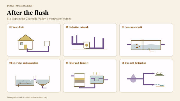
A productive field needs both delivery and drainage. IID’s drains collect excess surface irrigation water, subsurface tile drainage and operational discharges. The network leads toward the Alamo River, the New River or directly to the Sea. [6]
Drainage also helps manage water and salts around crop roots. IID identifies the Colorado River as Imperial Valley’s surface-water supply; water is delivered to farms, while drainage ultimately reaches the Salton Sea. The Sea is downstream of the farms, not their irrigation reservoir. [7]
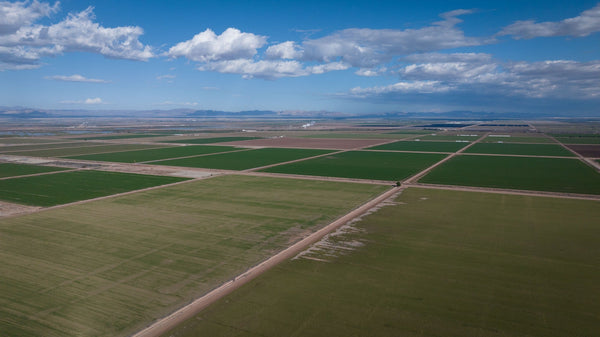
That is why a photograph of green fields near the lake contains more of its story than it first appears to. Our Imperial Valley agriculture guide explores what grows there.
Water transfers brought mitigation obligations
The 2003 Quantification Settlement Agreement connected IID’s conservation and water transfers with measures addressing effects at the Sea, including temporary mitigation-water deliveries that ended in 2017. [8, 9] The important institutional point is that IID’s role extends beyond delivering farm water. For the effects on inflow and lake level, continue to why the Salton Sea is shrinking.
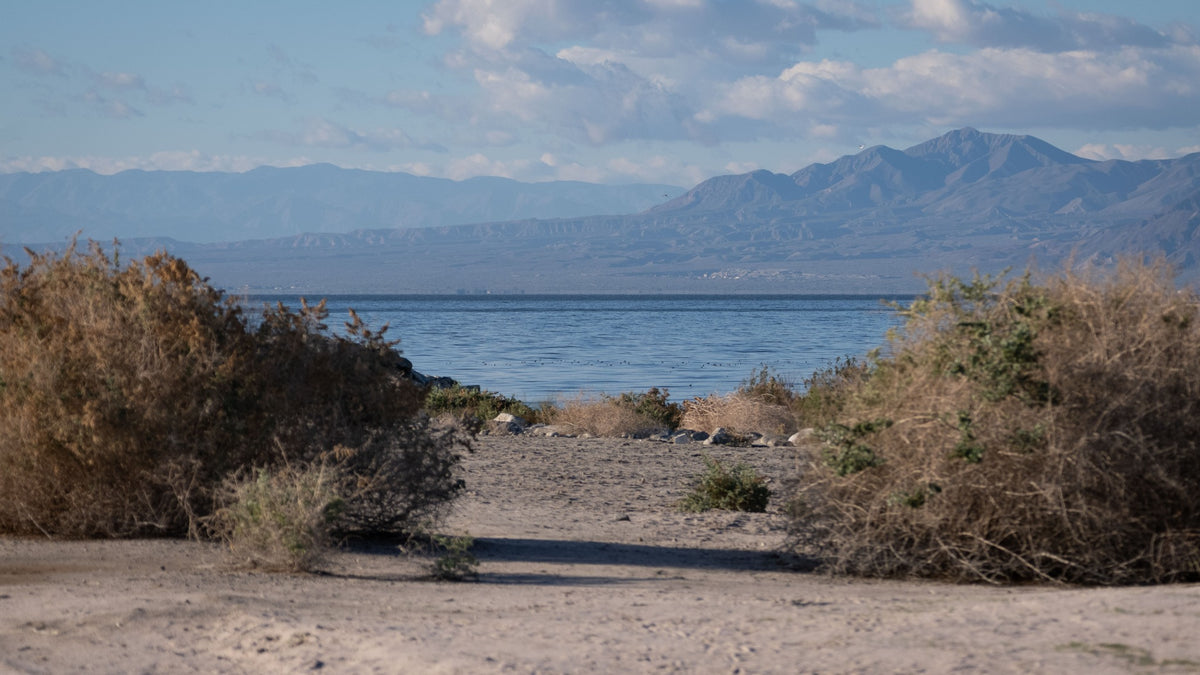
Who is responsible for what?
IID is a major participant, but the Sea is not managed by one agency. Its role includes irrigation delivery, land ownership and transfer-related mitigation. State agencies lead the broader restoration program, while Tribal governments, local agencies and federal partners have additional roles. [8]
IID petitioned the State Water Board in 2014 to change the transfer order. In 2017, the board added restoration milestones addressing public-health and environmental concerns. That sequence shows IID participating in the push for state action, alongside its own obligations. [10]
For present-day habitat and dust-control work, continue to what Salton Sea restoration means.
The distinction is useful when reading a Salton Sea announcement: an IID irrigation or mitigation action, a State Water Board requirement and a state restoration project are related, but they describe different responsibilities. The project’s named lead agency and its actual obligations matter more than treating “the Salton Sea” as one organization’s assignment.
Frequently asked questions
What does IID’s drainage network do?
It collects excess surface irrigation water, subsurface tile drainage and operational discharges, leading toward the Alamo River, New River or directly to the Salton Sea.
What did the 1924 federal reserve order change?
It reserved public lands at the Salton Sea for storing drainage from irrigated land. It recognized a drainage use of the existing lake; it did not create the lake.
Is restoring the Sea solely IID’s responsibility?
No. IID has irrigation and mitigation responsibilities, while the state leads the broader restoration program. Tribal governments, other local agencies and federal partners also have roles.
Why does IID’s 2014 petition matter?
IID asked the State Water Board to change the water-transfer order. The board added restoration milestones in 2017, showing the connection between transfer obligations and demands for state action.
Where can I read about the shrinking lake itself?
The separate Salton Sea water-balance guide explains inflows, evaporation, conservation and the end of temporary mitigation deliveries. This article focuses on IID’s institutional role.
Sources and photo notes
Researched November 9, 2026. Historical sources retain their original dates. The article follows the relationship between IID, irrigation drainage and the Sea.
- IID — IID History — Formation, predecessor system and acquisition chronology.
- Bureau of Reclamation — All-American Canal System — Flood closure and canal chronology.
- IID — Salton Sea — Terminal-basin setting and the principal return-flow sources; dated projections on that page are not presented here as current measurements.
- Public Water Reserve No. 90 — 1924 federal record — Historical document in the State Water Board’s IID hearing archive.
- Regional Water Quality Control Board — Salton Sea Watershed Staff Report — 1924 and 1928 public-water-reserve orders.
- IID — Drainage — Field drainage types and discharge pathways.
- IID — Water Supply — Colorado River deliveries and tile drainage.
- Legislative Analyst’s Office — Salton Sea Management Program — February 26, 2024; historical QSA context and agency roles, not current project totals.
- San Diego County Water Authority — Colorado River — QSA mitigation and the 2003–2017 mitigation-water period.
- State Water Resources Control Board — Salton Sea — 2014 IID petition and the November 2017 stipulated order.
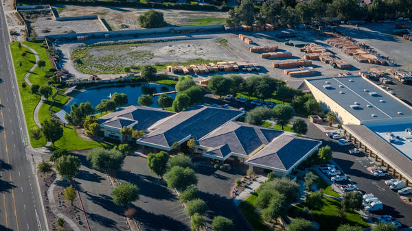
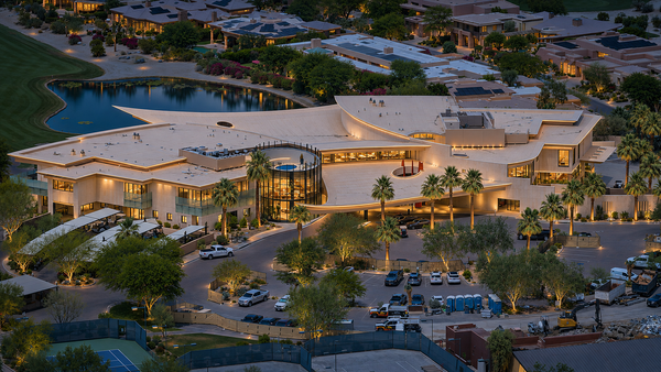
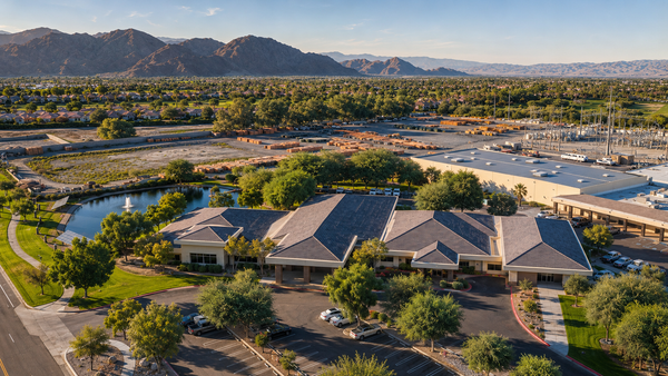
Photographs are reused from Mark Miller’s existing DOI photo archive and IID campus gallery. The 1924 quotation is transcribed from the federal record linked above.


