



















The Cahuilla Homeland Above the Coachella Valley
Four Mountain Cahuilla communities, the connections across elevations, and a homeland that continues today.

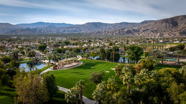
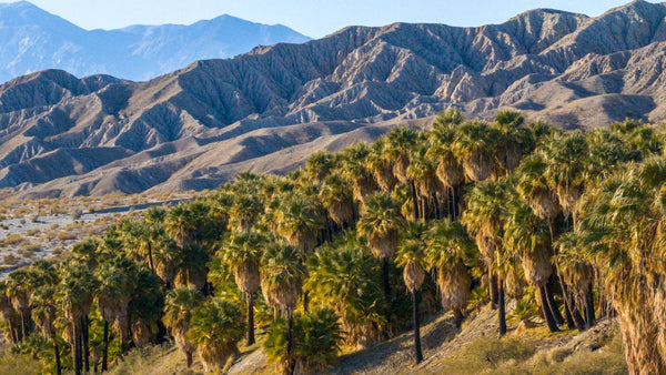
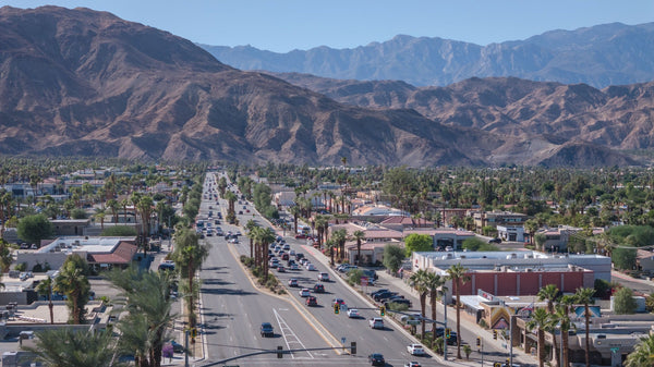
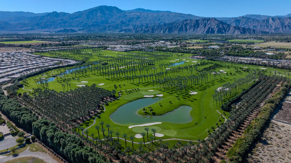
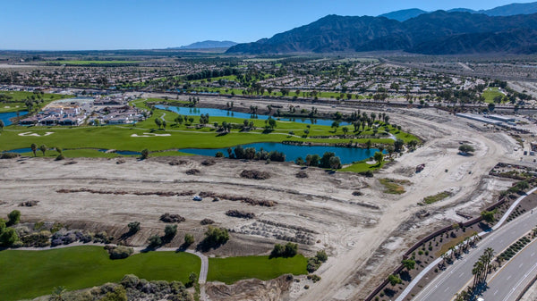
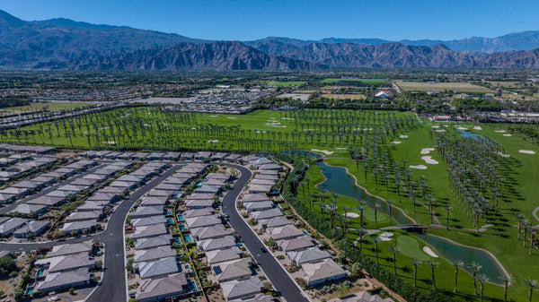
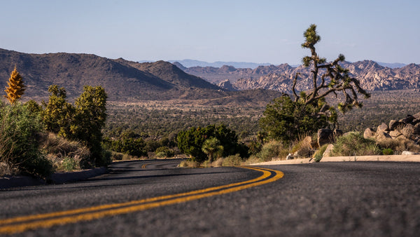
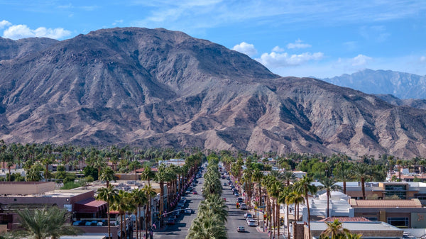
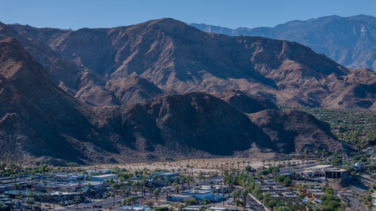
From the Coachella Valley, the mountains can look like the edge of the world: a wall behind the neighborhood, a silhouette beyond the palms, the last light on a ridge. Drive into them and the view opens into another landscape of slopes, forests and inhabited valleys.
Those mountains are also homeland. This story begins with the Santa Rosa Band’s publicly shared history, then introduces four distinct Mountain Cahuilla communities. The question is simple: what changes when we look beyond the scenery and learn who belongs to these places?
- Four distinct Mountain Cahuilla communities connect this story: Santa Rosa, Cahuilla, Ramona and Los Coyotes.
- The Santa Rosa Band’s public history describes seasonal connections between lower canyons and higher country.
- Today’s reservation boundaries, ancestral homelands and public access are different questions.
Look beyond the skyline
The view from the valley shows only one face of the mountain country. A distant ridge can conceal the communities, working landscapes and relationships on the other side. That is one reason a guide to peaks and elevations can be accurate yet still leave out something essential.
Our visual guide to the surrounding mountains helps identify the ranges. Here, the aim is different: to place people and continuing communities within that familiar view.
What does Mountain Cahuilla mean?
The Santa Rosa Band identifies four Mountain Cahuilla communities: Santa Rosa, Cahuilla, Ramona, and Los Coyotes. The Cahuilla Band’s cultural account places Mountain Cahuilla within the wider Cahuilla people, alongside Desert and Pass Cahuilla. These broad associations do not make the four communities one government. Each needs to be understood through its own history and public voice. [1] [5]
The distinction matters when writing about a homeland. A general label can help a reader get oriented. It cannot tell us who has authority to speak for a particular community, share a particular story or decide how a place should be used.
Follow the change in elevation
One landscape, different elevations
Explore the seasonal contrast described in the Santa Rosa Band’s public history.
Conceptual elevation diagram. Not to scale; no travel route or territorial boundary is shown.
Winter: lower desert canyons
The Santa Rosa Band describes its ancestral clans occupying lower canyons during winter. Elevation was part of a seasonal pattern of life.
Summer: cooler elevations
Its account describes movement toward Toro Peak and the place now called Old Santa Rosa during the hot summer months. This is a particular community’s history, not a timetable for every Cahuilla family.
It is tempting to imagine the mountains as a refuge from the desert and stop there. The more useful idea is connection. A change in elevation need not mean leaving one world for another; it can be movement within a known landscape. The seasonal account above helps us read the slopes as part of a lived place.
Meet four distinct communities
Open each community’s section for its geographic setting, a historical connection and a glimpse of its continuing work. These are introductions based on public sources, not complete community histories.
Santa Rosa mountain countrySanta Rosa Band of Cahuilla Indians
Connections to place
The Band traces its members to three clans connected with Toro Peak, Garner Valley, Coyote Canyon, Pinion and today’s reservation. Read those names as a network of belonging, rather than a list of sightseeing stops. [1]
A continuing community
The Band describes an Environmental Department dedicated to the resources that sustain reservation life. At Toro Peak, Tribal land also supports communications facilities used by public agencies and others. Cultural connection and contemporary infrastructure occupy the same mountain. [2] [3]
Read the community’s public informationAnza and surrounding mountain countryCahuilla Band of Indians
Connections to place
Based in Anza, the Cahuilla Band describes ancestral connections across the San Jacinto and Santa Rosa Mountains. Its history page identifies the Tribe as a sovereign nation, with its own government and responsibilities to its members. [4]
A continuing community
The Band’s public account includes cultural preservation, education, health services and natural-resource protection. This is a community making decisions in the present, not simply an example from a history book. [4]
Read the community’s public informationAnza area · base of Thomas MountainRamona Band of Cahuilla
Connections to place
The Ramona Band’s history connects its members to the Apapatchem clan and identifies an 1893 reservation establishment. Its present-day community lies at the base of Thomas Mountain. The reservation date marks a legal milestone, not the beginning of the people’s connection with the area. [6] [7]
A continuing community
The Tribe describes developing its reservation off-grid, using renewable energy. Its Environmental Department works on land protection and partnerships. Its history also emphasizes safeguarding cultural places both on and off the reservation. [6] [7] [8]
Read the community’s public informationWarner Springs and nearby high countryLos Coyotes Band of Cahuilla and Cupeño Indians
Connections to place
Both Cahuilla and Cupeño are part of the Band’s name and identity. The Southern California Tribal Chairmen’s Association places the reservation in the hills east of Mount Palomar, between the Cleveland National Forest and Anza-Borrego Desert State Park. [9]
A continuing community
The Band’s visitor website explicitly places hiking and camping access under Tribal authority. Where a Tribe welcomes visitors, that welcome comes with its own rules and permissions. Consult the Tribe’s current information before making plans. [10]
Read the community’s public informationOrient yourself without drawing a boundary
Start with the Santa Rosa and San Jacinto mountain country west and southwest of the valley, then widen your view toward Anza and Warner Springs. Names familiar from road signs describe only part of the landscape.
For the places closest to this story, start with the Santa Rosa Mountains and San Jacinto Mountains, then locate Toro Peak, Thomas Mountain Cahuilla Mountain, and Martinez Mountain. The Forest Service describes Cahuilla Mountain’s upper slopes as a research natural area with Coulter pine and California black oak. These markers identify landscapes, not Tribal headquarters or public entrances.
Use DOI’s regional landform map for physical orientation. Its place markers are navigation aids, not a map of ancestral territory, reservation ownership or permission to enter land.
Open the mountain and landform map
Homeland is larger than a reservation date
The Los Coyotes background published by the Tribal Chairmen’s Association records reservation land actions in 1889, 1900 and 1914. The Ramona Band identifies its reservation’s establishment in 1893. These dates belong to the history of legal land arrangements; they should not be mistaken for dates when people first belonged to the mountains. [9] [6]
The Cahuilla Band’s cultural account describes the loss of land and changes imposed through colonization, alongside the continuation of cultural practices. A present-day map is therefore not a neutral summary of everything that came before it. [5]
Keep two questions separate: “What land boundary is shown here?” and “What relationships connect people to this place?” One concerns a mapped legal extent. The other can involve family, language, memory and responsibilities that a single outline cannot explain.
A better way to approach the mountains
Begin with information a community has chosen to make public. Name the particular nation when discussing its history, rather than attributing every account to all Cahuilla people. When a public source leaves something unexplained, leave room for that limit instead of filling it with an imagined ceremony or an invented quotation.
For a visit, use the relevant land manager’s current directions and the Tribe’s own access information. A trail on an app, a photograph on the internet or a familiar road name does not establish permission. Los Coyotes offers one example of a Tribe setting the terms for public recreation on its land. [10]
For a person-centered continuation, read Katherine Siva Saubel’s story. For the wider context, return to Who Are the Cahuilla?
The next time the mountains catch the evening light, the view can hold more than a beautiful horizon. It can remind us to ask whose place we are looking at, which community’s account we are learning from, and what continues beyond the edge of our view.
Questions about the mountain homeland
Which communities are introduced here?
The Santa Rosa Band of Cahuilla Indians, Cahuilla Band of Indians, Ramona Band of Cahuilla, and Los Coyotes Band of Cahuilla and Cupeño Indians. Each has its own identity and government.
Is Mountain Cahuilla the name of one government?
No. It is a broad cultural and geographic association. It should not replace the name of a particular Tribal nation.
Is the mountain map a Tribal boundary map?
No. DOI’s map helps orient readers to the mountain region. Its markers do not define ancestral homelands, legal property boundaries or public access.
Can I visit any of the places named in the article?
Do not assume so. Follow the Tribe’s own visitor information and the relevant land manager’s rules. Publicly naming a place does not grant permission to enter it.
Are these communities only part of the past?
No. Their public information describes continuing government, community services, environmental work and cultural life. Historical context should be read alongside that present-day presence.
Sources and further reading
Sources reviewed November 1, 2026. This article draws on publicly shared Tribal information and the Southern California Tribal Chairmen’s Association. It does not claim to speak for a Tribal nation or disclose private cultural knowledge. Photographs by Mark Miller.
- Santa Rosa Band of Cahuilla Indians — Culture
Community identification, ancestral connections and the Band’s account of seasonal movement. No population figures or disputed band totals reproduced.
- Santa Rosa Band — Tribal Government
Environmental Department and continuing care of land and resources.
- Santa Rosa Band — Economic Development
Present-day communications infrastructure at Toro Peak.
- Cahuilla Band of Indians — History
The Band’s account of homeland, sovereignty, cultural continuity and community services.
- Cahuilla Band of Indians — Culture
Mountain Cahuilla context and the effects of colonization.
- Ramona Band of Cahuilla — History
1893 reservation establishment, clan ancestry and protection of cultural places. The page’s Lake Cahuilla chronology is not used here.
- Ramona Band of Cahuilla — Home
Location at the base of Thomas Mountain and the Tribe’s account of off-grid development.
- Ramona Band of Cahuilla — EPA Department
Tribal environmental work and partnerships.
- Southern California Tribal Chairmen’s Association — Los Coyotes
Cahuilla and Cupeño identity, regional setting and reservation history. A tribal association source; some background derives from a 1996 reference work, so current officers and operational details are omitted.
- Los Coyotes Band of Cahuilla and Cupeño Indians — Visitor website
Tribal authority over public hiking and camping access; consult the Tribe for current conditions and permissions.
- US Forest Service — Cahuilla Mountain Research Natural Area
Mountain setting, ecological context and representative location.


