










Highway 111: The Road That Shaped the Coachella Valley
How roadside businesses, postwar growth and local choices gave one road many different identities.

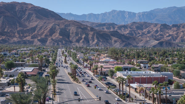
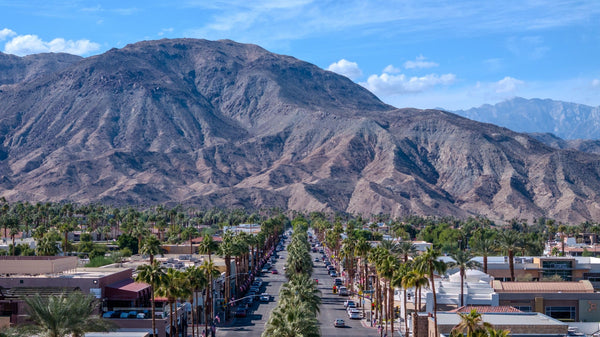
Drive Highway 111 through the Coachella Valley and the road keeps changing character. A downtown street becomes a shopping corridor. Storefronts give way to resort entrances, landscaped setbacks and mountain views. The pavement connects the cities, but it also reveals the different choices that made them.
For much of the twentieth century, a place beside the highway offered something valuable: a chance to be seen by people passing through. A motorist could become a restaurant customer, a hotel guest or a buyer of desert land. That simple exchange helped turn a regional road into a string of business districts.
This is the story of that relationship between road and town. For the interactive route map, stops and travel information, use our complete Highway 111 guide.
- The road linked places with different origins. Railroad towns, resort communities and postwar developments did not all follow the same path.
- Frontage became an economic opportunity. Passing motorists supported motels, cafés, shops and new business districts.
- Local choices changed the result. Cathedral City, Palm Desert and Indian Wells reveal three different roadside histories.
- The guide and the history serve different needs. Use the Highway 111 hub for maps, stops and trip planning.
Before the number, a connected landscape
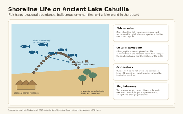
The highway did not enter an uninhabited landscape. Cahuilla communities had long maintained relationships with water sources, villages and routes across the valley and mountains. Later wagon roads and the railroad added other ways of moving through the region. Modern pavement belonged to a much longer history of connection.
Nor did every town begin with automobiles. Indio and the settlement that became Coachella grew around the railroad. Palm Springs developed around its hot springs and an emerging visitor economy. Highway 111 connected places with distinct beginnings; it did not create all of them from scratch.
The route number arrived in 1934, when California introduced its system of signed state highways. The contemporary route list described 111 running from Brawley to Whitewater by way of Mecca, Indio and Palm Springs. That original description is a useful reminder: the road's history extends beyond today's familiar shopping corridor.
A route number made a journey easier to follow. The deeper change came when reliable automobile access made the journey commercially useful.
When passing traffic became an address
A railroad concentrated activity around a station, freight platform or siding. A highway offered a different pattern. Businesses could stretch along the road, each with its own entrance, sign and place to park.
That distinction helps explain the long commercial strips still visible in the valley. A business did not always need a position on a traditional courthouse square or beside the depot. It needed a position in the driver's field of view, and a reason for that driver to stop.
Motels suited this geography. So did service stations, roadside restaurants and shops selling the promise of desert living. The highway became both transportation and display space: a working road that also introduced visitors to the place around it.
This did not produce one uniform kind of town. Existing settlements, land ownership, local ambitions and later planning decisions all shaped what grew beside the pavement. Three stretches make those differences especially clear.
One Road, Three City Choices
Choose a city to see a different relationship between the highway and the place beside it.
These are selected development patterns, not a complete account of each city. The full sections and sources below provide the historical context.
Cathedral City: a main street beside the highway
Cathedral City's early commercial corridor shows how quickly roadside activity could become a recognizable town center. The city's historic context study identifies the 1927 improvement of the road now known as Highway 111 as an important part of its early development. Locally, the street was known as Broadway.
Historic photographs assembled by the Cathedral City Historical Society let readers follow that change. A 1931 view identifies a grocery and post office. By 1946, more buildings filled the roadside. A 1951 view shows a four-lane street with curbs, sidewalks and landscaping, accompanied by the small businesses that served residents and travelers.
Those photographs are more than records of traffic engineering. Read together, they show a place acquiring the everyday functions of a town. People could buy supplies, collect mail, eat and find a room along the same corridor used by passing motorists.
Broadway also belonged to the valley's entertainment economy. The Dunes Club adds another chapter to that roadside world. But a history of the highway should leave room for ordinary businesses, too. Groceries and cafés made a settlement work between the memorable nights out.
Palm Desert: the highway and a second shopping street
Palm Desert's postwar beginnings illustrate a different relationship between development and the road. The city's General Plan history identifies a post office in 1947 and the Desert Magazine building in 1948 among the early community anchors. The magazine building combined publishing with visitor-facing uses, including an art gallery, gem shop and bookstore.
In that setting, the highway did more than deliver customers. It gave a new desert community an accessible public face. People traveling through could encounter businesses and institutions that made Palm Desert feel like a place rather than a name on a subdivision plan.
The city's planning history also describes the early development pattern: activity north of Highway 111 in the 1940s and 1950s, followed by growth south toward El Paseo in the 1960s and 1970s, and later commercial expansion toward Monterey Avenue.
That sequence helps explain why Highway 111 and El Paseo sit so close together yet feel different. One belongs to the regional movement of people and vehicles. The other developed as a destination where shopping itself could organize the visit. Their proximity is part of Palm Desert's story, not an accident to be explained away.
Our Palm Desert origin story follows the larger community-building effort. The history of El Paseo follows the shopping boulevard in detail.
Indian Wells: deciding what the roadside should become
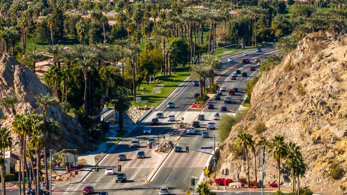
Indian Wells offers an especially clear example of local choice. A heavily traveled highway could encourage continuous commercial frontage, but the city pursued a different character for its corridor.
Planning and design firm Johnson Fain describes its Highway 111 work for the city, completed between 1988 and 1991, as a response to that question. The project covered approximately 446 acres along 3.5 miles. Rather than accept the strip-commercial development encouraged by earlier zoning, the city sought a landscape and land-use framework emphasizing residential, resort, community and open-space uses.
The decision was contested. The firm's project account describes landowner lawsuits following the zoning change. The specific plan helped translate the city's preferred identity into rules and a physical design for the corridor.
Even the planting expressed different surroundings: formal date palms associated with hotel and golf settings on the north side, and a more informal treatment beside residential areas to the south.
The historical point is larger than landscaping. Traffic alone did not decide what Highway 111 would look like. Local government, property owners and designers argued over what passing motorists should encounter—and what kind of city residents wanted beside the road.
The freeway changed the balance
Highway frontage was influential, but it was never the valley's only source of growth. Palm Desert's General Plan history identifies completion of Interstate 10 in the 1960s as a change that helped direct development northward. Access to a faster regional route opened another set of opportunities for housing, commerce and other uses.
The two roads offered different relationships with the valley. A freeway could move a traveler past a city quickly, connecting it through interchanges. Highway 111 continued to meet the city at street level, with intersections, entrances and businesses along the way.
That distinction helps explain why the older corridor remained important as the valley expanded. It was embedded in the places people already visited. Its slower pace could frustrate someone crossing the valley while supporting the visibility and access of businesses beside it. The same road was being asked to serve different needs.
A road number, and a local identity
Over time, portions of the corridor passed from state to local control. California's 2010 legislation records relinquished former Route 111 segments in several valley cities. Such changes concern who is responsible for a road; they do not instantly erase the address, habits and identity built around it.
Palm Springs offers another way to see that distinction. Palm Canyon Drive's identity cannot be reduced to a highway designation. The Palm Springs Preservation Foundation documents Ruth Hardy's 1949 palm-planting initiative, which helped give the downtown street its recognizable allée. A road could carry regional traffic and still become a carefully cultivated image of a city.
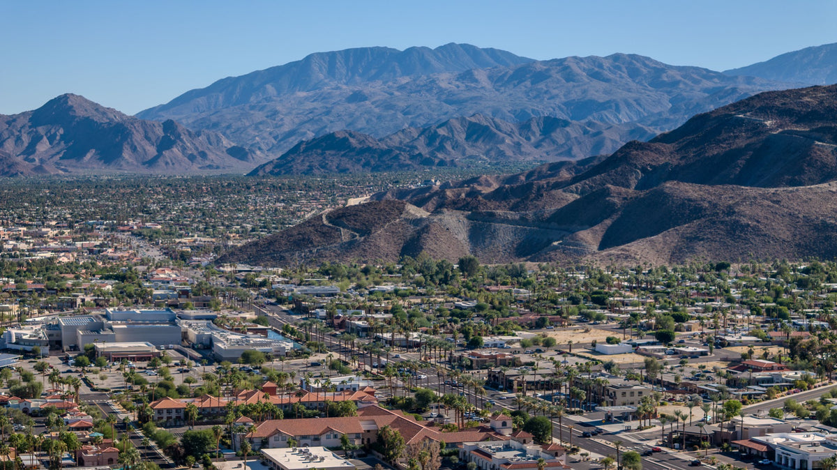
Look at Highway 111 today and those layers remain legible: the roadside business district, the postwar community entrance, the parallel shopping boulevard, the resort landscape. Some stretches invite a quick errand; others frame an arrival. Together, they record decades of decisions about movement, commerce and belonging.
The road shaped the valley because it brought people past places where something could happen. The cities shaped the road by deciding what that encounter should be.
Explore the Highway 111 map and destination guide to connect this history with the corridor on the ground.
Highway 111 history questions
Did Highway 111 create the Coachella Valley’s cities?
No. Cahuilla communities long predate the highway, and towns such as Indio and Coachella developed around the railroad. Highway access later influenced commerce, development and connections between communities.
When did Highway 111 receive its route number?
California introduced signed state route numbers in 1934. The contemporary list described Route 111 between Brawley and Whitewater via Mecca, Indio and Palm Springs. Road alignments and responsibilities changed over time.
Why are so many businesses located along Highway 111?
Road frontage gave businesses visibility and direct access to passing motorists. Over time, motels, restaurants, shops and other uses helped form linear business districts. Local planning decisions shaped how that pattern developed in each city.
Why does Highway 111 look different in Indian Wells?
The city pursued a corridor plan emphasizing landscaped residential, resort, community and open-space uses rather than continuous strip-commercial development. Johnson Fain documents the planning work completed between 1988 and 1991.
Where can I find the route map and places to stop?
Our Highway 111 guide contains the interactive map, destination directory, trip ideas and practical travel resources. This article concentrates on the road’s influence on local history.
Sources and historical notes
Sources consulted November 2, 2026. The discussion of frontage and city identity is an interpretation of the documented development patterns, not a claim that the highway alone caused growth.
- California Department of Transportation — Caltrans History: 1930s. State highway sign numbering introduced in 1934.
- California Highways and Public Works, August 1934 — State route list, reproduced by GBCNET. Contemporary description of Route 111; archival transcription.
- City of Cathedral City — Historic context study. Early road improvements and Broadway commercial development.
- Cathedral City Historical Society — Then and Now. Dated streetscape photographs from 1931, 1946 and 1951.
- City of Palm Desert — General Plan. Historical background on early anchors, commercial growth and Interstate 10.
- Johnson Fain — Highway 111, Indian Wells. Project account of the 1988–1991 corridor plan and its land-use approach.
- California Legislature — SB 1318, chaptered September 29, 2010. Historical record of relinquished Route 111 segments.
- Palm Springs Preservation Foundation — Palm Canyon Drive Palm Allée. Ruth Hardy and the 1949 planting initiative.