Barker Dam: Why Cattle Ranchers Built a Reservoir in Joshua Tree
Storm runoff, cattle and the Keys family: the working history behind a familiar Joshua Tree trail.

A wall of stone and concrete closes a gap between Joshua Tree’s boulders. Behind it, the basin may hold reflected sky—or almost no water at all. Either view leads to the same question: why build a reservoir here?
The answer begins with cattle. Barker Dam was a way to hold onto water after a desert storm, extending the usefulness of rainfall beyond the brief hours when it flowed. Its history connects the landscape’s natural channels with the work of ranchers, including the Keys family.
- Built for cattle. The reservoir stored storm runoff in a landscape where water limited grazing.
- Expanded over time. Barker’s original dam was later enlarged by Bill Keys.
- A full basin is never guaranteed. Rainfall and dry periods change what visitors see.
- Look from the trail. The dam and nearby rock art are protected cultural resources.
Before the dam, a landscape shaped by water
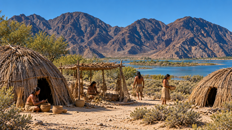
Barker Dam lies in Joshua Tree National Park’s Mojave Desert landscape. The park encompasses traditional homelands of Serrano, Chemehuevi and Cahuilla peoples, and traditional use areas of the Mohave. Ranching is one chapter in a much longer human history here. Cattlemen did not arrive in an unoccupied desert. [6]
The dam occupies a place where surrounding rock directs storm runoff into a basin. Its builders worked with that shape: a barrier across the outlet could retain water that otherwise continued downstream. This is the essential idea of a catchment reservoir. It stores water delivered by a storm; it does not create a new supply.
Cattle needed more than open ground
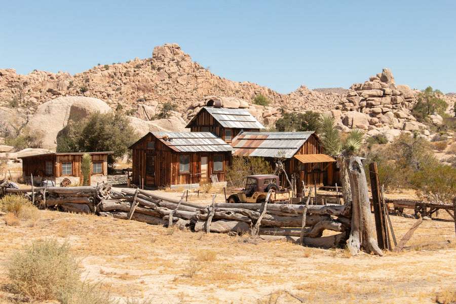
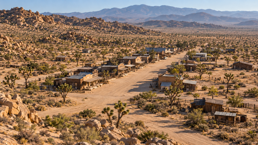
The National Park Service places cattle grazing in what is now the park from the 1870s through 1945. Ranchers moved animals seasonally in search of forage and water, developing springs, wells and rainwater impoundments along the way. These impoundments were often called “tanks”—a term that could mean a reservoir rather than a metal container. [2]
Imagine the decisions behind moving a herd. Grass alone is not enough if the animals cannot reach water. A useful water source changes which ground can be grazed and for how long. Barker Dam belongs to that practical geography: the relationship between drinking water, available forage and the distance between them.
It also connects with the everyday work at Keys Ranch. Water storage, livestock and repairs were parts of the same working landscape, even though visitors now encounter them as separate historic stops.
Who built Barker Dam—and when?
The 1975 National Register nomination credits cattleman C. O. Barker with constructing a stone-faced cement dam in 1900. It describes sixteen trips of eight days each to bring cement, forms and equipment from Banning. That account makes the effort tangible: the finished wall depended on a long supply route as well as local stone. [1]
The early date is not consistent across NPS records. The later cultural-landscape summary places the first Barker Dam around 1902, while a 2015 NPS restoration release attributes its construction to the Barker and Shay cattle company in 1902. Rather than disguise that disagreement, this article treats the original work as dating to the turn of the twentieth century. [3] [4]
William “Bill” Keys later increased the dam’s height and storage capacity. The nomination describes an original nine-foot structure with a three-foot concrete addition; the later restoration account notes several Keys additions. The wall therefore represents work accumulated over time, rather than a single untouched construction project. [1] [4]
Try it: turn rainfall into stored water
Add a shower, follow it with more rain, or let a dry period pass. Watch runoff reach the basin and see why a reservoir can remain useful after a storm—but cannot stay full indefinitely.
Read the wall as a working object
The contrast between the stone-faced lower wall and later concrete work helps tell the story of adaptation. Instead of replacing the entire structure, later builders enlarged what was already there. A higher barrier could retain more runoff when the basin received enough water.
The 1975 nomination also records a pipe-fed watering feature below the dam. Its interpretation of the two circular compartments distinguishes water for people from an outer area for stock. That is a historical description, not a statement about present drinking-water quality or a recommendation to approach the structure. [1]
For a photograph, the broader setting matters as much as the wall. Include the rock that encloses the basin, the line where water meets land, or the empty ground a reservoir would cover. Those relationships explain the dam’s purpose more clearly than an isolated close-up. When water is absent, the shape of the basin becomes part of the story.
From livestock water to a wildlife gathering place
Today the reservoir’s changing water supply contributes to a different kind of activity. NPS describes freshwater-associated vegetation along the loop, including willows and mule-fat near water, amid surrounding desert plant communities. This is a small landscape of contrasts: wet ground and dry slopes, temporary surface water and much longer periods of scarcity. [7]
Birds, reptiles and desert bighorn sheep may use the area, but a visit is not a promise of sightings. Nor is a photograph of a full reservoir evidence that it will be full on your trip. The NPS trailhead page says the basin occasionally fills after heavy rainfall and is typically dry for much of the year. [5] [8]
Watch from the trail and give animals room to approach or leave. The water is part of their habitat, not a backdrop that needs to be occupied to make a photograph.
Why the dam needs protection
In 2015, NPS reported a conservation project addressing scratched graffiti on the dam. Conservators used carefully matched mineral-based paint to reduce the visual damage. It was painstaking repair to a historic surface, not an invitation to add another name. [4]
The park’s published rules close the barrier itself to public entry. Stay on the trail on the trail-facing side; the closure otherwise extends ten feet around the structure. Swimming, wading and bathing are prohibited in park water sources, including Barker Dam. The site is also within a designated day-use area. [9]
Plan a visit around the landscape, not a guaranteed lake
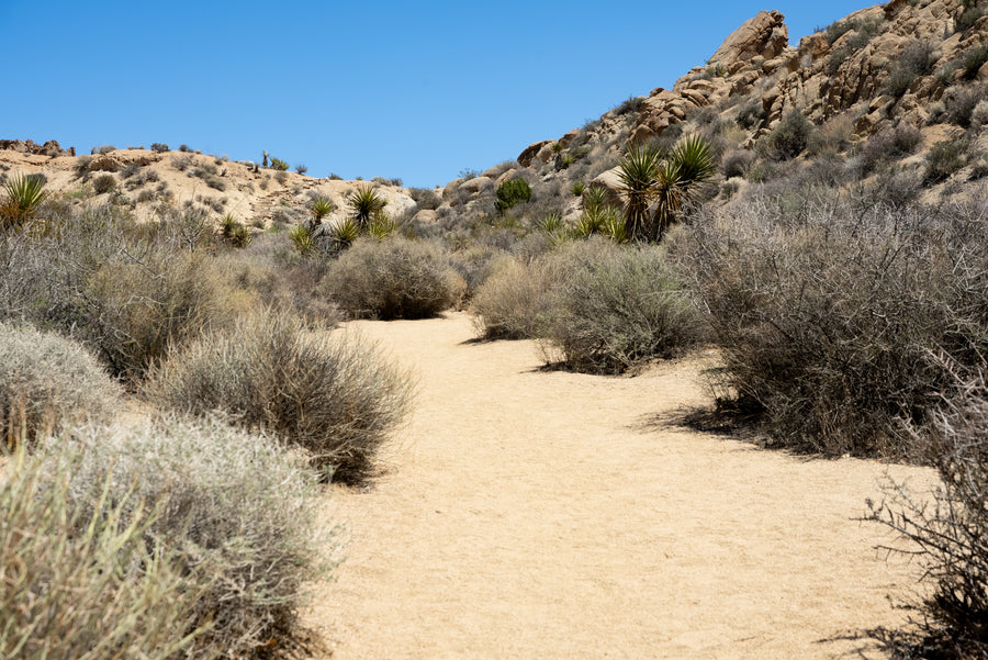
NPS lists the Barker Dam loop as 1.1 miles, with about 50 feet of elevation gain and a typical walking time of 30–45 minutes. Photography and observation can take longer. The route includes sand, uneven rock and steps; it is not wheelchair accessible. Pets are not allowed, apart from service animals under park rules. [5]
Carry your own drinking water, prepare for limited shade and check current NPS conditions before leaving. View the trail’s rock art from the designated viewing area without touching or climbing on its rock formation. [5]
Unlike the reserved guided visit at Keys Ranch, Barker Dam is reached on a public trail when open. Leave room in your plans to explore the boulders and plants even if the basin is dry. The best reason to walk here is to understand how this particular piece of desert worked.
Barker Dam questions, answered
Why was Barker Dam built?
It was built to retain storm runoff for cattle. Ranchers used water impoundments, wells and springs to support grazing in the desert.
Was Barker Dam built in 1900 or 1902?
NPS sources differ. The 1975 National Register nomination gives 1900, while later NPS accounts give around 1902 or 1902. The article identifies that discrepancy rather than treating one year as undisputed.
Does Barker Dam always have water?
No. The NPS trailhead page says the reservoir occasionally fills after heavy rainfall and is typically dry for much of the year. This page does not report a live water level.
How long is the Barker Dam hike?
NPS lists the loop as 1.1 miles with about 50 feet of elevation gain and a typical walking time of 30–45 minutes. Uneven rock, steps and sand affect accessibility; pets are not allowed apart from service animals under park rules.
Can you climb on Barker Dam or swim in the reservoir?
No. The barrier is closed to public entry, and swimming, wading and bathing are prohibited. Stay on the designated trail and follow current park signs and restrictions.
Sources, historical dates & photograph credits
- Gordon Chappell, National Park Service. Barker Dam: National Register nomination. June 11, 1975; sections 7–8. Construction, materials, enlargement and historical watering feature.
- National Park Service. Cowboys. Updated February 28, 2015. Ranching chronology and seasonal grazing.
- National Park Service. Keys Ranch Historic District Cultural Landscape. Updated January 6, 2020. Landscape relationships and the circa-1902 date.
- National Park Service. Barker Dam Undergoes Major Restoration. April 21, 2015; archived news release. The 1902 account, Keys additions and graffiti conservation.
- National Park Service. Barker Dam Trail. Route, terrain, wildlife, accessibility and rock-art guidance; checked October 20, 2026.
- National Park Service. Traditionally Associated Tribes. Updated November 7, 2023. Traditional homelands and continuing Tribal relationships.
- National Park Service. Barker Dam Loop. Habitat and plant communities along the loop; checked October 20, 2026.
- National Park Service. Barker Dam Trailhead. Updated March 18, 2025. Typical dry conditions and water following heavy rain.
- National Park Service. Superintendent’s Compendium. Public-use limits, dam closure and water-source restrictions; checked October 20, 2026.
Research checked October 20, 2026. The 1900/1902 construction-date discrepancy is retained in the article. Dimensions are attributed to the 1975 nomination and are not a current engineering survey. The rainfall interactive is an original conceptual illustration: its increments, timing, runoff and water levels are not measured data or predictions.
Featured photograph: NPS / Hannah Schwalbe, from the official Barker Dam Trail page. This is an NPS photograph, not a Mark Miller photograph. Its water level does not establish present conditions.
Image reuse: Featured photograph credited to NPS / Hannah Schwalbe; public domain in the United States under the National Park Service ownership policy. No claim to original U.S. Government works. Use does not imply NPS endorsement.