





















Desert landscapeJoshua Tree National Park
Cottonwood Region
Explore Joshua Tree’s southeastern Cottonwood region through desert trails, palm-oasis landscapes, birdwatching and original photography.


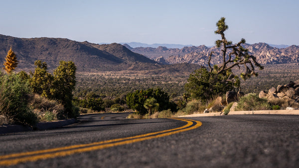
Tucked into the park’s southeastern corner, the Cottonwood region offers a quieter side of Joshua Tree. This lower-elevation Colorado Desert landscape combines camping, fan-palm oases, historic mine sites, birdwatching, rocky ridges, and sandy washes.
Explore with our hiking map
View this destination on the regional hiking map
The selected map entry clearly identifies whether it contains a trail line or a reference location only.
Three walks from Cottonwood Spring
- Mastodon Peak Loop (3 miles) — a moderate loop with about 375 feet of elevation gain, views across the southern park, and an optional unmaintained scramble to the summit. The route also passes the historic Mastodon Mine area.
- Lost Palms Oasis Trail (7.5 miles out and back) — a difficult, mostly exposed hike with about 500 feet of elevation gain. The rocky descent into the oasis makes the return climb strenuous; allow roughly 4–6 hours.
- Cottonwood Spring (0.1 mile) — a short walk from the parking area to a fan-palm oasis that attracts birds and other wildlife.
Plan for desert conditions
The routes have little to no shade and no reliable cell service. Carry plenty of water, check the forecast, and avoid the longer hikes when it is hot. Pets and emotional-support animals are not allowed on park trails; service animals are permitted under National Park Service rules. Park entrance fees may apply.
Much of the oasis is closed to foot traffic to protect the fragile habitat and preserve undisturbed wildlife access to water. Stay within established boundaries and check current park alerts before leaving.
Official sources
- National Park Service: Mastodon Peak Trailhead (updated March 2, 2024)
- National Park Service: Lost Palms Oasis
- National Park Service: Cottonwood Spring
- National Park Service: seasonal closures and restrictions (updated August 3, 2026)