






















Cotino Rancho Mirage Map
Explore Cotino street by street. Find the models, compare residential areas, and discover the bay, parks and Artisan Club. Switch views and choose the details you want to see.
Make the map yours
Read the map: street labels follow the mapped roads. Use Layers to show or hide builder areas, model and amenity markers, visitor arrival details, and the optional Longtable Park 55+ outline. Unverified future-release lots are omitted. Floor plans are matched at builder-and-collection level. Check the specific homesite for its design, options and age restrictions.
About this map & sources
Created by Mark Miller for Desert Oasis Insider. This geographic map combines Mapbox street and satellite views with mapped street centerlines and DOI’s interpretation of official conceptual site plans. Builder areas, model-home and amenity positions are approximate. Satellite images may predate current construction. Confirm access and directions at the Sales Studio.
The map focuses on Cotino’s northern neighborhoods and lagoon. The southern future residential land extends beyond this detail. Builder collections, numbered construction phases and age-qualified neighborhoods are separate designations.
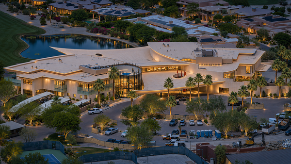
Artisan Club membership is separate from homeownership. The public Cotino Bay district is anticipated for spring 2027. Its announced businesses share a district location until individual storefronts are verified.
- Official October 2026 site plan
- Official model-home & amenity key
- Official Cotino Bay announcements
- Riverside County Assessor street-name reference — street records retain the individual sheet used for each name.
- OpenStreetMap contributors — internal street centerlines, reviewed against the assessor maps. Border roads use Riverside County road centerlines.
- DOI floor-plan profiles
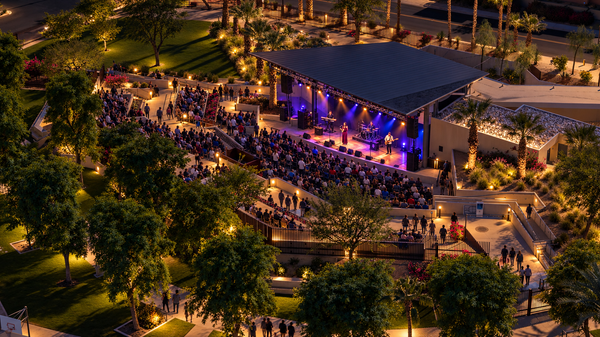
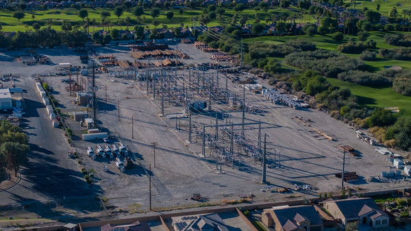
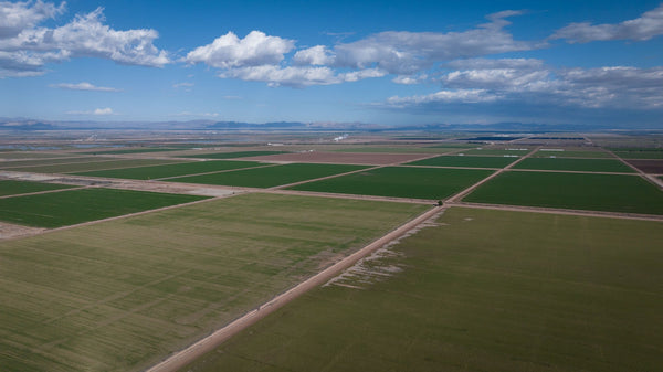
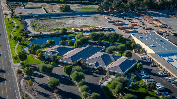
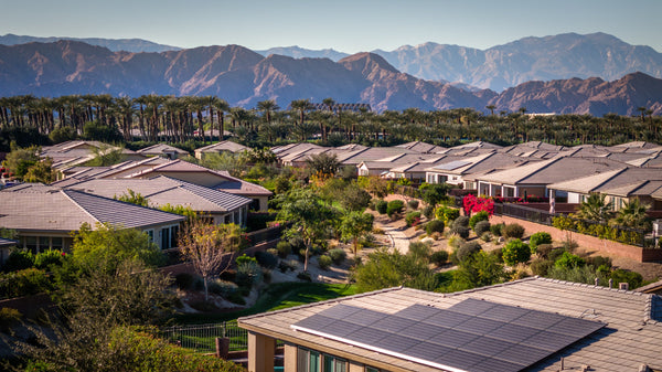
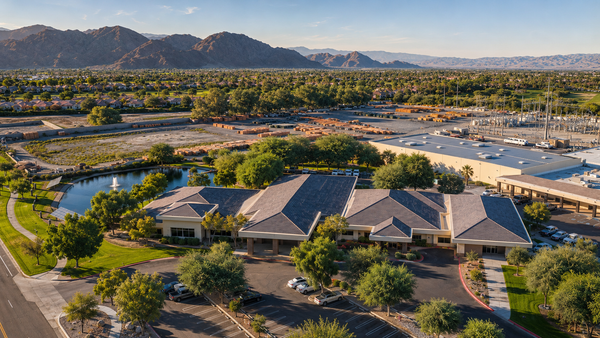
- Mark’s Season model walkthrough and aerial photographs — site-plan position corrected by Mark Miller.
Map updated November 9, 2026. The street layer includes 35 internal street names checked against Riverside County Assessor map sheets 68543–68557, plus four bordering roads. Centerlines are approximate map geometry; unnamed construction roads are not assigned invented names. Danube Drive and Cerulean Street’s shared turnaround uses an approximate naming transition. Earlier photographs and site-plan corrections retain their original observation dates. Plans and access terms can change. Dates identify the map edition and observations; they do not establish home completion dates. Independent publication; no affiliation with Disney, DMB or the builders is implied.
Understand the neighborhood behind the home.
Start with a builder’s area, then explore the designs associated with it. Grand and Estate each span more than one builder, while Longtable Park adds a separate 55+ neighborhood designation.