Eagle Mountain: The Desert Town Built Around a Mine
How Kaiser connected an iron mine, a company town and a desert railroad to the steelworks at Fontana.

A town can begin with a spring, a crossroads or a harbor. Eagle Mountain began with a requirement: get iron ore out of the desert and into a steel mill.
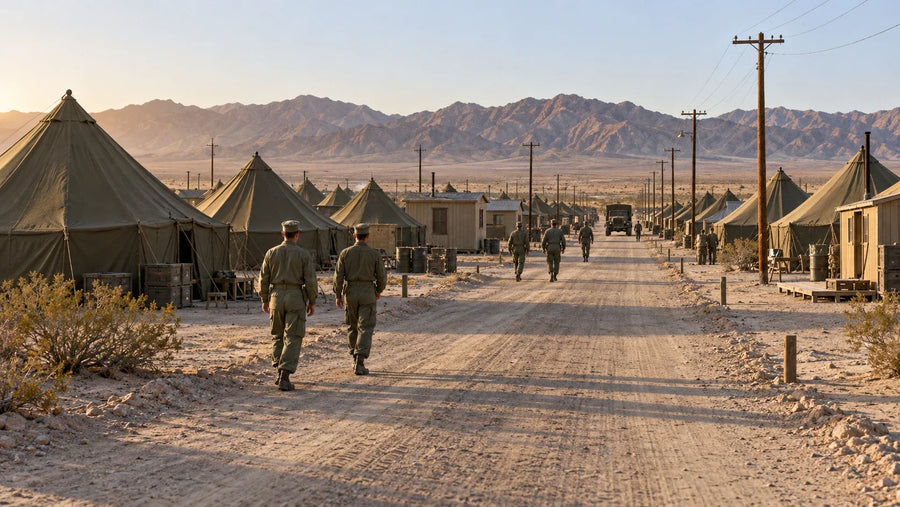
North of Desert Center, beyond the eastern Coachella Valley, Kaiser built a community beside an immense mining operation. Homes, classrooms, recreation and medical care helped make a remote industrial workplace into somewhere families could live. The railroad tied that place to Fontana—and to an economy much larger than the town itself.
Understanding Eagle Mountain means following all of those connections. The empty buildings are only the most visible part of the story.
- Built for iron. Large-scale production began in 1948 to supply Kaiser’s Fontana steelworks.
- A community, not just a work camp. Housing, schools and recreation supported workers and families.
- One connected system. A roughly 51-mile branch railroad linked the mine to Southern Pacific at Ferrum.
- The story continued after 1983. Later chapters included a prison, a failed landfill proposal and a licensed pumped-storage project.
Where is Eagle Mountain?
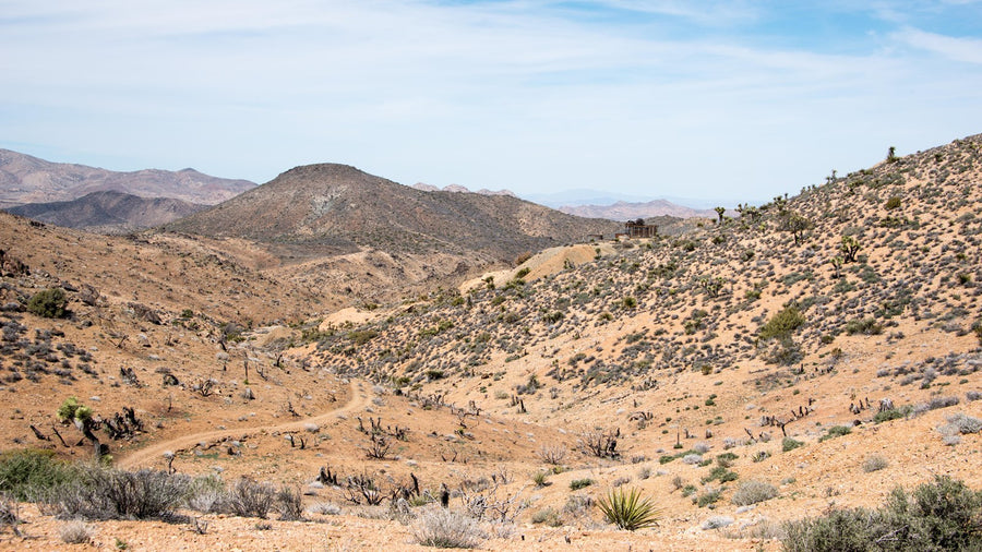
Eagle Mountain is in eastern Riverside County, north of Desert Center and Interstate 10, along the southeastern side of Joshua Tree National Park. It is part of the Colorado Desert landscape. The town, the mine, the Eagle Mountains and the national park are related places, but they are not interchangeable boundaries. [1, 3]
On a regional map, the important connection points southwest toward the Salton Sea, then west toward Fontana. That can feel counterintuitive: the steel mill was not next door, and the mine’s railroad did not simply run straight west to it. A branch line first had to reach the existing Southern Pacific network.
The steel mill came first
Henry J. Kaiser’s industrial interests included the ships and construction projects associated with America’s wartime expansion. His Fontana steelworks developed during World War II, when domestic steel capacity was an urgent national concern. The National Park Service’s historical account dates the mill’s opening to 1942. [1]
The plant needed a dependable supply of iron ore. Early supplies came from the Vulcan Mine near Kelso, but Kaiser acquired the patented Iron Chief claims at Eagle Mountain in 1944. Full-scale production there began in 1948. [1]
This chronology matters. Eagle Mountain was not a Gold Rush settlement that happened to acquire a modern factory. It was a twentieth-century mining community assembled to serve an existing industrial operation.
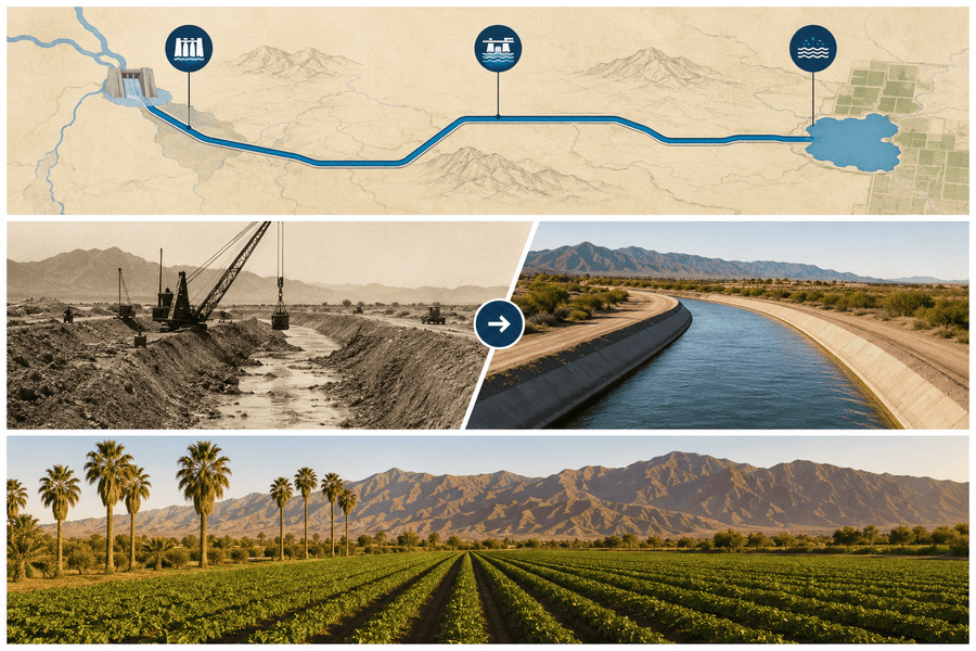
Explore the mine-to-mill connection
Select a numbered place to understand its role. The map separates the town from the mine and shows why Ferrum, beside the Salton Sea, mattered to a steel mill in Fontana.
Follow the iron from the mountains to the mill.
Simplified regional map. General locations and connections, not surveyed track alignments or property boundaries. Mine–town spacing is enlarged for clarity.
01 / EXTRACTION
The iron mine
Open pits and processing facilities supplied iron ore for Kaiser’s Fontana steelworks. Large-scale production began in 1948; full-scale mining ceased in 1983.
Its role: supply the raw material.
02 / DAILY LIFE
The company town
Homes, dormitories, schools, recreation and medical facilities made it possible for workers and families to live beside a remote industrial operation.
Its role: support the people who ran the mine.
03 / TRANSPORT
Ferrum: the rail connection
The roughly 51-mile Eagle Mountain Railroad reached Southern Pacific’s main line at Ferrum, near the Salton Sea. From there, ore moved west through the regional rail network toward Fontana.
Its role: connect a remote mine to the wider railway.
04 / MANUFACTURING
The Fontana steelworks
The mill was the reason for the long supply chain. Ore from Eagle Mountain helped feed an integrated steelmaking operation serving wartime and postwar industrial demand.
Its role: turn raw materials into steel.
Map interpretation: NPS historical study and Pacific Southwest Railway Museum. Sources 1–3. These are historical reference points, not visitor entrances.
What came out of the mountain?
Iron ore was the reason for the operation. Mining cut large open pits into the mountains, and processing facilities prepared material for shipment. The USGS’s geological report places the deposit within the local rock formations; the NPS describes four major pits created during Kaiser’s operation. [1, 8]
That scale changes how the landscape should be read. The pits, waste-rock areas, processing sites and rail facilities were different parts of a single production system. An aerial view can reveal their arrangement, but a photograph of one empty street cannot explain how the whole place worked.
The useful question is not just “what was mined here?” It is “what else had to be built here to make that mining possible?”
The town was part of the machinery
Distance made housing an operational necessity. Kaiser planned a community that could attract workers and accommodate their families, rather than relying solely on temporary sleeping quarters.
The NPS study describes air-conditioned homes, dormitories, a mess hall, a commissary, a post office and recreation facilities. Lawns had sprinkler systems; residents had access to pools, playgrounds and recreation centers. The commercial area included a bank, shopping facilities, medical services and a service station. Schools followed as the community grew. [1]
These were everyday institutions, but in a remote company town they carried unusual weight. A job could determine where a family lived, where children went to school and where neighbors gathered. The NPS account records a population of about 3,700 at the town’s height. Popular summaries often round that to 4,000. [1]
Former residents’ experiences were not uniform. The same NPS history contrasts affectionate memories of family life with frustrations among single workers living under dormitory restrictions. Both belong in the story. A well-equipped town could still be a tightly controlled place.
Why Joshua Tree’s boundary belongs in the story
Much of the Eagle Mountain study area was included when Joshua Tree National Monument was established in 1936. Existing private mining claims complicated that protection from the outset. Kaiser’s 1948 production began on patented lands under a conditional permit from the National Park Service. [1]
In 1950, Congress removed substantial mineral-bearing areas from the monument, including the Eagle Mountain area. Federal land removed from the monument came under Bureau of Land Management administration. A 1952 private law then conveyed land for Kaiser’s townsite and provided a railroad right-of-way, with conditions tied to mining-related use. [1]
The boundary was therefore part of the industrial story, not simply a line around scenery. Later proposals to protect or redevelop this landscape inherited that mixture of public land, private property, rights-of-way and historical obligations.
1983: when the system stopped holding together
The NPS attributes the end of active Kaiser mining to economic factors and international competition. Full-scale iron-ore operations ceased in 1983. Once the mine’s employment base disappeared, most residents moved away. [1]
It is tempting to describe a town abandoned overnight. That phrase makes a dramatic headline, but it obscures the process: industrial retrenchment, lost jobs, household moves, institutional changes and subsequent reuse. Eagle Mountain’s residential life contracted because the system supporting it contracted.
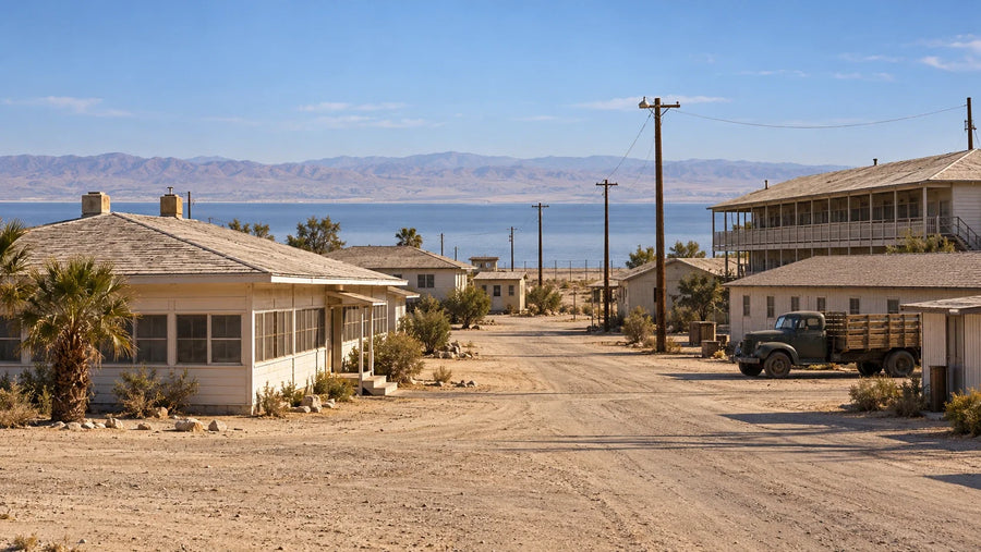
The surviving street pattern gives that loss a recognizable shape. It also deserves to be read as the outline of a former community, not merely a setting for ruin photography.
A prison, a landfill proposal and another energy idea
The post-mining years brought attempts to find new uses for the site. A correctional facility occupied the former commercial area, and some employees lived in town. The NPS records the prison’s closure in 2003. [1]
Another proposal would have used the mine for a large landfill served by rail. A 1999 federal land exchange was challenged in court. The Los Angeles County sanitation districts withdrew from pursuing the project in 2013; a final court order in 2014 unwound the exchange and returned federal lands to BLM administration. [4]
The pits also became the setting for the Eagle Mountain Pumped Storage Hydroelectric Project. Its design uses an upper and lower reservoir: electricity pumps water uphill, and water later flows downhill through turbines to generate electricity. It stores energy rather than creating an unlimited new supply of it. [6]
FERC issued the original license in 2014. Its October 16, 2025 amendment order still described the project as unconstructed, while approving a transmission-line and boundary change. A March 6, 2026 docket entry records another order concerning revised exhibits and project descriptions. These are regulatory milestones, not evidence of an operating power station. [5, 7]
The townsite, mining property and energy-project footprint should not be treated as one undifferentiated parcel. A change affecting one does not automatically tell us the ownership, access or operating status of the others.
Can you visit Eagle Mountain?
Do not plan this as an open-access ghost-town walk. The official records identify private property at the mine and townsite, and the NPS boundary-study materials describe access limitations. Inclusion in a historical map—or proximity to Joshua Tree—does not establish a public entrance. [1]
Respect posted restrictions and obtain permission from the responsible owner or manager before entering private land. This article’s map is for understanding the history; its markers are not parking locations, trailheads or driving directions.
For a public outing in the wider region, use the separate guides to Joshua Tree’s Cottonwood region, North Shore Beach and Yacht Club or Salton Sea State Recreation Area. Those places tell different chapters of the desert’s history; they are not access routes into Eagle Mountain.
A town that makes the desert’s connections visible
Eagle Mountain helps explain a landscape that is too often described as empty. Mountain rock became industrial feedstock. Rail lines connected a remote workplace to a western steel mill. Schools and homes made the workforce sustainable. Public-land decisions changed what could happen around them.
The next time you see the mine on a map, look beyond the pits. Look for the town, the rail connection and the distant mill. The settlement makes more sense when all four are in view.
Eagle Mountain questions, answered
Where is Eagle Mountain, California?
It is north of Desert Center in eastern Riverside County, along the southeastern side of Joshua Tree National Park. The historical townsite is distinct from the mountain range and the mine.
Why was Eagle Mountain built?
Kaiser developed the town to house workers and families serving its iron-ore mine. The ore supplied Kaiser’s steelworks at Fontana; large-scale mining began in 1948.
When did the Eagle Mountain mine close?
Full-scale Kaiser iron-ore mining ceased in 1983. That date should not be confused with the end of every later use of the site: a correctional facility operated afterward and closed in 2003.
Can the public walk through the abandoned town?
Do not assume public access. The mine and townsite include private property. Follow posted restrictions and obtain the necessary permission before entering; the article’s map is not an access guide.
Did the proposed landfill or pumped-storage project open?
The landfill proposal did not become an operating landfill; the associated land exchange was unwound in 2014. FERC’s October 2025 order described the pumped-storage project as unconstructed. Later regulatory filings should not be mistaken for confirmation that a facility is operating.
Sources, historical records & map notes
- National Park Service. Eagle Mountain Boundary Study Including Possible Land Withdrawal: Environmental Assessment. 2016; especially printed pp. 1, 5–6, 9 and 38–39.
- Pacific Southwest Railway Museum Association. Kaiser Steel #1905. Collection history; reviewed October 19, 2026.
- U.S. Geological Survey, Geographic Names Information System. Eagle Mountain, feature 1660573. Populated-place record; reviewed October 19, 2026.
- Bureau of Land Management. U.S. District Court Issues Final Judgment and Order for Eagle Mountain Land Exchange. December 2014 court action; agency announcement.
- Federal Energy Regulatory Commission. Order Amending License, Project No. 13123-031, 193 FERC ¶ 61,037. October 16, 2025, especially pp. 1–2.
- California State Water Resources Control Board. Eagle Mountain Pumped Storage Project, FERC #13123. Project design and 2013 certification record; page updated April 1, 2020.
- Federal Energy Regulatory Commission. Eagle Mountain order on revised exhibits, Project No. P-13123-035. March 6, 2026; accession 20260306-3031.
- Eric R. Force, U.S. Geological Survey. Eagle Mountain Mine: Geology of the Former Kaiser Steel Operation in Riverside County, California. Open-File Report 01-237, 2001.
Research reviewed October 19, 2026. The 2016 NPS study is used as a historical source, not as proof of current ownership, access or project completion. The original DOI cover and interactive map are simplified explanatory graphics; lines show connections, not surveyed railroad alignments or property boundaries. General locations are informed by the NPS study, the USGS place record and the railway museum’s history. No image is presented as Mark Miller’s on-site photography of Eagle Mountain.