Before the Cities: The Cahuilla Homelands of the Coachella Valley
How water, elevation, seasonal movement and sovereign communities shaped the valley long before railroads, resorts and city limits.

Long before the Coachella Valley was divided into Desert Hot Springs, Palm Springs, Cathedral City, Rancho Mirage, Palm Desert, Indian Wells, La Quinta, Indio and Coachella, it was already a named, inhabited and connected homeland.
Cahuilla communities lived around springs, canyon streams, wells, palm oases and the changing shore of ancient Lake Cahuilla. Established villages were joined by trails that climbed from the desert floor into the San Jacinto and Santa Rosa Mountains. People moved with purpose—to gather food, hunt, visit relatives, exchange goods and reach cooler country as seasons changed.
The later map of railroad sections, reservations, farms and city limits did not begin this history. It was laid over it. Understanding that order changes the story of the entire valley: the cities were not built in an empty desert, but within continuing Cahuilla homelands.
- Cahuilla nations describe their relationship with this region as extending since time immemorial; archaeology independently documents thousands of years of Indigenous occupation at particular sites.
- “Cahuilla” names a people and related cultural-linguistic traditions, not one modern government. Each Tribal nation is sovereign and has its own history, citizens, lands and leadership.
- Permanent villages and purposeful seasonal movement worked together. Springs, trails, family relationships and changes in elevation connected the desert floor with mountain country.
- Water knowledge included springs, canyon flows, wells and engineered systems. Irrigated farming is clearly documented by the early historic period, while pre-contact cultivation of domesticated crops remains debated.
- Ancient Lake Cahuilla repeatedly filled and receded, reshaping the southern basin and the places where people could fish, gather, travel and live.
- Reservation boundaries and city limits are later legal lines. They do not define the full ancestral homeland or mark the beginning of Cahuilla history.
Before the cities was not before history
The phrase “before the cities” can accidentally suggest a blank opening chapter. The evidence points in the opposite direction. Cahuilla nations describe their ties to the region as reaching back since time immemorial. Archaeological work documents Indigenous occupation across thousands of years, but an excavated date is evidence from one place—not a starting date for a living people.
That distinction matters because different ways of knowing answer different questions. Tribal history expresses identity, memory and responsibility to a homeland. Archaeology studies material remains recovered in particular contexts. Neither should be forced into a single countdown to the arrival of railroads or settlers.
For a broader introduction to Cahuilla identity, language, cultural regions and modern governments, begin with Who Are the Cahuilla? This story follows a narrower question: what organized life across the valley before modern city lines, and what happened when new legal maps were placed over that older landscape?
One people, many sovereign nations
Cahuilla belongs to the Takic branch of the Uto-Aztecan language family. Public sources commonly describe Desert, Mountain and Pass or Western Cahuilla dialects and cultural-geographic associations. Those terms help explain relationships among communities in different environments, but they are not the names of three governments and they do not draw rigid territorial borders.
Modern Cahuilla nations are separate sovereign governments. Among those centered in or closely tied to the Coachella Valley are the Agua Caliente Band of Cahuilla Indians, Augustine Band of Cahuilla Indians, Cabazon Band of Cahuilla Indians and Torres Martinez Desert Cahuilla Indians. The Santa Rosa Band of Cahuilla Indians connects the valley’s lower desert canyons with the high country around Toro Peak. Other Cahuilla nations are rooted in the San Gorgonio Pass, Anza and neighboring mountain regions.
Agua Caliente
A Cahuilla nation whose reservation and ancestral lands include parts of present-day Palm Springs, Cathedral City and Rancho Mirage, along with the Indian Canyons.
Augustine
A distinct Desert Cahuilla nation in the eastern valley whose public history connects its reservation with an earlier village near present-day Coachella.
Cabazon
A distinct Cahuilla nation based near Indio, with noncontiguous reservation lands in the eastern Coachella Valley.
Torres Martinez
A Desert Cahuilla nation whose reservation lands extend through the southeastern valley and into Imperial County.
Names matter
Not every Tribal nation with land in the Coachella Valley is Cahuilla. The Twenty-Nine Palms Band of Mission Indians identifies as a Chemehuevi nation and has sovereign lands near both Twentynine Palms and Coachella. “Mission Indians,” where it appears in an official name, is a historical administrative label—not the name of one culture.
Interactive map logic
How the map changed without erasing the homeland
Select each layer in order. The newest boundaries altered land ownership and government, but they did not replace the relationships beneath them.
Deepest layer
Homeland
Cahuilla nations describe enduring relationships among people, water, mountains, plants, animals, stories and responsibilities. A homeland is not simply an old boundary that can be replaced by a newer one.
How to read it: the stack is a teaching model, not a territorial map. Reservation lands, current ownership, municipal boundaries and ancestral homelands are different concepts.
Water was the first map
On the desert floor, reliable water concentrated life. Springs and canyon streams supported established communities. Palm oases gathered plants, wildlife, shade and useful materials in a small area. In other places, people reached groundwater through hand-dug wells. The Augustine Band’s public history describes stepped walk-in wells that could be deepened as the water table changed.
In the western valley, the Agua Caliente Band’s public history identifies communities in Palm, Murray, Andreas, Tahquitz and Chino canyons. Cultural features recorded in the canyons include house remains, food-processing areas, trails, irrigation ditches, dams and reservoirs. At Séc-he—the hot mineral spring in present-day downtown Palm Springs—water supported community life long before it became the basis of a resort economy. That transition is explored in Why Palm Springs Exists.
Farther east, the modern name Indian Wells preserves a partial memory of an older water place. Its fuller history begins with Cahuilla water knowledge, not the incorporation of a city. The connection is traced in Why Indian Wells Exists.
Cahuilla communities also engineered water. Wells, ditches, dams and reservoirs show observation joined with labor. Irrigated plots and cultivated crops are clearly documented by the early historic period. Archaeologists continue to debate whether domesticated crops were grown in the valley before European contact, so the surviving waterworks should not be used to claim more than the evidence supports.

A homeland measured in elevation
The mountains were not scenery at the edge of Cahuilla life. They were part of the homeland. Within a relatively short distance, elevation changes the temperature, water, plants and animals. Low desert, canyon, foothill, pinyon country and oak woodland offered different resources at different times.
Established villages and seasonal movement therefore belonged to the same system. People did not wander randomly through an unknown desert. Trails connected homes with water sources, gathering areas, hunting places, relatives, ceremonies and neighboring communities. In some accounts, low-desert families carried mesquite foods into the mountains, while mountain relatives brought agave and pinyon foods down toward the valley.
The Santa Rosa Band’s public history offers an especially clear reminder that Cahuilla life cannot be reduced to the valley floor. The people of Sew’ia identify as Mountain Cahuilla and describe a homeland reaching from lower desert canyons toward the high country around Toro Peak. The physical relationship among these ranges becomes easier to see in the visual guide to the mountains around the Coachella Valley.
Seasonal movement was not the absence of home. It was a way of living within several connected ecological zones while maintaining villages, family relationships and responsibilities to particular places.
Plants were food, material and calendar
A useful plant was never only an ingredient. Knowledge included where it grew, when it was ready, how it should be gathered, how it was processed, who held gathering rights and how future production would be protected.
Honey mesquite was especially important in Desert Cahuilla communities. Blossoms and pods provided food; dried pods could be ground and stored; trees supplied shade and material while also signaling groundwater and seasonal change. In mountain and foothill country, agave, acorns and pinyon added other harvest cycles. Seeds, greens, cactus fruits, berries, game and birds broadened a food system that varied by community, elevation and season.
The California fan palm, Washingtonia filifera, is native to Southern California desert oases. Its fruit and fronds had practical uses, and public land-management histories describe Indigenous tending that included planting seeds and using controlled fire in some groves. It should not be confused with the imported Old World date palm, Phoenix dactylifera, whose commercial story began much later and is told in How Dates Built the Coachella Valley.

Lake Cahuilla kept changing the southern valley
The southern basin did not always look as it does today. Ancient Lake Cahuilla formed repeatedly when the Colorado River shifted into the Salton Trough. At full stage it covered a far larger area than the modern Salton Sea, creating shoreline, marsh and open-water environments where dry desert later returned.
Those changes altered travel, settlement and available food. Archaeological sites around the former shoreline include fish traps, food remains, hearths, house features, pottery and camps that moved as the water rose or retreated. Fish, waterfowl and marsh plants became part of life around the lake, but not everyone associated with the wider basin should be described as Cahuilla; neighboring peoples also had relationships with the lake and river-delta region.
Recent research identifies several late-Holocene filling cycles rather than one lake that vanished once. The latest full stage peaked in the early eighteenth century and then receded. The longer environmental chronology—and the difference between this ancient lake and today’s recreation reservoir at Lake Cahuilla Veterans Regional Park—is explained in Ancient Lake Cahuilla: The Lost Sea of Coachella Valley.

For a closer look at the southern valley’s present-day landscape, explore the photographs and place guide for Coral Mountain, a distinctive landmark at the edge of the Santa Rosa Mountains.
Trails made the valley a crossroads
A modern road map can make the mountains look like walls and the desert towns like isolated stops. The earlier trail network tells a different story. Routes connected villages with springs, gathering places, passes, high-country harvests and neighboring peoples. Goods moved across long distances, including shell from the Pacific and Gulf of California and stone from regional sources.
Travel carried more than material. Family relationships, news, songs, language, ceremony and obligations also moved along these routes. Some modern transportation corridors follow the same broad openings through the landscape, but that does not make a highway the beginning of connection. The pass and valley had already functioned as a crossroads.
Exact archaeological and cultural locations do not need to be publicized to make this point. Trails, rock art, mortars, wells, pottery fragments and other cultural materials should be left undisturbed. Removing an object destroys its context and can violate the laws and rules protecting cultural resources.
New lines crossed an existing homeland
The nineteenth century brought epidemics, violence, labor exploitation and intensifying pressure on land and water. The Augustine Band’s public history describes a catastrophic smallpox epidemic in 1863. Families and communities experienced enormous loss while state, federal and private systems claimed land around them.
Between 1851 and 1852, United States commissioners negotiated eighteen treaties with California tribes or bands. The Senate rejected the agreements, and the promised protections never took effect. Later reservation lands were established piecemeal through separate federal actions rather than one settlement for all Cahuilla people.
Agua Caliente reservation lands were set apart beginning in 1876 and expanded in 1877. Cabazon reservation history also begins with an 1876 executive order. The separate Torres and Martinez reservations were created in 1876 and later combined, while the Augustine Reservation was formally established in 1891. These dates describe United States legal actions. They do not describe when the communities began or the full extent of their homelands.
In the western valley, a federal railroad grant and reservation orders produced the alternating square-mile pattern still visible in land records. That checkerboard shaped later leasing and development in Palm Springs, but it should be understood as a newer legal geometry across an existing Agua Caliente homeland.
Then came the modern cities
Railroad construction, groundwater pumping, imported irrigation water, agricultural settlements, health resorts and real-estate development produced another map. Towns grew and incorporated at different moments. Roads replaced or crossed older routes. Springs became attractions. Mountain views became marketing. Land was subdivided, leased, sold and governed through overlapping Tribal, federal, county and municipal systems.
Each city’s origin story is clearer when it begins before incorporation. Indio grew around the railroad, but the eastern valley was already inhabited and connected. Palm Springs developed around a hot spring on Agua Caliente land. Indian Wells took its name from an Indigenous water place. Modern La Quinta expanded beneath mountains long crossed by Cahuilla trails.
The result is not a story in which one world disappeared and another replaced it. It is a layered landscape. Cahuilla nations remained, adapted, defended land and water, rebuilt governmental capacity and continued cultural life while cities grew within and around their lands.
Cahuilla history is present tense
Cahuilla people are not figures confined to a pre-city scene. Today, distinct Tribal governments make decisions about land, water, cultural resources, education, economic development and public services. Language teaching, Bird Songs, basketry, museums, archives, cultural programs and family knowledge carry continuity in forms that are both traditional and contemporary.
The Agua Caliente Band co-manages the Santa Rosa and San Jacinto Mountains National Monument, protects cultural resources through its Tribal Historic Preservation Office and tells its own history at the Agua Caliente Cultural Museum. Other Cahuilla nations maintain environmental departments, language and cultural programs, museums, farms and community institutions according to their own priorities.
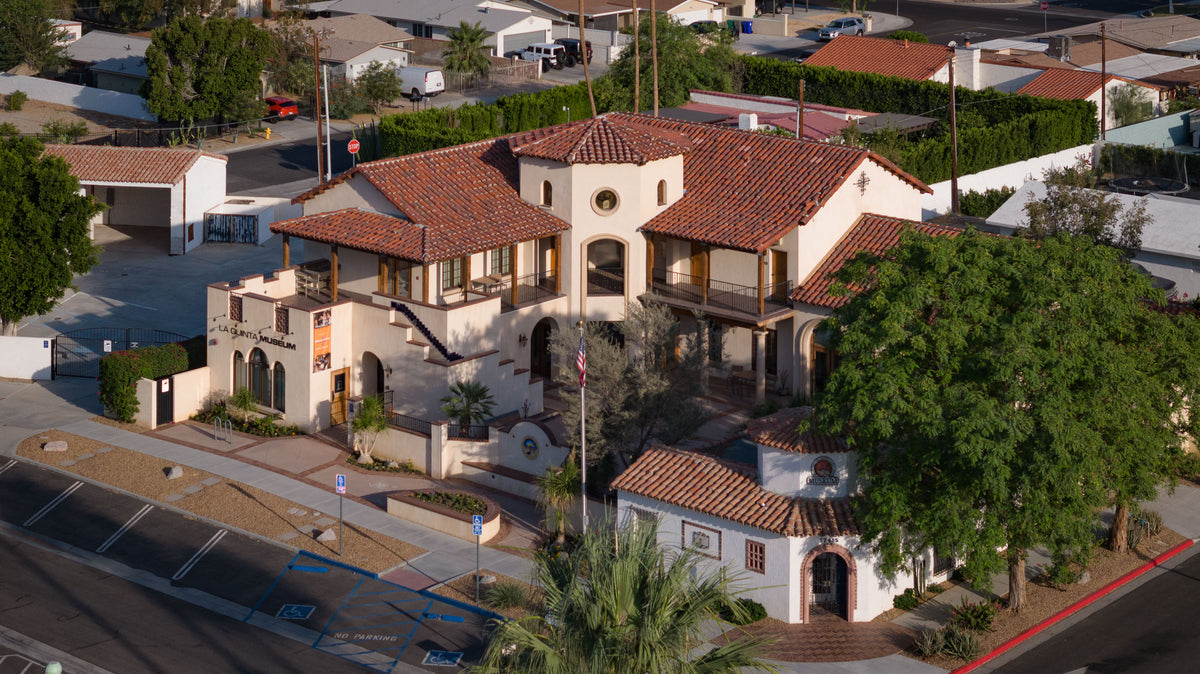
To continue learning locally, La Quinta Museum offers exhibits on Cahuilla history and the history of the surrounding community.
Modern leadership has also changed how the valley itself developed. Five Agua Caliente Women Who Changed Palm Springs Forever follows women whose work in land, governance and cultural preservation reshaped both Tribal history and the modern city.
The most accurate ending is therefore not “what remains.” Cahuilla history did not end when the cities began. The cities were built within living homelands whose people, governments and responsibilities continue.
Frequently asked questions
Are all Cahuilla people members of one tribe?
No. Cahuilla describes a people and related cultural-linguistic traditions. Modern Cahuilla Tribal nations are distinct sovereign governments with their own citizens, leadership, lands and histories.
What do Desert, Mountain and Pass Cahuilla mean?
They are broad cultural-geographic and dialect associations connected with different parts of the desert, mountains and San Gorgonio Pass. They are not three governments, rigid political districts or a complete description of every modern citizen’s identity.
Were Cahuilla communities nomadic?
That word is too simplistic. Public histories document established villages near water as well as purposeful seasonal movement for gathering, hunting, visiting relatives, ceremony and access to resources at different elevations.
Is the California fan palm the same as a date palm?
No. The native California fan palm is Washingtonia filifera. The cultivated date palm is Phoenix dactylifera, an Old World crop imported to the valley for commercial agriculture around the turn of the twentieth century.
Is a reservation the same as an ancestral homeland?
No. A reservation is a legal land base with a specific United States history. An ancestral homeland is a broader cultural landscape of community, memory, use and responsibility. Current land ownership, municipal boundaries and Tribal jurisdiction are also separate concepts.
Sources and further reading
This article prioritizes public histories published by Cahuilla nations and Cahuilla-centered institutions. Archaeological and government sources are used for chronology, language, ecology and federal records. Nation-specific claims are attributed to the nation that published them.
- Agua Caliente Band of Cahuilla Indians: Indian Canyons history — villages, water systems, cultivation, trails and cultural features.
- Agua Caliente Cultural Museum: Permanent Gallery — Tribal history, cultural continuity and archaeological context at the Cultural Plaza.
- Augustine Band of Cahuilla Indians: History and Heritage — villages, wells, mesquite, seasonal exchange and reservation history.
- Torres Martinez Desert Cahuilla Indians: History and Culture — Martinez Canyon, Tribal identity and reservation history.
- Santa Rosa Band of Cahuilla Indians: Culture and Geography — Mountain Cahuilla identity, Sew’ia, Toro Peak and seasonal movement.
- Indian Health Service: Cabazon community profile and U.S. Department of Energy: Cabazon reservation geography.
- Twenty-Nine Palms Band of Mission Indians: Tribal History — Chemehuevi identity and the Tribe’s land history.
- UC Berkeley California Language Archive: Cahuilla — language family and prominent dialects.
- Bureau of Land Management: Santa Rosa and San Jacinto Mountains National Monument — ancestral and contemporary Cahuilla connections and co-management.
- National Park Service: Fan-palm oases — oasis ecology and publicly documented Cahuilla uses and tending practices.
- Rockwell and others, Quaternary Science Reviews: Holocene history of Lake Cahuilla — the updated chronology of repeated lake filling and recession.
- National Archives: California Indian enrollment and judgment records — the eighteen unratified California treaties of 1851–1852.
- Agua Caliente land-use ordinance — documentation of the 1876 and 1877 reservation executive orders.
Research checked September 7, 2026. Historical synthesis based on the linked sources; no original interviews or access to nonpublic cultural knowledge are implied.