









Mountain Lions of the Coachella Valley and Surrounding Mountains
Their hidden lives, the places they inhabit, and the evidence connecting desert canyons with mountain towns.

A mountain lion can be part of a landscape long before anyone notices it. Around the Coachella Valley, the useful question is not simply whether lions exist. It is how a large, secretive predator finds food, cover and room to move between desert mountains, forested slopes and the edges of our towns. [1]
My photographs at The Living Desert let us look closely at an animal that is difficult to observe in the wild. The larger story reaches well beyond the zoo: into Idyllwild, the San Bernardino Mountains and Joshua Tree country. This guide brings those places together through natural history, dated records and a map that makes the limits of the evidence visible.
- Mountain lions occur in the region, but sightings do not establish a resident population in every town.
- Explore seven dated records separately from habitat context and proposed wildlife connections.
- Your map is an evidence archive, not live tracking or a guide to approaching lions.
- The 2026 SR 62 collision and crossing proposals show why connections between habitats matter.
Explore the evidence
Mountain Lion Country: Habitat & Documented Sightings
Explore seven dated records, four landscape context points and two proposed connections. All markers are generalized; none shows a current animal location.
Dates filter documented records only. Older observations remain historical evidence.
The map is loading. All records and sources are available below.
Numbered markers = dated records. H = habitat context. C = proposed connection. Context points are not habitat boundaries; crossing points are not engineered alignments.
13 entries available below.
Documented record · April 26, 2026
Yucca Grade: a young male crossing SR 62
Agency findings reported by MDLT
MDLT reports that CDFW identified an approximately 18-month-old male killed by a vehicle while moving from the San Bernardino Mountains side toward Joshua Tree National Park. The marker uses the Yucca Valley area, not the collision location.
Documented record · October 18, 2021
Palm Springs: lion captured at a condo complex
Reported agency response
KESQ documented CDFW’s capture of a mountain lion at Sunrise Palms. This establishes an urban encounter on that date; it does not establish a resident population in the neighborhood. Marker generalized to Palm Springs.
Documented record · Late September 2020
Idyllwild area: an underweight cub rescued
Rescue reported February 2021
The Town Crier reported a cub found beside a road in the Idyllwild area and later transferred to Southwest Wildlife Conservation Center. Exact discovery day is not supplied. Marker generalized to Idyllwild.
Documented record · April 19, 2016
Idyllwild: Jon King’s camera photograph
Dated camera photograph
A Town Crier article reproduces a photograph credited to wildlife biologist Jon King, taken by an automated camera near Tahquitz Drive. Private property is not pinpointed.
Documented record · February 2015–July 2016 project
Idyllwild, Fern Valley and Strawberry Creek
Research camera detections
John Laundré’s project summary reported four mountain lion photographs, including detections along Strawberry Creek and in Fern Valley. Four photographs do not mean four different lions. One area marker represents the project.
Documented record · May 4, 2010
Lake Arrowhead forest: reported encounter
Local reporting with agency response
KBHR reported an encounter north of Lake Arrowhead with Forest Association volunteers and agency responders. This is an archived account, not a current trail warning. Marker uses the town area.
Documented record · April 30–May 4, 2010
Big Bear City: Whispering Forest reports
Local reporting with agency attribution
KBHR described a juvenile lion associated with a dog incident and subsequent sightings in Whispering Forest. Multiple reports can concern the same animal. Marker uses the Big Bear City area.
Habitat context · Regional context
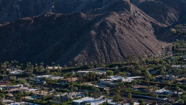
Santa Rosa Mountains
Mountain landscape
The rugged mountain edge south of the valley provides the landscape context for this guide. This is an orientation point, not a surveyed habitat boundary or a sighting.
Habitat context · Regional context
San Jacinto Mountains and Idyllwild
Documented mountain habitat
Forest Service habitat descriptions and the Idyllwild camera project establish mountain lion presence in this broader mountain landscape. This marker is an orientation point.
Habitat context · Regional context
San Bernardino Mountains
Big Bear / Lake Arrowhead context
The forested mountain landscape contains documented encounters around Big Bear and Lake Arrowhead. An area marker does not identify a territory or imply uniform occupancy.
Habitat context · Park inventory
Joshua Tree National Park
Listed as rare
The NPS mammal inventory lists mountain lions as rare and parkwide; the park asks visitors to report observations. The marker represents the park broadly, not a known den or encounter.
Proposed connection · Planning award: February 26, 2026
Morongo Grade crossing proposal
Proposed wildlife connection
MDLT identifies Morongo Grade as one of two proposed SR 62 overpasses. The award supports design, studies and environmental review; this is not an open crossing. Marker generalized to Morongo Valley.
Proposed connection · Planning award: February 26, 2026
Yucca Grade crossing proposal
Proposed wildlife connection
The second proposed overpass is at Yucca Grade. MDLT describes a connection between Joshua Tree National Park and the Sand to Snow / San Bernardino landscape. The marker is not an engineering alignment.
No records match these filters. Try another area or reset the filters.
Coverage: Coachella Valley, Santa Rosa and San Jacinto mountains, Big Bear, Lake Arrowhead, Morongo Basin, Joshua Tree and Twentynine Palms. Town labels provide orientation; missing records are not evidence of absence. This is a curated archive, not a comprehensive agency database or live alert service.
One species across very different landscapes
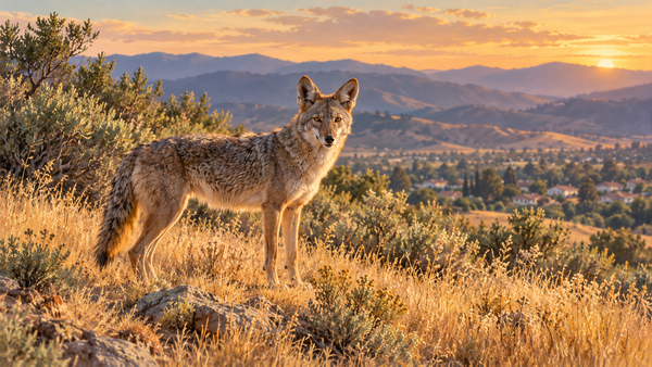
Mountain lion, cougar and puma are names for Puma concolor. Adults have a largely unspotted, tawny coat and a long tail; cubs begin life with spots. That long tail is an especially useful distinction from the short-tailed bobcat. Color and an impression of size alone make a weak identification, particularly in a fleeting night-time view. [3] [4]
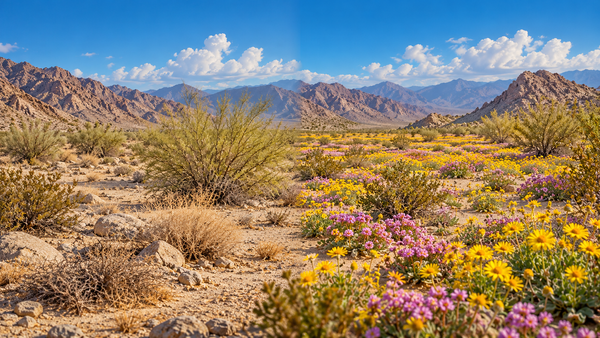
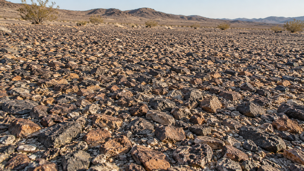
The name “mountain lion” can be misleading. These cats use more than high peaks. California’s habitat account describes a range extending from low elevations to alpine country, with prey and cover helping determine where they can live. Very dry desert without adequate prey is not equivalent to a wooded canyon simply because both fall inside the same regional map. [2]
Where the regional story unfolds
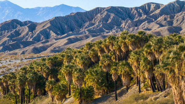
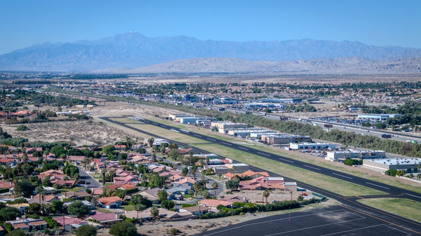
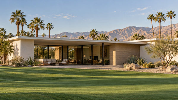
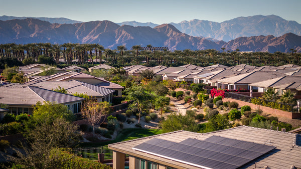
Coachella Valley and the Santa Rosa mountain edge
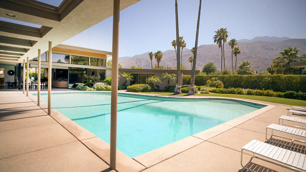
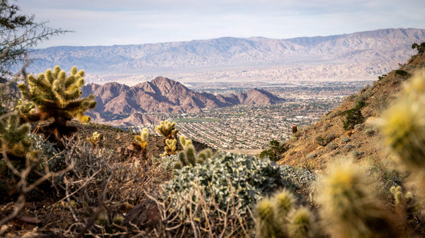
Palm Springs, Palm Desert, Indian Wells and La Quinta sit beside mountain terrain, but a city name is a poor substitute for habitat detail. The broad contrast is between the developed valley floor and adjoining canyons, rocky slopes and mountain vegetation. Read the Santa Rosa Mountains guide for that landscape context. Our map’s Santa Rosa point is an orientation marker, not a boundary drawn around a resident lion. [2]
An urban encounter is still real evidence. On October 18, 2021, KESQ documented wildlife officials capturing a lion at the Sunrise Palms condominium complex in Palm Springs. It demonstrates that a lion reached that developed setting on that date. It does not tell us that the neighborhood supports a permanent population or that the animal followed a particular route into town. [9]
San Jacinto Mountains: Idyllwild, Pine Cove and Fern Valley
Here the record includes systematic observation. John Laundré’s “What’s Wild in Idyllwild” project began placing cameras in February 2015 around Idyllwild, Fern Valley and Pine Cove. Its July 2016 summary described more than 5,000 wildlife photographs, but only four of mountain lions, including detections along Strawberry Creek and in Fern Valley. Those are photographs, not a count of individual cats. [6]
A separate Town Crier article reproduces wildlife biologist Jon King’s dated camera image from April 19, 2016. Together, these records show why a place can contain lions without frequent daytime sightings. The Forest Service also names mountain lions among the animals of the South Fork San Jacinto Wilderness and nearby Cahuilla Mountain Wilderness. These mountain habitats are part of the wider setting around Idyllwild. [7] [5] [18]
San Bernardino Mountains: Big Bear and Lake Arrowhead
Big Bear and Lake Arrowhead belong to the regional story in their own right, rather than as extensions of the valley floor. In May 2010, KBHR reported a Lake Arrowhead forest encounter and separate juvenile-lion reports in Big Bear City’s Whispering Forest neighborhood, with attribution to responding officials. We retain their dates prominently. An archived encounter should never masquerade as a current warning about a trail. [10]
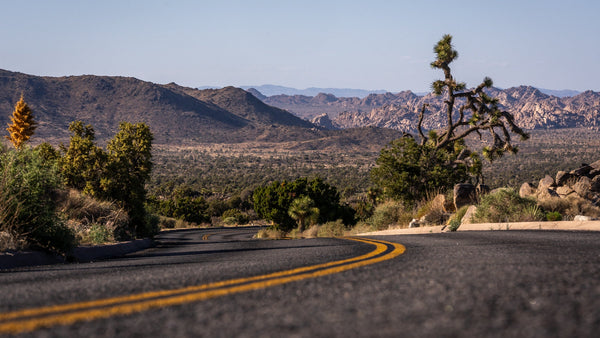
Morongo Basin, Joshua Tree and Twentynine Palms
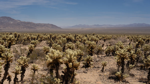
Joshua Tree National Park’s mammal inventory lists mountain lions as rare and parkwide. Its reporting guidance specifically asks visitors to report this uncommon animal. That supports presence in the park, while leaving the number of resident cats and frequency of visits to adjoining towns unresolved. Joshua Tree and Twentynine Palms are gateways to this landscape, not interchangeable labels for a lion’s territory. [11] [12]
A particularly telling event occurred on April 26, 2026. According to the Mojave Desert Land Trust, CDFW determined that a lion killed on SR 62’s Yucca Grade was a healthy male about 18 months old. MDLT reported that it had been moving from the San Bernardino Mountains side toward Joshua Tree National Park. The event makes the need for a safe connection tangible; it does not establish the animal’s entire route or prove that it had crossed successfully before. [13]
A hunter shaped by prey and cover
Mountain lions are built for stalking and ambush. Cover lets a cat approach before a short, powerful attack; open pursuit over a long distance is not the central strategy. After a large kill, a lion can conceal the carcass and return to feed. A feeding site is therefore something to leave undisturbed, not a reason to stay for a photograph. [3] [4]
Mule deer are important prey, with rabbits, rodents and other animals also taken. The exact menu depends on what is available. Bighorn sheep belong in the regional predator–prey conversation, but it would be wrong to treat every local sheep death as lion predation or borrow a predation rate from another mountain range. Our bighorn sheep guide explores that animal’s own conservation story. [2] [3]
The hidden work of raising a lion
A female raises the young. Cubs depend on her before learning the skills they need to hunt independently, and their spotted coats change as they grow. California’s life-history account describes independence during the second year. That long learning period helps explain why a small cub is not simply a miniature self-sufficient adult. [2] [4]
The region has a documented rescue story as well. The Town Crier reported that an underweight cub found in the Idyllwild area in late September 2020 received temporary care before being transferred to Southwest Wildlife Conservation Center. Its February 2021 account described the cub’s recovery. This was an individual rescue, not a census of breeding lions around Idyllwild. [8]
Seeing a cub alone does not establish that it has been abandoned. CDFW advises people not to approach or intervene: a mother may be away hunting. Report an injured or concerning animal and let wildlife professionals assess the situation. [1]
Why the spaces between mountains matter
A map of protected places can look reassuring while hiding the difficulty of getting from one to another. A road can separate usable habitat; development can narrow the remaining passage. Long-running research in the Santa Monica Mountains shows why barriers and isolation matter to mountain lions. Those findings offer context, not a population estimate for our mountains. [17]
For this region, SR 62 is a concrete example. In February 2026, MDLT announced a $5.5 million planning award for two proposed crossings, at Morongo Grade and Yucca Grade. The announced work supports technical studies, environmental review and design to 65% completion. Construction funding remains a separate step. These are proposed connections—not completed overpasses that animals can already use. [14]
MDLT describes the corridor as linking Joshua Tree National Park with Sand to Snow National Monument, San Gorgonio Wilderness and the San Bernardino National Forest. Our map marks the general areas of the proposals without drawing a fictional engineering alignment. It also keeps the April collision distinct from the planning project, even though both concern Yucca Grade. [14] [13]
The conservation story is still changing
On February 11–12, 2026, the California Fish and Game Commission voted to list a distinct population segment in parts of Southern California and the Central Coast as threatened. CDFW’s February 20 announcement identified habitat loss, fragmentation and isolation among the reasons. The decision concerns a defined population segment; it should not be rewritten as “every mountain lion in California is endangered.” [15]
There is still research to do locally. CDFW lists an ongoing southeastern California project, begun in 2025, examining occurrence information and collar data in Riverside, San Bernardino, Inyo and Imperial counties. The goal includes better understanding connections in data-deficient areas. That is a good reason to resist a deceptively precise answer to “How many lions live around the Coachella Valley?” [1]
How to read this map without reading too much into it
The archive combines different kinds of evidence. A dated camera image establishes a detection; a research project may record the same individual repeatedly; an agency response establishes an encounter; a habitat description establishes regional context. None alone traces a full territory. Even a reliable record does not tell us where the cat is now.
The markers deliberately use town or landscape reference points. Locations of private cameras and sensitive wildlife sites are generalized. Use the layer and date controls to separate observations from context, and open each source to see what it actually supports. Areas with fewer pins may have less reporting, less observation effort, or less accessible evidence—not necessarily fewer lions.
Living and walking in mountain lion country
CDFW recommends avoiding solo hiking, biking or jogging, particularly at dawn, dusk and night. Keep children close and pets leashed where permitted. Around a home, secure animals and avoid feeding deer or other wildlife that could draw a predator. A lion passing through and a lion behaving aggressively are not the same situation. [16]
In Joshua Tree National Park, the wildlife team asks for the date, time, location, species or description, and observed behavior. Its reporting page explains how to send the information. Record details only from a safe distance; getting closer to improve a report defeats the purpose. [12]
The reward of understanding mountain lions is a different way of reading the view. A wooded drainage, a quiet slope or a gap between developed areas may be part of an animal’s life even when the animal itself remains unseen. The photographs make the cat visible. The evidence helps make its landscape intelligible.
Questions about mountain lions in our region
Are there mountain lions in the Coachella Valley?
Do mountain lions live in Joshua Tree National Park?
Does a map marker show where I can see a lion now?
No. Numbered markers represent dated, generalized records. Habitat and proposed-connection markers provide context. None is a live location, a guaranteed wildlife-viewing spot, or a complete territory.
What should I do if I see a mountain lion?
Are the SR 62 wildlife crossings already open?
The February 2026 announcement funds planning, environmental review and design for proposed Morongo Grade and Yucca Grade crossings. It does not announce finished bridges. Check MDLT’s project updates for later progress. [14]
Sources, map methods & photograph notes
Researched October 20, 2026. Dates in the archive distinguish events from publication dates. Natural-history references from other parks are used for species biology, not for local population numbers.
- California Department of Fish and Wildlife — Mountain Lions in California
- CDFW — Mountain Lion life history account (historical natural-history reference)
- National Park Service — Mountain Lions, Yosemite
- National Park Service — Mountain Lion, Rocky Mountain National Park
- U.S. Forest Service — South Fork San Jacinto Wilderness
- John Laundré / Idyllwild Town Crier — What’s Wild in Idyllwild, July 28, 2016
- Idyllwild Town Crier — Jon King camera photograph, April 19, 2016; article August 16, 2019
- Idyllwild Town Crier — Rescued mountain lion, February 16, 2021
- KESQ — Palm Springs capture, October 18, 2021
- KBHR — Lake Arrowhead and Big Bear City encounters, May 5, 2010
- National Park Service — Joshua Tree mammal inventory
- National Park Service — Report a Wildlife Sighting, Joshua Tree, March 17, 2026
- Mojave Desert Land Trust — SR 62 mountain lion collision; April 30, 2026 release
- Mojave Desert Land Trust — Wildlife-crossing planning award, February 26, 2026
- CDFW — Commission’s mountain lion listing decision, February 20, 2026
- CDFW — Human–Wildlife Conflicts: Mountain Lions
- National Park Service — Lions in the Santa Monica Mountains (research context, not local population data)
- U.S. Forest Service — Cahuilla Mountain Wilderness
Photography: Mark Miller’s mountain lion archive, identified with The Living Desert. No individual name, age, sex, wild capture location or capture date is inferred from these photographs. Map positions use DOI’s shared place records and OpenStreetMap town reference points; all dated encounters are generalized. Habitat context markers are orientation points, not a GIS habitat model. The selected archive is incomplete and does not accept unreviewed public submissions.


