












Snow on the Mountains, Sunshine on the Patio: How Can Both Happen?
Why nearby peaks and a sunny valley patio can feel like different worlds—and why elevation is only part of the explanation.

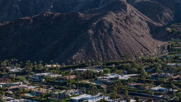
You can sit outside in pleasant sunshine and look toward mountains covered in snow. That contrast is one of the Coachella Valley’s most memorable winter views: dry foothills and palms below, a white high country beyond.
The explanation begins with elevation, but it does not end with a simple rule about losing a certain number of degrees every thousand feet.
The mountains are sampling a different part of the atmosphere. The snow may have fallen during an earlier storm. And the warmth you feel in direct sunshine is different from the air temperature measured by a shaded thermometer. Those three ideas make the scene much easier to understand.
- Elevation can place the valley and nearby peaks in very different temperature conditions.
- Actual temperature differences vary; an inversion can make a lower layer warmer as you climb.
- Snow remaining on the ground, falling snow and the warmth of a sunny patio are different observations.
Nearby on the map, far apart in elevation
A mountain can feel close because it fills the view from your neighborhood. Vertically, it can be an entirely different environment.
San Jacinto Peak reaches 10,834 feet, according to California State Parks. The Palm Springs Aerial Tramway’s Mountain Station is at 8,516 feet—high above the desert, but still below the summit.
That distinction matters. “Palm Springs weather,” “weather at the top of the tram” and “summit weather” describe different places. Even the tram’s Valley Station is already above the desert floor; its name should not be read as a valley-floor elevation.
You do not need to travel a great horizontal distance to encounter a substantial change in temperature, wind, surface conditions and vegetation.
Why does temperature generally decrease with height?
The lower atmosphere is strongly influenced by exchanges of energy with the ground. Sunlight warms surfaces, and those surfaces transfer energy to the air around them.
Pressure also decreases with height. When an air parcel rises into lower pressure, it expands and cools. Descending air can compress and warm. These processes help explain the temperature structure of the lower atmosphere.
But there is an important distinction: the cooling of a particular rising parcel is not automatically the temperature difference between two weather stations on a mountain. The surrounding atmosphere has its own measured temperature profile, shaped by the weather.
The rate of temperature change with height is called a lapse rate. It can vary from day to day and between layers on the same day.
Try it: travel from a valley reference to summit elevation
Choose one of two invented weather profiles and move the elevation slider. The first illustrates a mild valley day with cooling as you climb. The second illustrates a cool morning with an inversion near the bottom.
One landscape · Different weather profiles
What changes as you go higher?
At the zero-foot reference, this mild-day example begins at 70°F.
These are two separate hypothetical profiles, not today’s weather or a time-lapse forecast. The zero-foot starting point is a convenient model reference, not a claim that every Coachella Valley neighborhood is at sea level. Named elevations are geographic reference heights, not a suggested route. The drawn snow remains fixed because air temperature alone does not calculate snow cover.
Why the difference is not a fixed number
A standard-atmosphere comparison often uses about 3.6°F of cooling per 1,000 feet. It is a useful way to illustrate scale, but it is not a daily forecast rule.
Clouds, incoming air masses, wind, surface heating, nighttime cooling and moisture can change the profile. Slope direction, shade and snow cover also affect conditions near the ground.
Two stations can therefore differ by more or less than a simple elevation calculation suggests. Comparing their readings is most meaningful when you match the time and understand where each sensor sits.
The first profile above uses the 3.6°F-per-1,000-foot approximation deliberately. The inversion option shows why a single straight line cannot describe every situation.
An inversion can make the first part of the climb warmer
During an inversion, temperature increases with height through a layer instead of decreasing. One way this develops is when the ground cools at night and chills the air immediately above it, leaving warmer air higher up.
Clear skies and light winds can favor that nighttime arrangement. Cold air can also collect in low terrain. A morning valley reading may therefore be cooler than a reading on a nearby slope.
That does not mean the whole mountain becomes warmer with every step upward. An inversion occupies a layer; temperature may resume decreasing above it. In the illustrated morning profile, the first 2,000 feet warm, then the higher atmosphere cools again.
Snow on the mountain does not mean it is snowing now
The snow you see from the valley may be left from an earlier storm. A clear, sunny day can arrive after the precipitation has ended.
Existing snow does not disappear the instant the air becomes warmer than freezing. Melting requires energy, and the amount of snow, sunlight, shade, wind and exchanges of heat with the surroundings all influence how quickly it changes.
Snow cover and air temperature answer different questions. One describes what is still on the surface; the other describes the air at a particular place and time.
The elevation where falling precipitation changes between rain and snow is another question again. The temperature and moisture through the air column matter, so the 32°F reference on the graph should not be read as a forecast snow line.
Why the patio can still feel pleasant
Direct sunshine adds radiant warmth to your skin, clothing and the surfaces around you. That can make a sheltered patio feel comfortable even when the shaded air reading is fairly cool.
Step into shade or lose the sun behind a nearby ridge and the experience can change quickly. This is the same distinction explored in why desert evenings can feel cool so suddenly.
Meanwhile, the snowy mountains remain high above you in a different environment. A comfortable seat in the sun is a local experience, not a measurement of conditions on the skyline.
Enjoy the contrast—and read the destinations separately
Your valley forecast is useful for your valley day. For a mountain visit, check the actual destination’s forecast and current conditions rather than subtracting a fixed number of degrees from home.
The Tramway’s official information and Mount San Jacinto State Park’s winter-conditions guidance are useful starting points. Snow, ice and wind can remain relevant even when the desert looks inviting.
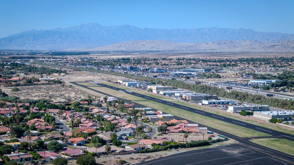
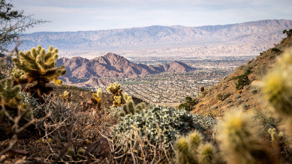
For photography, try keeping some dry foreground in the frame. That contrast tells the local story more clearly than a tight crop of white peaks alone. The original photograph below shows the contrast between dry foothills and snowy high mountains. It does not establish the temperatures at either location when it was taken.

Once you start reading the view vertically, the apparent contradiction disappears. The patio and the summit are close enough to share a photograph, while still occupying very different parts of the atmosphere.
Questions about snow above the desert
How can there be snow on the mountains when the valley feels warm?
The mountains are much higher and often colder than the valley. The visible snow may also remain from an earlier storm, while sunshine makes a sheltered valley patio feel comfortable.
How much colder is it for every 1,000 feet of elevation?
There is no fixed daily number. About 3.6°F per 1,000 feet is a standard-atmosphere approximation used in the first illustration, but actual temperature profiles vary with weather and terrain.
Can a higher place ever be warmer than the valley?
Yes. In a temperature inversion, air warms with height through a particular layer. Above that layer, the usual cooling with height may resume.
Is the tram’s Mountain Station the summit of San Jacinto?
No. The Mountain Station is at 8,516 feet, while San Jacinto Peak reaches 10,834 feet. They are separate places with potentially different weather and surface conditions.
Does the 32°F line tell me where snow will fall or remain?
No. The graph shows air temperature in an invented profile. Falling precipitation depends on the air column, and existing snow cover depends on its history and energy exchanges. Neither is calculated by this illustration.
Sources and model notes
Sources reviewed October 21, 2026.
- California State Parks: Mount San Jacinto State Park — summit elevation, high-country setting and variable winter conditions.
- Palm Springs Aerial Tramway: About Us and FAQ — Mountain Station elevation and destination-weather context.
- National Weather Service Louisville: What is a temperature inversion? — cooling with height and near-surface inversion formation.
- NOAA Technical Memorandum NWS WR-215, Weathertools (1991), Mountain Temperatures, printed pages 4–5 — standard 3.6°F-per-1,000-foot approximation and its limitations in complex terrain.
- National Weather Service Louisville: Determining Winter Precipitation — how temperature layers affect melting and precipitation type.
- NOAA Forecast Operations Guide: Snow Measurement Uncertainty — snow depth, warming and surface melt.
Model notes: The mild-day profile is T°F = 70 − 3.6 × elevation in thousands of feet. The morning inversion begins at 44°F at the zero-foot reference, increases linearly to 55°F at 2,000 ft, then decreases by 3.6°F per 1,000 ft above that. These are separate invented examples, not observations, a local climatology, a forecast or an air-parcel ascent calculation. Heights are feet above sea level. The graph’s 32°F line is a temperature reference, not a computed snow level. Mountain shape, path and fixed snow patch are schematic.
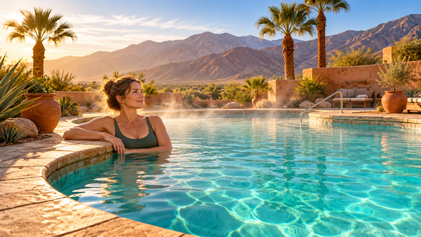
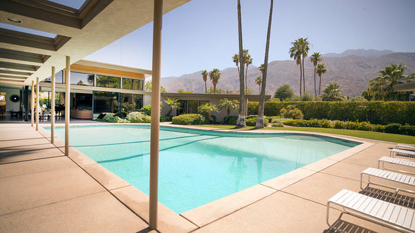
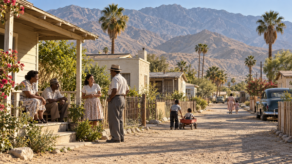
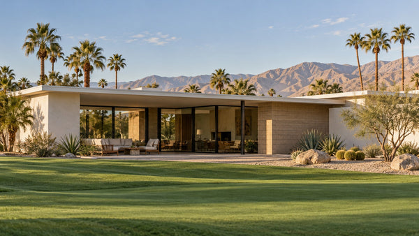
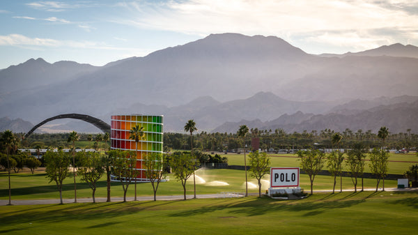
Photography and illustration: The featured image is AI-generated using Mark Miller’s real snowy-mountain photograph and Empire Polo palm-and-landscape photography as visual references. The patio is an illustrative setting, not a documented property or exact view. The original snowy-mountain photograph appears within the article. Neither image supplies the temperatures used in the interactive model.


