









Why Is the Coachella Valley Hazy? Dust, Smog and Air Quality Explained
Learn what softens the mountain view, what you cannot see in the air, and how to check conditions before heading outside.

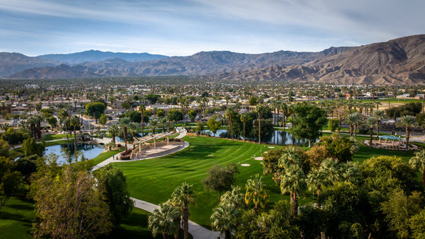
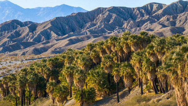
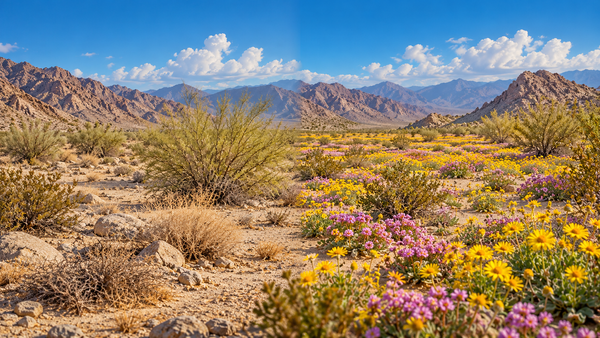
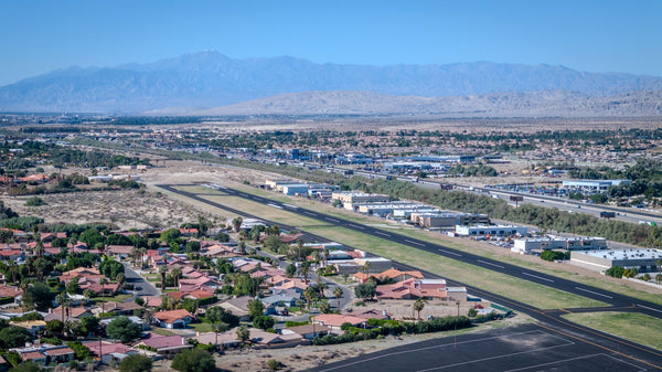
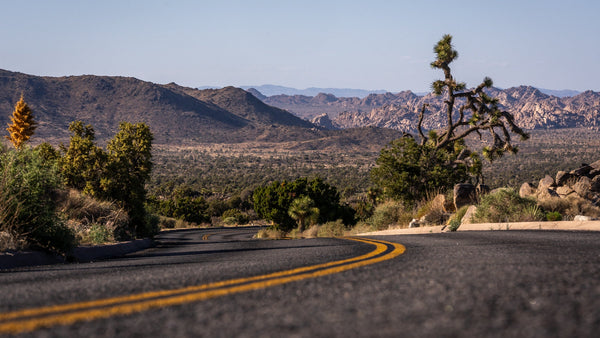
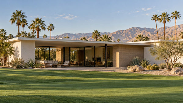
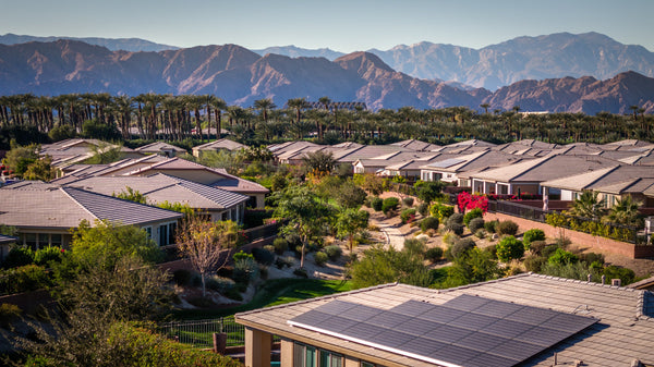
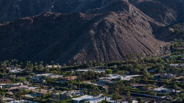
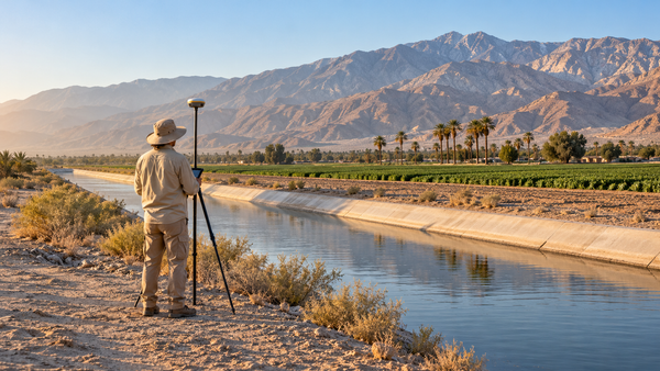
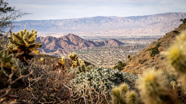
Some days, the Coachella Valley’s mountains look close enough to touch. On others, the same ridgelines fade into a pale gray or brown distance. As a photographer, I usually prefer the clearer days. When I am documenting a development project, though, the point is to record what is there—even when the view is less dramatic.
That changing view raises a useful question: what is actually in the air? Windblown dust, fine particles, wildfire smoke and ozone are different things. More than one can be present at once, and the appearance of the mountains cannot tell the whole story.
- Haze is a visual clue, not an air-quality measurement. Use current readings and advisories to interpret it.
- Dust and smoke contain particles. Ground-level ozone is a gas you cannot see.
- Check your location, time and pollutant. One reading cannot describe every neighborhood or the whole day.
- Plan around conditions. A walk, round of golf or outdoor workout can wait for better air.
Before you head outside
Check the air where you are going
Open the official map, search your city or address, and read the observation time and pollutant. These links open current agency information; this article does not display a live AQI.
Why the mountain view fades
The view depends on what happens to light between the mountain and your eyes. Airborne particles can scatter and absorb that light, reducing contrast and muting colors. Some particles also interact with moisture, making the effect stronger in humid conditions. That is why a distant ridge can lose its definition while a nearby palm remains easy to see. [1]
But “hazy” describes an appearance, not one specific pollutant. A photograph records the view, including lighting and atmospheric effects. It does not measure the air you are breathing.
What am I seeing?
Open the card that best matches the view. These are starting points for checking official information, not a way to diagnose air quality by sight.
Sand or dust is blowing
Dust is one possibility, especially when loose material is moving across open ground or roads. Look at PM10 as well as PM2.5, and read the local dust advisory. A visible plume does not reveal its chemical composition. [3], [4]
Check dust advisories ↗The air looks or smells smoky
Check the AirNow Fire and Smoke Map and AQMD advisories. Smoke can travel from a distant fire. PM2.5 is especially useful during smoke events; a nearby fire marker alone does not establish the air quality at your location. [10], [13]
Open the Fire and Smoke Map ↗Distant mountains look washed out
Particles scattering light can reduce distant detail. Humidity can amplify that effect. This view alone cannot separate dust from smoke or other particles, and it cannot supply an AQI. [1]
Check current air quality ↗The sky looks clear
Ozone is invisible. Check the reported pollutant and forecast even if there is no obvious dust or smoke—particularly before prolonged outdoor exertion on a hot afternoon. [3], [6], [7]
Check ozone and particle readings ↗Dust, sand and fine particles are not interchangeable
A gritty patio and a particle-pollution alert are related possibilities, but they are not the same measurement. PM10 means inhalable particles generally 10 micrometers across or smaller. PM2.5 is the finer subset, generally 2.5 micrometers or smaller. These labels describe size, not a single source. Fine particles can come from combustion or form through reactions in the atmosphere; disturbed soil, unpaved roads and construction can also release particles. [2]
The Coachella Valley has a specific dust challenge. Strong winds can lift material from exposed surfaces, and dust sources differ across the landscape. AQMD’s eastern-valley research distinguishes potential contributions from exposed Salton Sea playa, desert soil and road dust. It would be misleading to label every hazy day “Salton Sea dust” without supporting evidence. [4]
In its early-2026 update, AQMD described expanded dust monitoring, source research and mitigation work, including cameras overlooking different parts of the valley. Those cameras help show movement and visibility; they complement measurements rather than replace them. Explore the official DustCam views. [5]
Wildfire smoke can arrive from somewhere else
You do not need a fire in your immediate neighborhood for smoke to matter. When smoke is suspected, use the AirNow Fire and Smoke Map to look at particle readings alongside fire and smoke information. Then check AQMD’s local advisory for context. Read the map’s legend: a smoke layer, fire location and ground-level monitor each tell you something different. [13]
Do not use a reassuring map color to dismiss obvious smoke or falling ash. AQMD notes that larger windblown ash may not be captured by air-quality instruments or reflected in the AQI. If you see ash or smell wildfire smoke, take precautions and follow the agency’s guidance. [12]
Ozone: the concern you cannot photograph
Ground-level ozone is a gas and a major component of smog. Unlike a dust cloud, ozone itself is invisible. It forms when nitrogen oxides and volatile organic compounds react in sunlight. Emissions from vehicles and other sources supply those ingredients; ozone can also travel long distances. [3], [6]
This is different from the protective ozone layer high in the atmosphere. At ground level, breathing elevated ozone can be harmful. Hot, sunny conditions favor its formation, although elevated levels are not confined to summer. [6]
AQMD’s seasonal guidance highlights heat, sunlight and stagnant air, with inland afternoon hours often a concern. That makes “I can see the mountains clearly” a poor substitute for checking ozone. An early walk may avoid an afternoon ozone peak, but smoke or dust can follow a different schedule. Check the actual forecast. [7]
Read the AQI, the pollutant and the timestamp
The U.S. Air Quality Index translates pollution levels into a common scale. Higher numbers indicate greater health concern. These are the official category ranges, not today’s conditions. [8]
| U.S. AQI | Category | Meaning |
|---|---|---|
| 0–50 | Good | Little or no air-pollution risk. |
| 51–100 | Moderate | Some unusually sensitive people may be affected. |
| 101–150 | Unhealthy for sensitive groups | Greater concern for people sensitive to the reported pollutant. |
| 151–200 | Unhealthy | Health effects become possible for the general public. |
| 201–300 | Very unhealthy | Increased health risk for everyone. |
| 301+ | Hazardous | Emergency-level health warning. |
For a useful check, ask three questions:
- Where is the reading? Select the area you will actually visit.
- Which pollutant is reported? Look for ozone, PM2.5 and PM10 rather than treating every number as a dust reading.
- When and what kind of reading is it? Current conditions, a daily summary and tomorrow’s forecast answer different questions. AirNow’s current NowCast uses recent observations; it is not an instantaneous sample at your front door. [9]
Read the activity guidance attached to the reported pollutant and category. A health condition, the intensity of your activity and the time spent outside all matter. Sensitive groups vary by pollutant; follow the agency’s specific advice. [3], [8]
Make a small adjustment before a long exposure
For a hike, pickleball session, golf round or photography outing, check conditions before leaving and again if the air changes. During smoke events, AirNow recommends reducing outdoor exertion, shortening exposure or postponing activities until air improves. Taking frequent breaks in cleaner indoor air can help when essential outdoor tasks cannot wait. [10]
Indoors, smoke guidance emphasizes keeping the air both clean and cool. A suitable portable air cleaner and appropriate HVAC filtration can reduce particles. Closing windows should never mean remaining in an overheated home; seek a cooler, cleaner indoor space if necessary. [10]
Make the check easier next time: set up AQMD air alerts. AQMD also provides separate hydrogen-sulfide monitoring and alerts for Salton Sea odor events. An odor report and a particle reading are not interchangeable. [11]
The goal is to understand the view and make a better decision about your day. Enjoy the mountains—but let current readings, forecasts and advisories guide your air-quality decisions.
Common questions about Coachella Valley air quality
Why is the Coachella Valley hazy?
Airborne particles can scatter and absorb light, softening distant views. Dust, smoke and other particles may contribute, and humidity can strengthen the effect. The appearance alone does not identify the cause.
Does a clear blue sky mean the air quality is good?
No. Ground-level ozone is invisible, and particles may be present without an obvious cloud. Check current AQI, pollutant details and advisories before relying on the view.
Is all the dust coming from the Salton Sea?
No. Potential sources include desert soil, exposed playa, roads and disturbed ground. Identifying the contribution of each source requires measurements and analysis.
Where should I check air quality before hiking or playing golf?
Start with South Coast AQMD’s current air-quality map and local advisories. During wildfire smoke, also consult the AirNow Fire and Smoke Map. Check the location and timestamp, then follow the activity guidance.
Is the air always better in the morning?
No. Morning may avoid a later ozone peak, but smoke and dust can change on different schedules. Use the forecast and current readings for that location and day.
Sources, photo credits & research notes
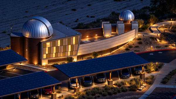
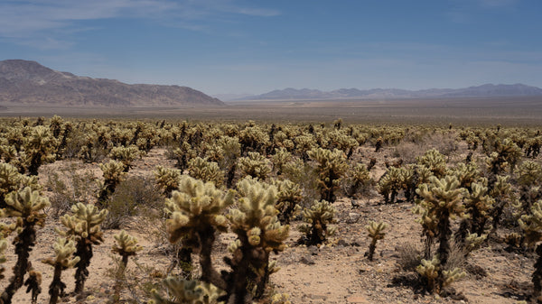
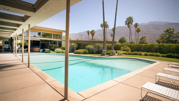
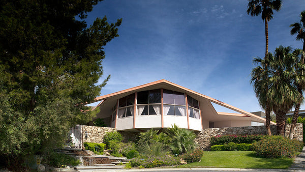
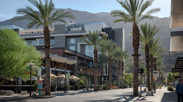
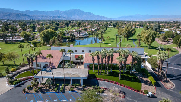
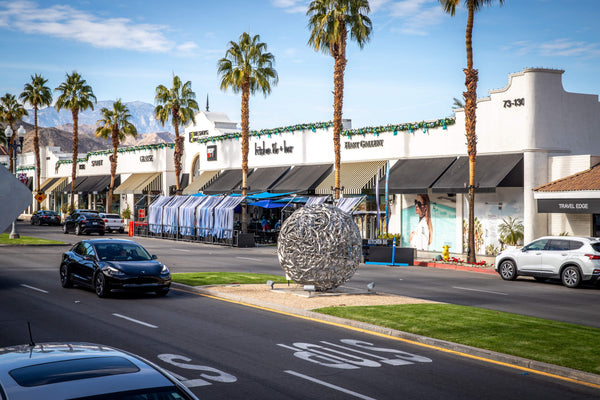
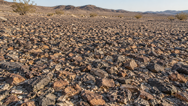
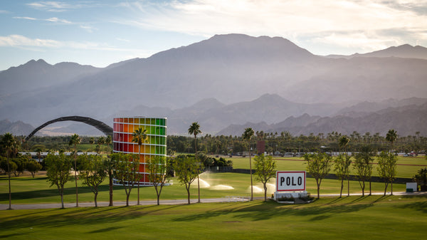
Research checked October 15, 2026. This is an evergreen explainer, not a live air-quality report. Photography is Mark Miller’s; neither image has added haze, and neither is used to assign a pollutant or AQI.
- U.S. EPA — Basic Information about Visibility
Updated May 18, 2026. Light scattering, humidity and haze sources. Accessed October 15, 2026.
- U.S. EPA — Particulate Matter Basics
Updated September 18, 2026. Particle sizes and sources. Accessed October 15, 2026.
- South Coast AQMD — Air Quality
Particle pollution, invisible ozone and local AQI guidance. Accessed October 15, 2026.
- South Coast AQMD — Eastern Coachella Valley Dust Study
2022 study announcement; used for source distinctions, not presented as current study results. Accessed October 15, 2026.
- South Coast AQMD — Advancing Dust Solutions in the Coachella Valley
January–February 2026. Dust monitoring, research and mitigation. Accessed October 15, 2026.
- U.S. EPA — Ground-level Ozone Basics
Updated February 18, 2026. Ozone formation, transport and health. Accessed October 15, 2026.
- South Coast AQMD — Ozone Season Begins
May–July 2026. Seasonal and afternoon ozone patterns. Accessed October 15, 2026.
- AirNow — AQI Basics
Official U.S. AQI categories and ranges. Accessed October 15, 2026.
- AirNow — Using the Air Quality Index
Forecasts, daily AQI and current NowCast readings. Accessed October 15, 2026.
- AirNow — When Smoke Is in the Air
Outdoor activity, smoke exposure and cleaner indoor air. Accessed October 15, 2026.
- South Coast AQMD — Sign Up for Air Alerts
Local alerts, app information and separate Salton Sea odor monitoring. Accessed October 15, 2026.
- South Coast AQMD — Air Quality Advisories
Official advisories and limitations of AQI for visible windblown ash. Accessed October 15, 2026.
- AirNow — Using AirNow During Wildfires
How the Fire and Smoke Map supports smoke checks. Accessed October 15, 2026.


