














Coachella Valley History
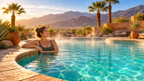
From the polo fields in Indio to the hot spring in downtown Palm Springs, familiar places hold pieces of a much older story. Follow the water, the people and the roads that made the valley we know today.

A valley mapped by water
Before there was a road called Highway 111, there were routes between springs, canyons, the valley floor and the mountains. For Cahuilla communities, knowing where water could be found and when foods could be gathered made those places part of a connected homeland. A map drawn around the nine cities misses much of that geography.
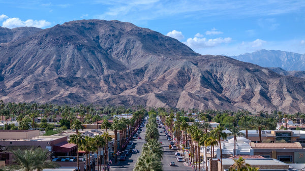
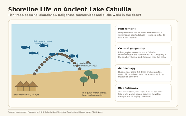
Water itself moved. At intervals the Colorado River flowed into the Salton Trough and filled ancient Lake Cahuilla. People fished and lived along its shores. When the river changed course and the lake receded, the distance between a settlement and the water could change with it. A pale shoreline on a mountainside is one way to picture that earlier valley from the one we stand in today.

Explore this chapter
Why a railroad stopped in Indio
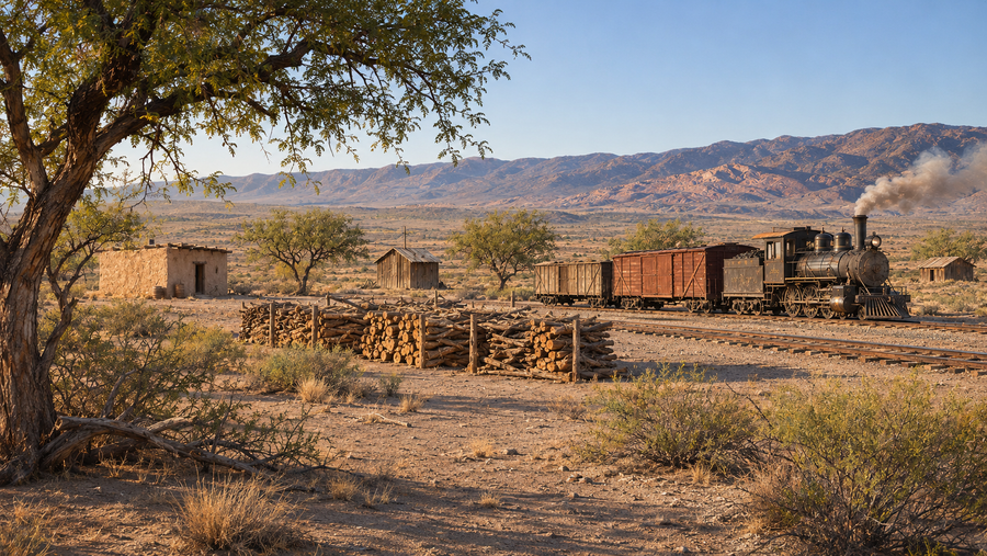
Crossing the desert depended on the distance between water sources. Dos Palmas became a stage stop because travelers and animals could replenish water there. Steam locomotives also needed water, but the railroad changed what a stop could become. When Southern Pacific reached Indio in 1876, the tracks tied one point on the desert floor to a much larger network.
Workers and their families needed homes, food and services. Farther southeast, the siding called Woodspur developed into Coachella. A farmer near the line could send produce farther than a wagon could carry it fresh. The railroad also left a different map around Palm Springs, where alternating sections of railroad and reservation lands still help explain the patchwork of land ownership.
Explore this chapter
A new sea and a crop built by hand
Between 1905 and 1907, Colorado River water poured through a failed irrigation diversion and filled the Salton Sink. The modern Salton Sea took shape in a basin that had held a far larger lake in earlier centuries. Its creation belongs to the history of irrigating the desert as much as to the history of the river itself.
At the northern end of the basin, date growers were learning which imported varieties would thrive. A grove seen from the air looks almost mechanical. Up close, the harvest depends on people who pollinate the palms, thin the fruit and tend the heavy bunches. By 1921 Indio was holding a date festival. The fruit had become both a livelihood and a way the valley introduced itself to visitors.

Explore this chapter
Two very different reasons to come to the desert
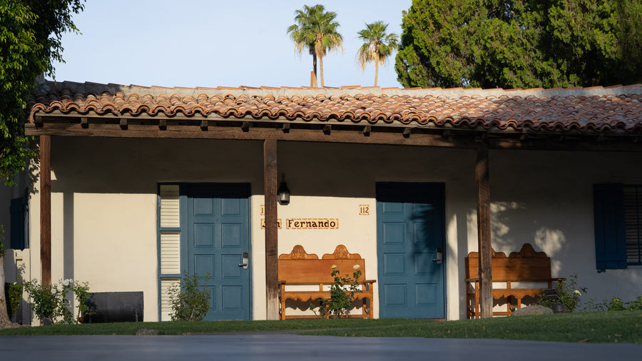
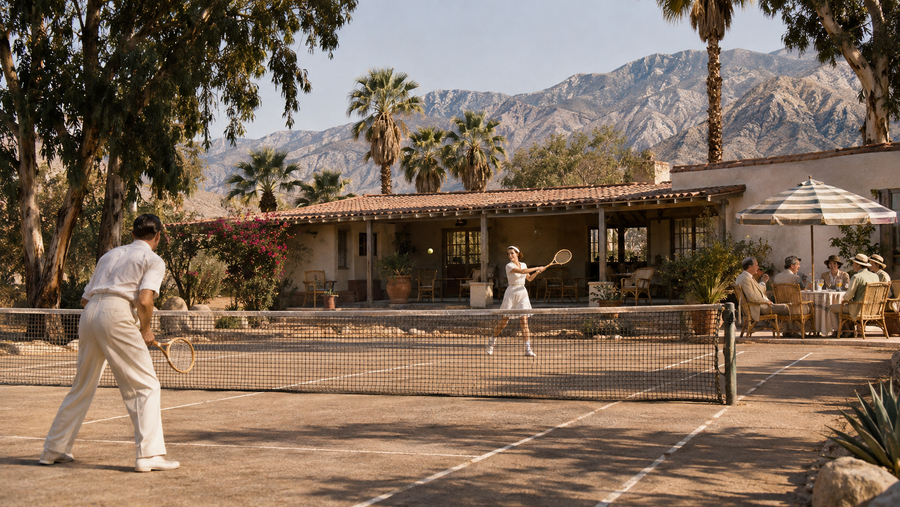
In Palm Springs, Nellie Coffman opened the Desert Inn in 1909. Hotels gave visitors a way to spend the winter near the mountains, and some became destinations in their own right. La Quinta Resort opened in 1926, decades before La Quinta became a city. For someone arriving today, it is easy to read that relationship backwards. The city inherited the resort’s name.
World War II put the same landscape to different uses. El Mirador, known for its tower and its guests, became Torney General Hospital. East of Indio, Camp Young served as headquarters for a vast desert training system. One chapter survives within the city; the other is easiest to understand by looking out across the open desert where troops trained.

Explore this chapter
Who built the valley, and who got to stay?
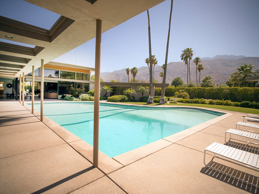
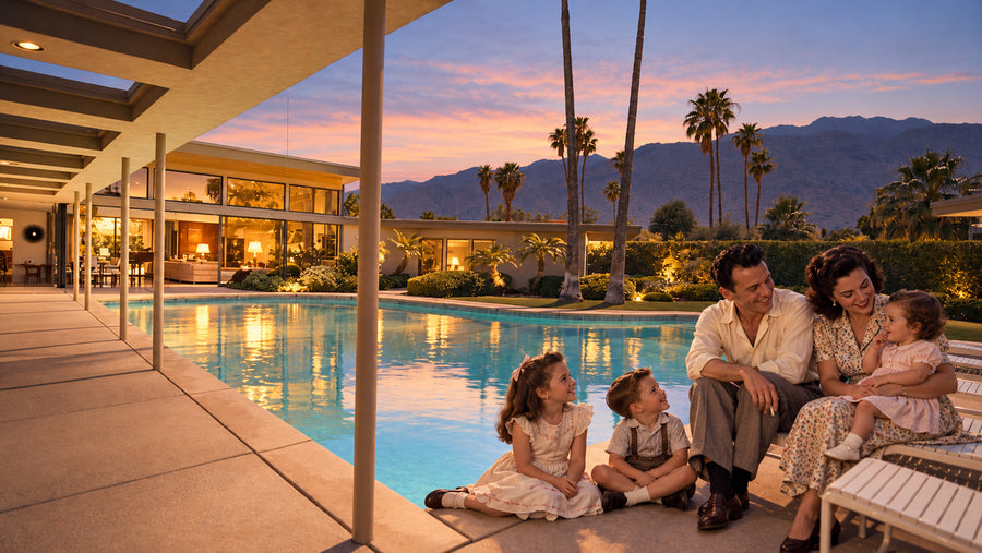
Two openings in the late 1940s tell different sides of the postwar story. In Palm Desert, Shadow Mountain Club offered a pool and a reason to buy a home in a new community. In the eastern valley, the Coachella Canal began delivering Colorado River water in 1949. One changed what developers could sell. The other changed how growers could supply their fields.
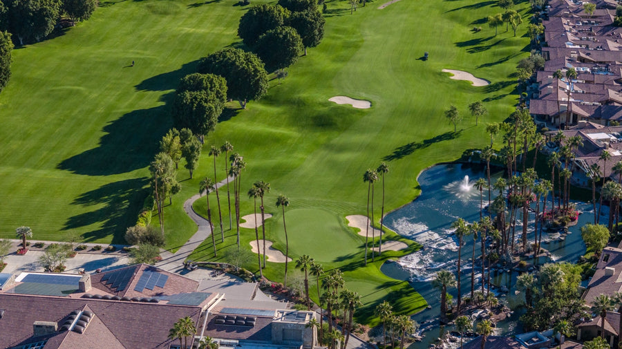
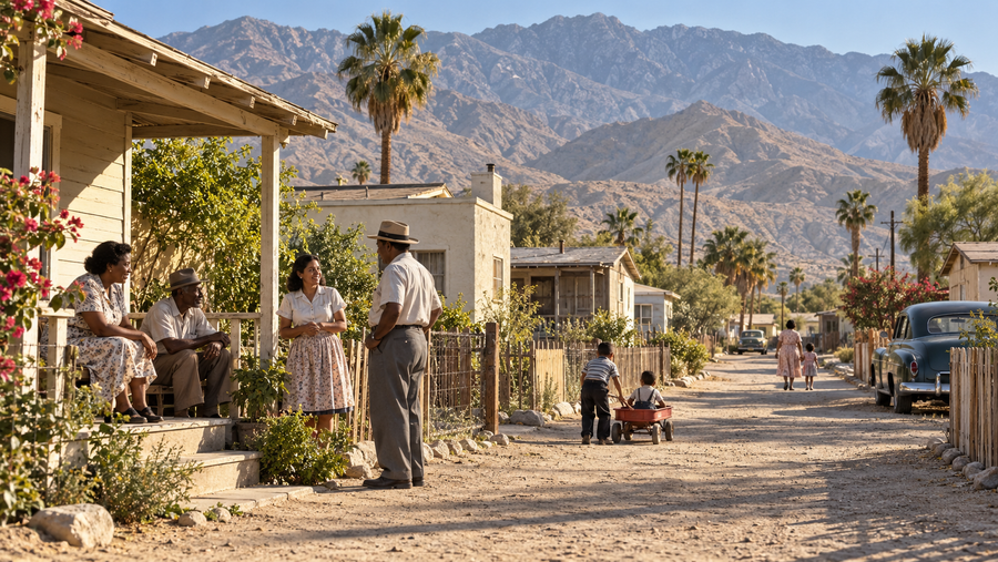
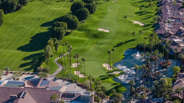
As land became more valuable, the consequences fell unevenly. In central Palm Springs, families who rented homes on Section 14 of the Agua Caliente Reservation lost homes during clearance campaigns. In the eastern valley, farmworkers organized over wages. In May 1965 a largely Filipino agricultural workers’ union struck local grape growers and secured a raise months before the better-known strike in Delano. Both stories belong alongside the photographs of pools and fairways.
Explore this chapter
One valley, many cities
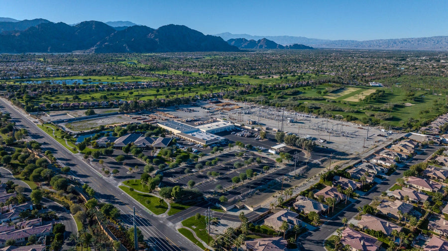
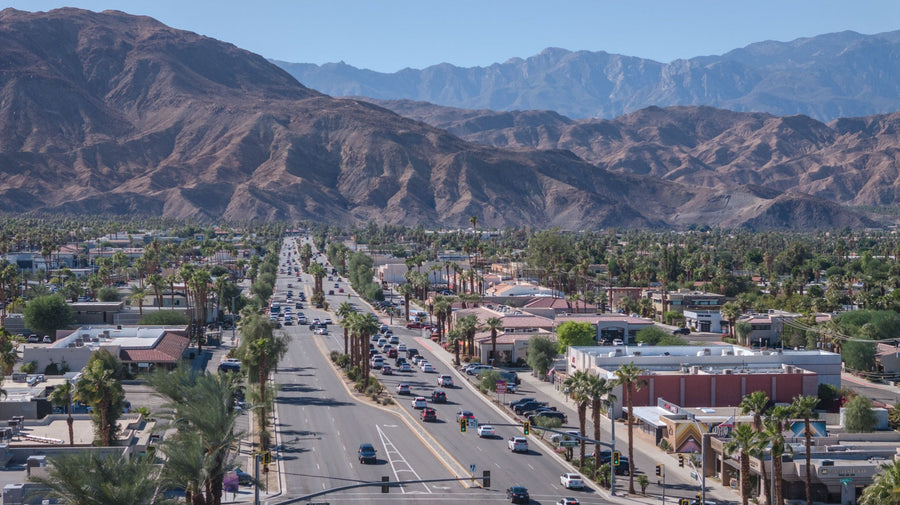
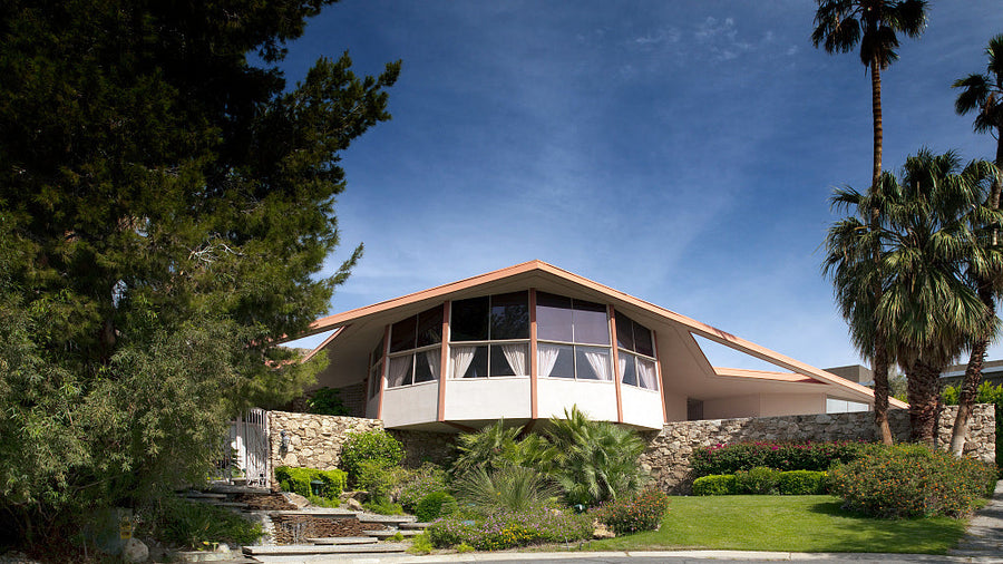
Drive Highway 111 today and a city boundary can pass almost unnoticed. Palm Desert and Rancho Mirage incorporated in 1973, Cathedral City in 1981 and La Quinta in 1982. The settlements, roads and businesses were already there. Incorporation gave residents local governments with decisions to make about growth, services and the landscape their neighbors shared.
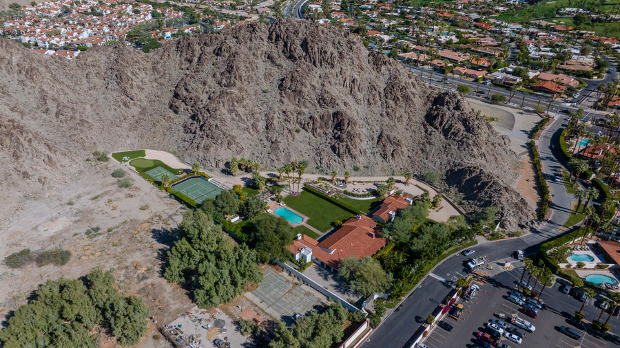
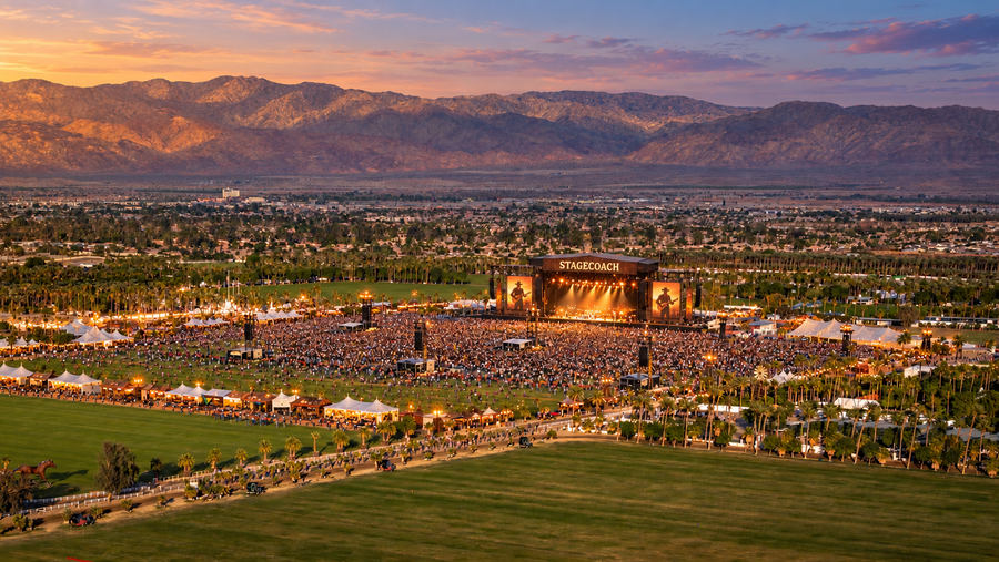
Near Indio, the open grounds and mountain backdrop of the polo fields found another audience. A Pearl Jam concert in 1993 helped establish the site as a concert venue. The first Coachella Valley Music and Arts Festival followed in October 1999. The festival borrowed the valley’s name, took place in Indio and introduced millions of people to a word already shared by a city, a canal and an agricultural region.

Explore this chapter
The history you can still see
In downtown Palm Springs, the Agua Caliente Cultural Plaza and Museum opened in 2023 beside the Tribe’s sacred hot mineral spring. A visitor following the valley’s history can return here to the subject of its first chapter and hear the Agua Caliente people tell their own story.
At the Salton Sea, a different kind of history is still unfolding. As the shoreline retreats, exposed lakebed and the loss of habitat affect people and wildlife. In 2025 water began filling an expansion pond at the state’s Species Conservation Habitat project. From the road, a stretch of open water can look timeless. Here, understanding which water you are seeing means knowing the history of a river, a farming region and a restoration effort.

Explore this chapter
- Five Agua Caliente women who shaped Palm Springs
- How the valley gained an arena
- The changing Salton Sea
Agua Caliente Cultural Museum · California’s Salton Sea habitat project